
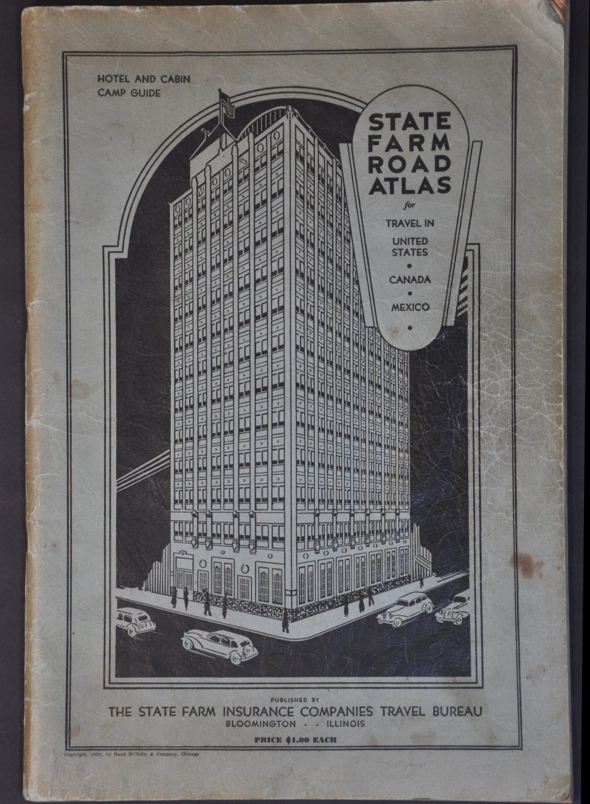
State Farm Road Atlas for Travel in United States – Canada – Mexico
$50.00
Depression-era tourist guide to the United States.
1 in stock

Description
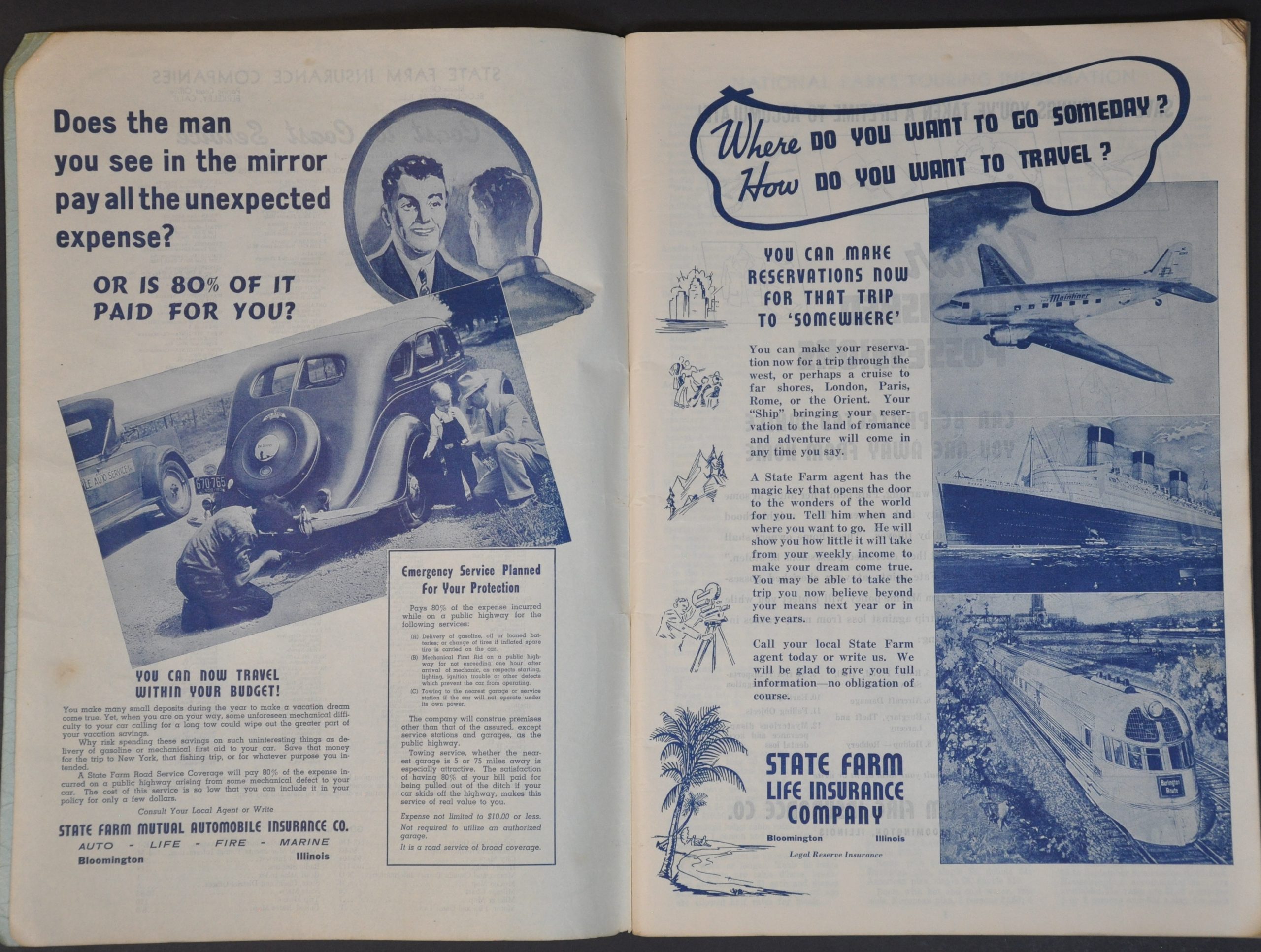
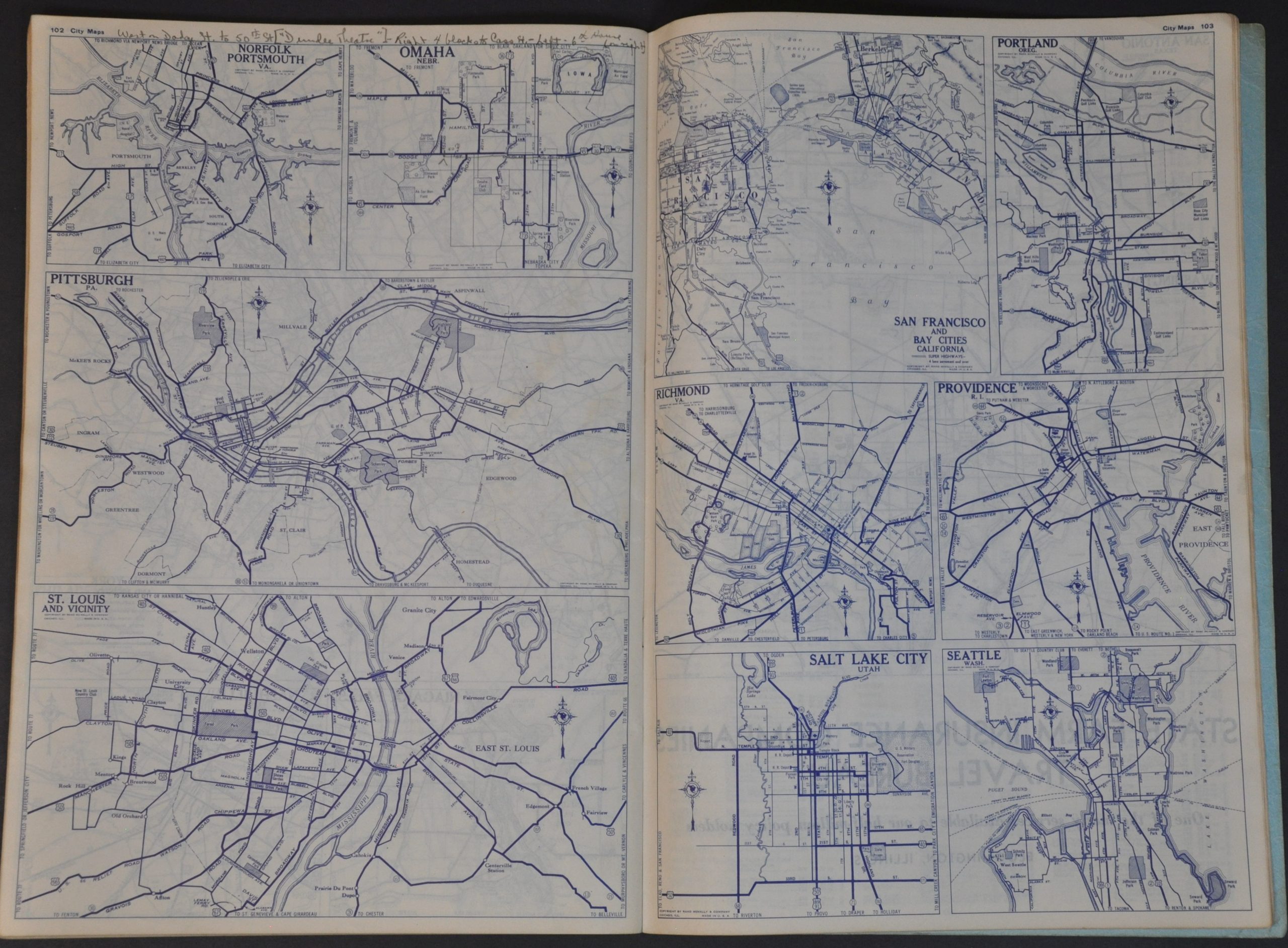
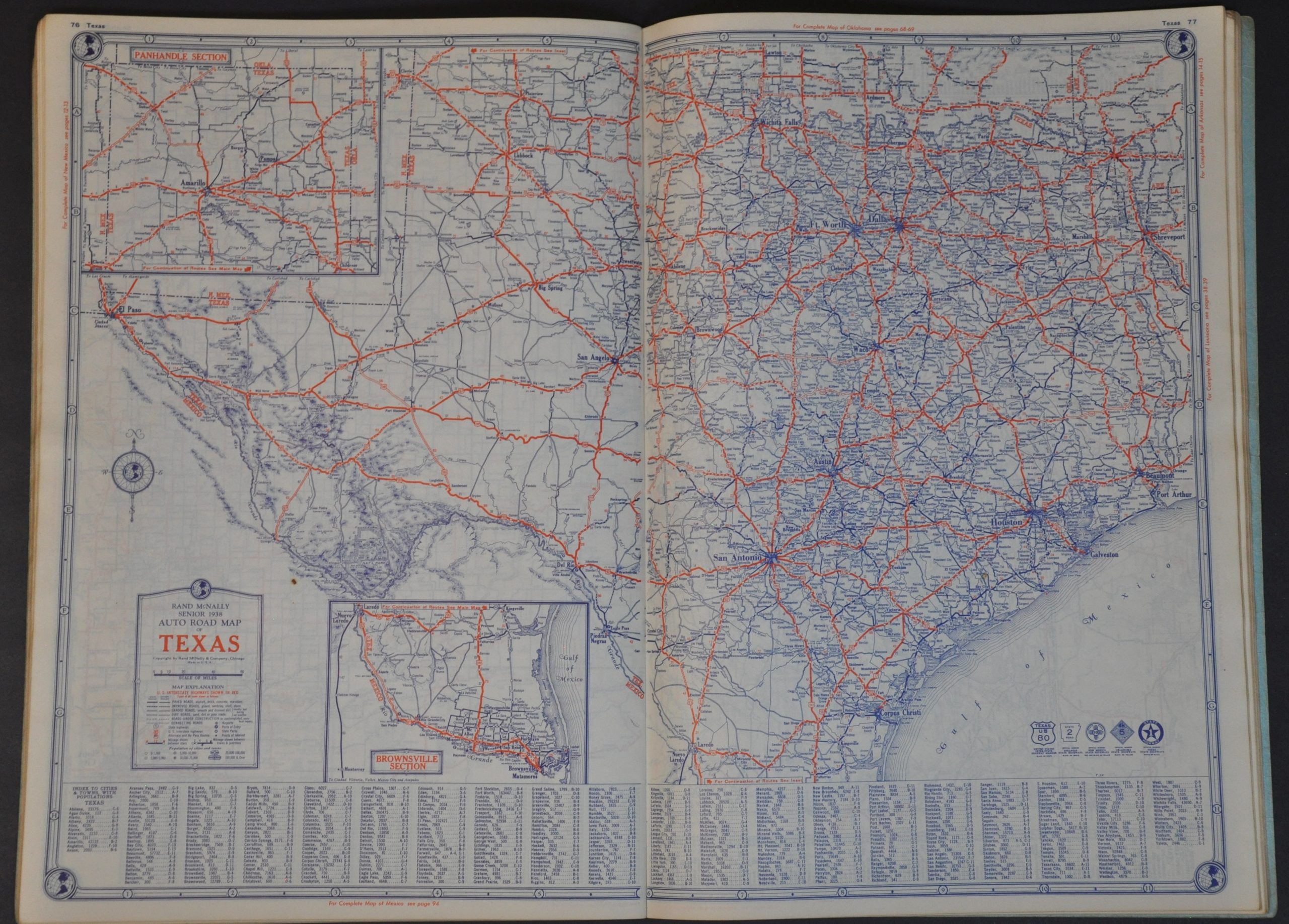
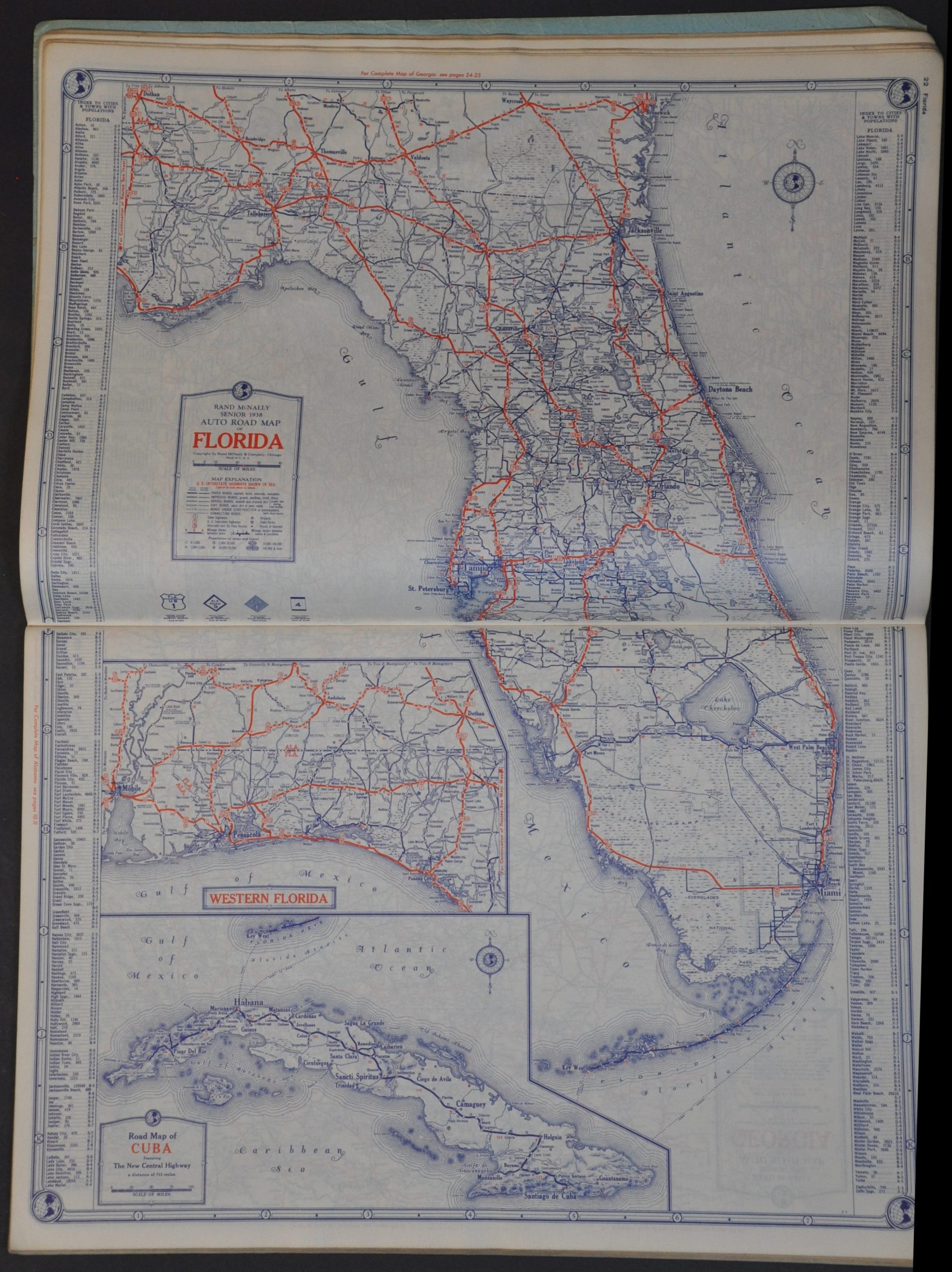
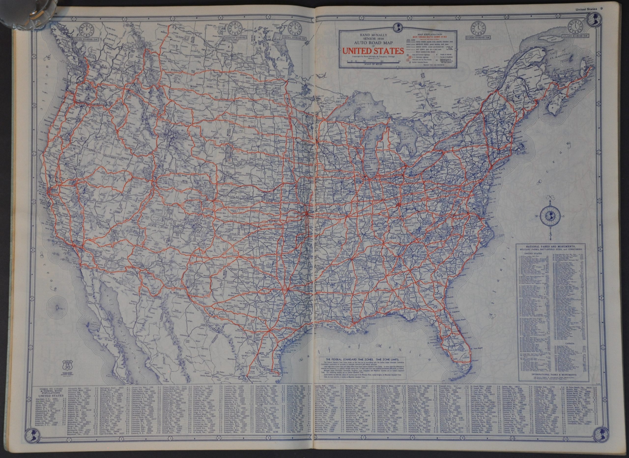
This combination road atlas, tourist guide, hotel catalog, and promotional piece was distributed compliments of the State Farm Insurance Travel Bureau of Bloomington, Illinois in 1938. A series of highway maps by Rand McNally cover the contiguous United States, Mexico, and Canada, plus major urban centers. Road surfaces are given between dirt and paved, while an interesting variety of landmarks, historic sites, and geographic features are labeled. Other features in the atlas include numerous city plans, a list of National Parks/Monuments, a ‘guide to principal places of interest,’ and an exhaustive index of hotels and various accommodations.
Map Details
Publication Date: 1938
Author: Rand McNally
Sheet Width (in): 10.50
Sheet Height (in): 15.75
Condition: B+
Condition Description: 120 pp. atlas with stapled binding and original green textured paper wraps. Covers are heavily soiled and worn, with creased corners that affect the first few pages. Contents are generally in very good shape, with some manuscript records in the section near the end.
$50.00
1 in stock