
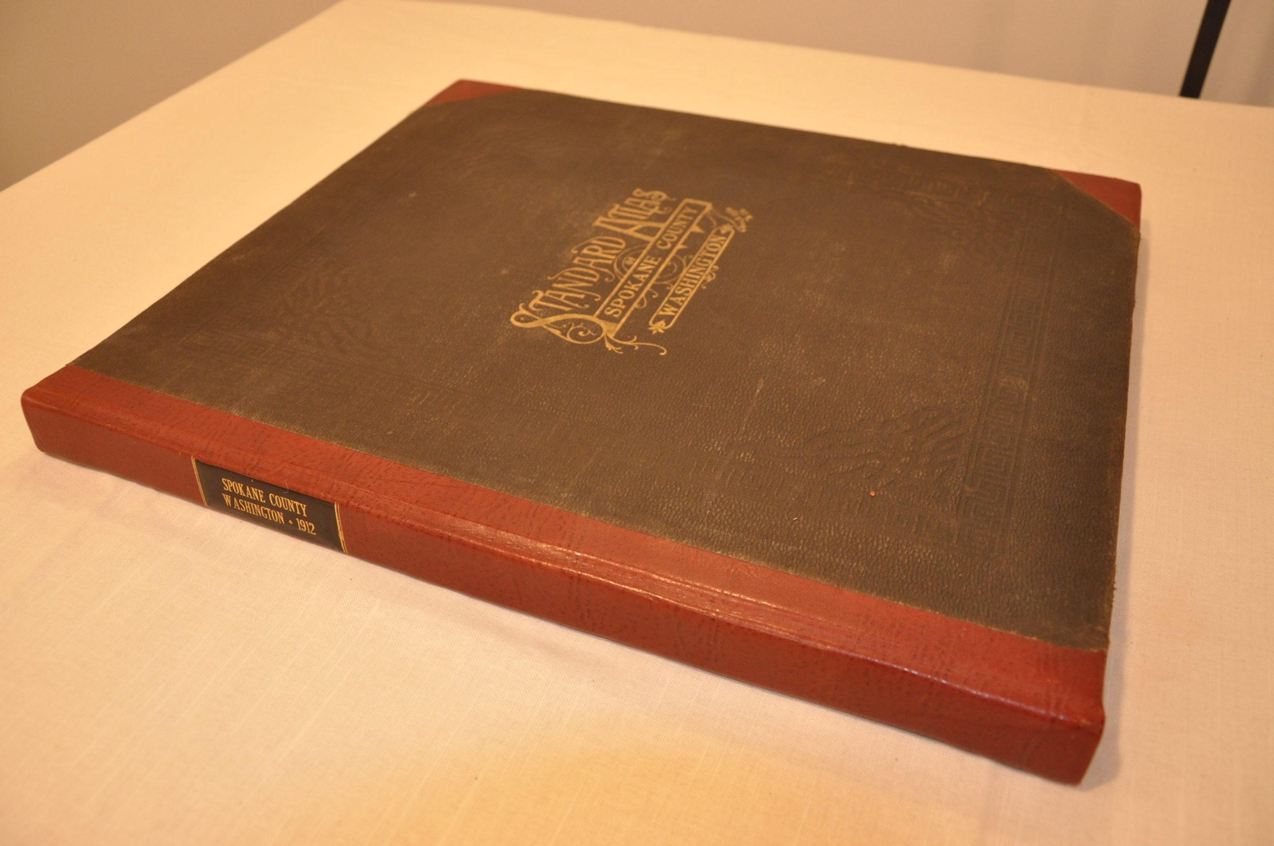
Standard Atlas of Spokane County, Washington
$875.00
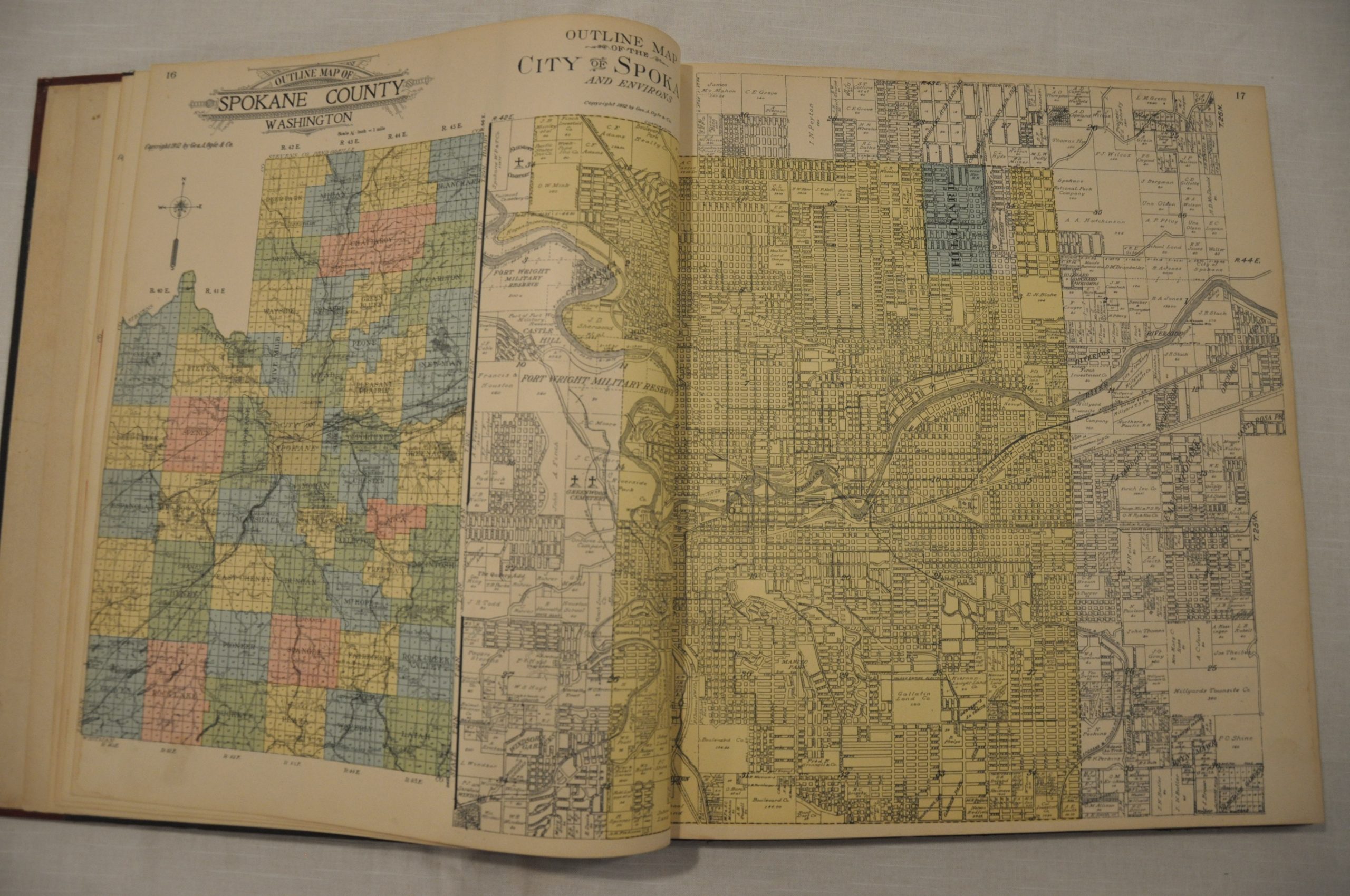
Important atlas of Spokane County showing its tremendous growth in the early 20th century.


Description
The arrival of the railroad in the final decades of the 19th century propelled Spokane County to the commercial center of the inland Northwest. Between 1880 and 1890, the population jumped nearly 800%; from just over 4,000 to nearly 38,000. Mining, forestry and agriculture provided the stimulus for the unprecedented growth.
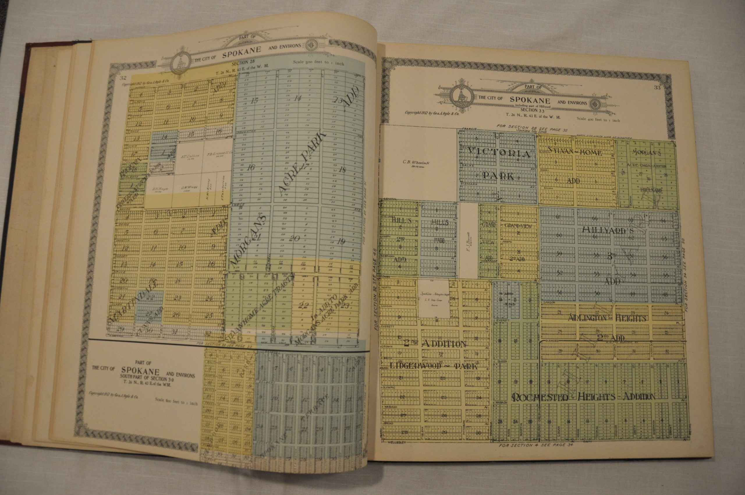
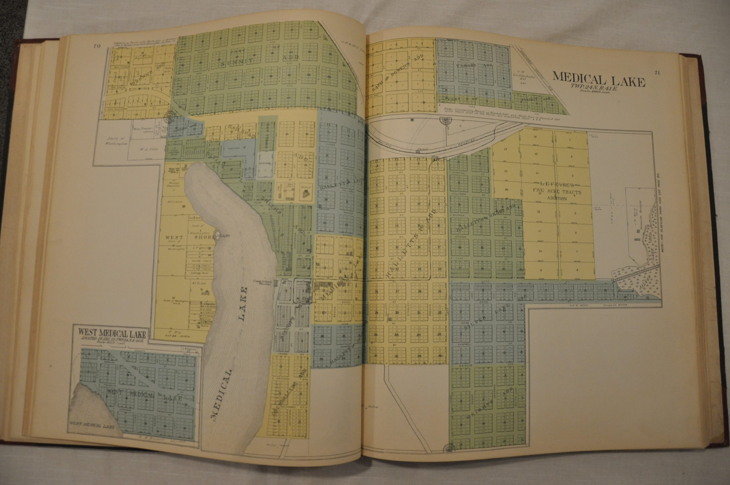
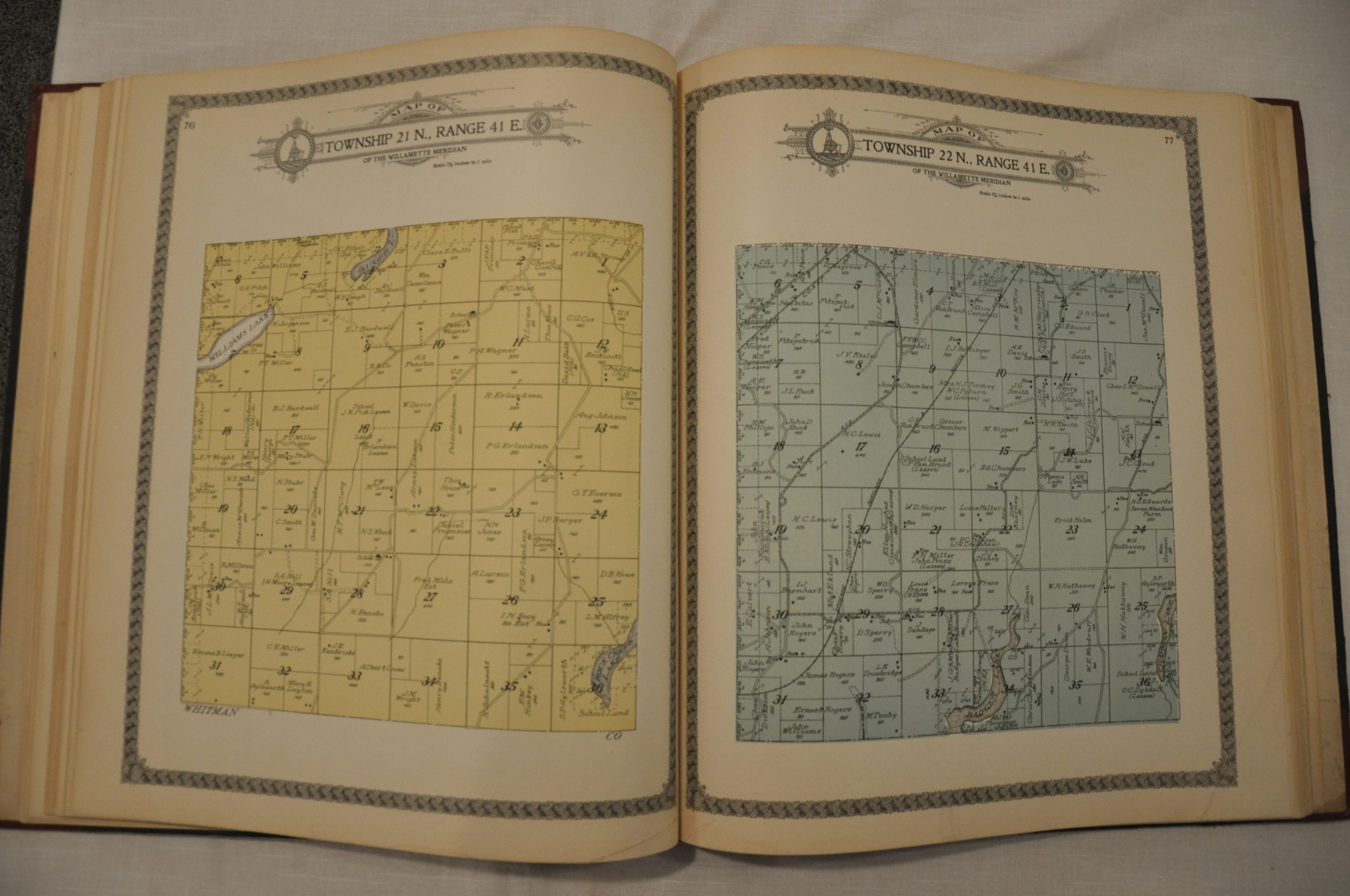
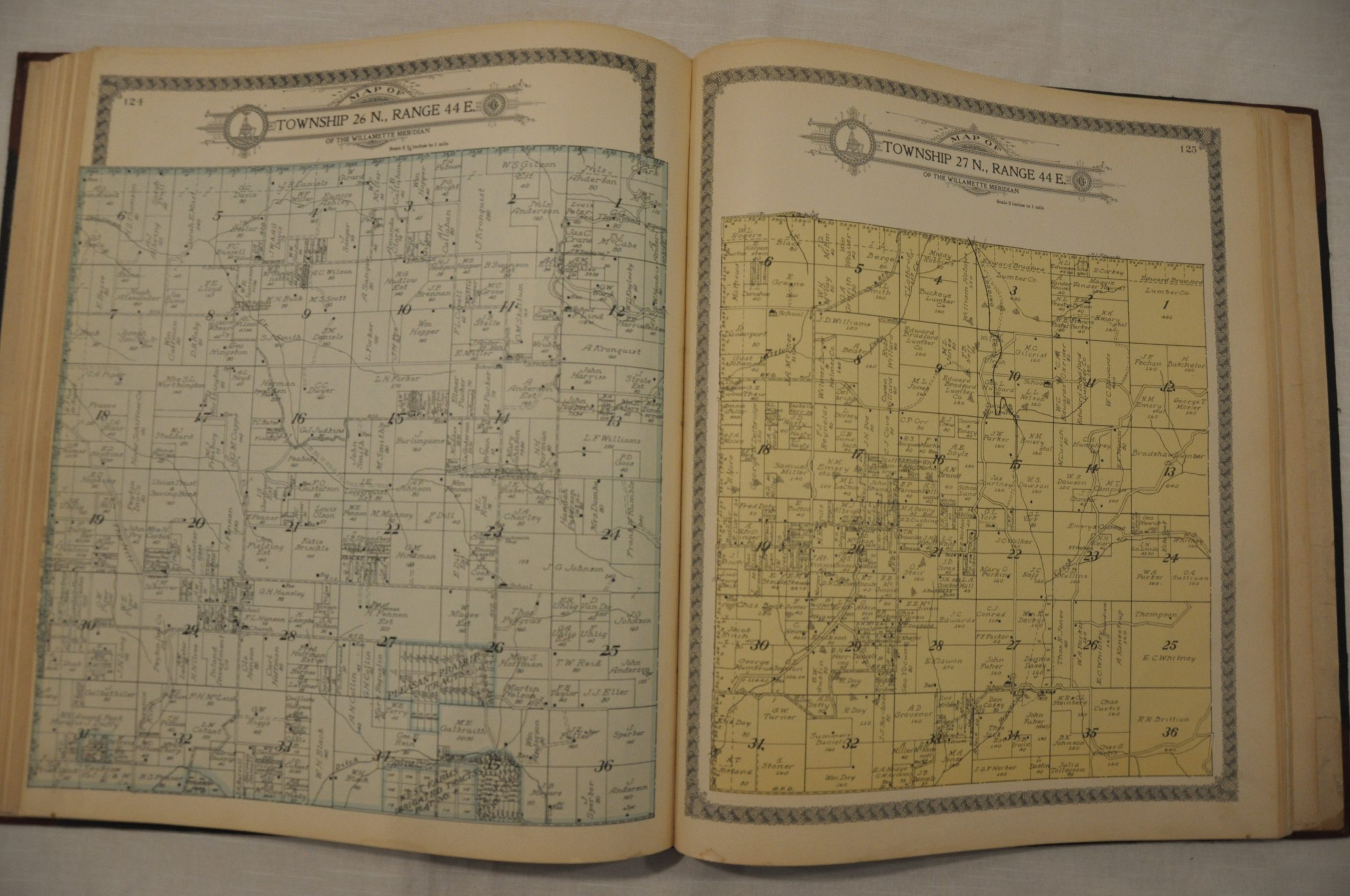
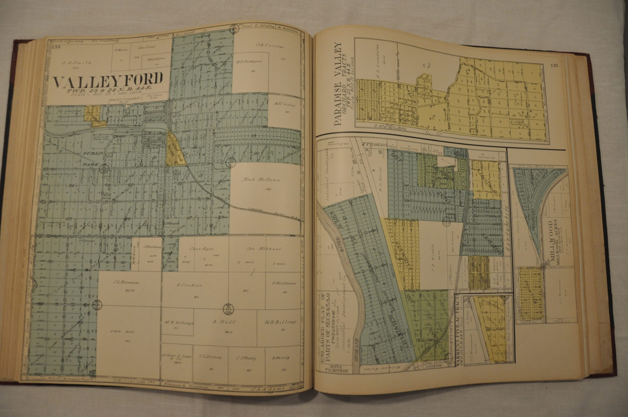
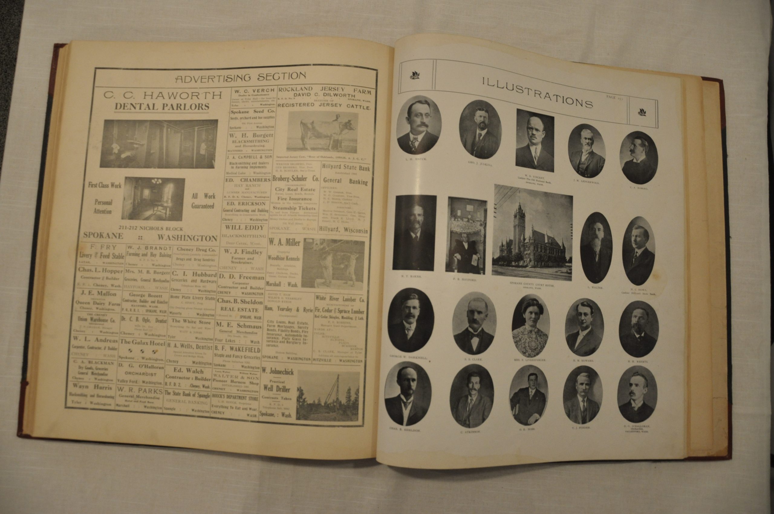
This atlas, published in 1912, shows the county at its zenith, prior to a period of stagnation that persists through much of the area today. There are over 110 maps, most of which are plat maps showing land ownership in townships. There is an extensive multi-sheet city plan of Spokane that shows the city’s rapid expansion in the first decades of the 20th century. Double page maps of Washington state, the United States, and the World are also included. The atlas also contains numerous portraits of patrons and subscribers, contemporary advertisements, and several supplements with detailed geographic and historical information.
An important cartographic record of growth in the Pacific Northwest, compiled and published by George Ogle in Chicago.
Map Details
Publication Date: 1912
Author: George Ogle
Sheet Width (in): 15.5
Sheet Height (in): 18
Condition: A-
Condition Description: The atlas is in very good to excellent condition. It has been professionally restored and rebound in red quarter leather, with original cover, endpapers and title page. Complete - 193 pages including 100 single page and sixteen double page maps, in addition to numerous photographs, portraits, views and advertisements. Minor soiling on the endpapers and faint toning to the pages from age.
$875.00