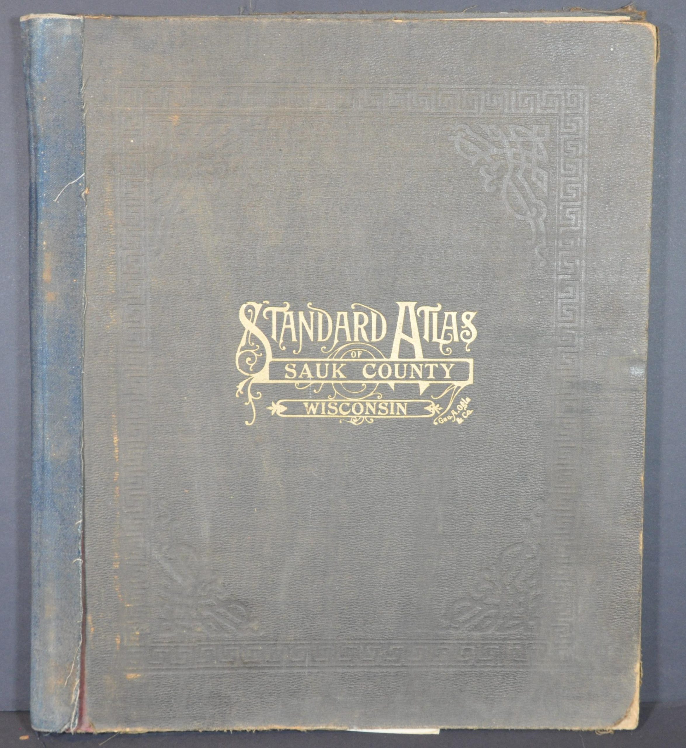
Standard Atlas of Sauk County Wisconsin
$350.00
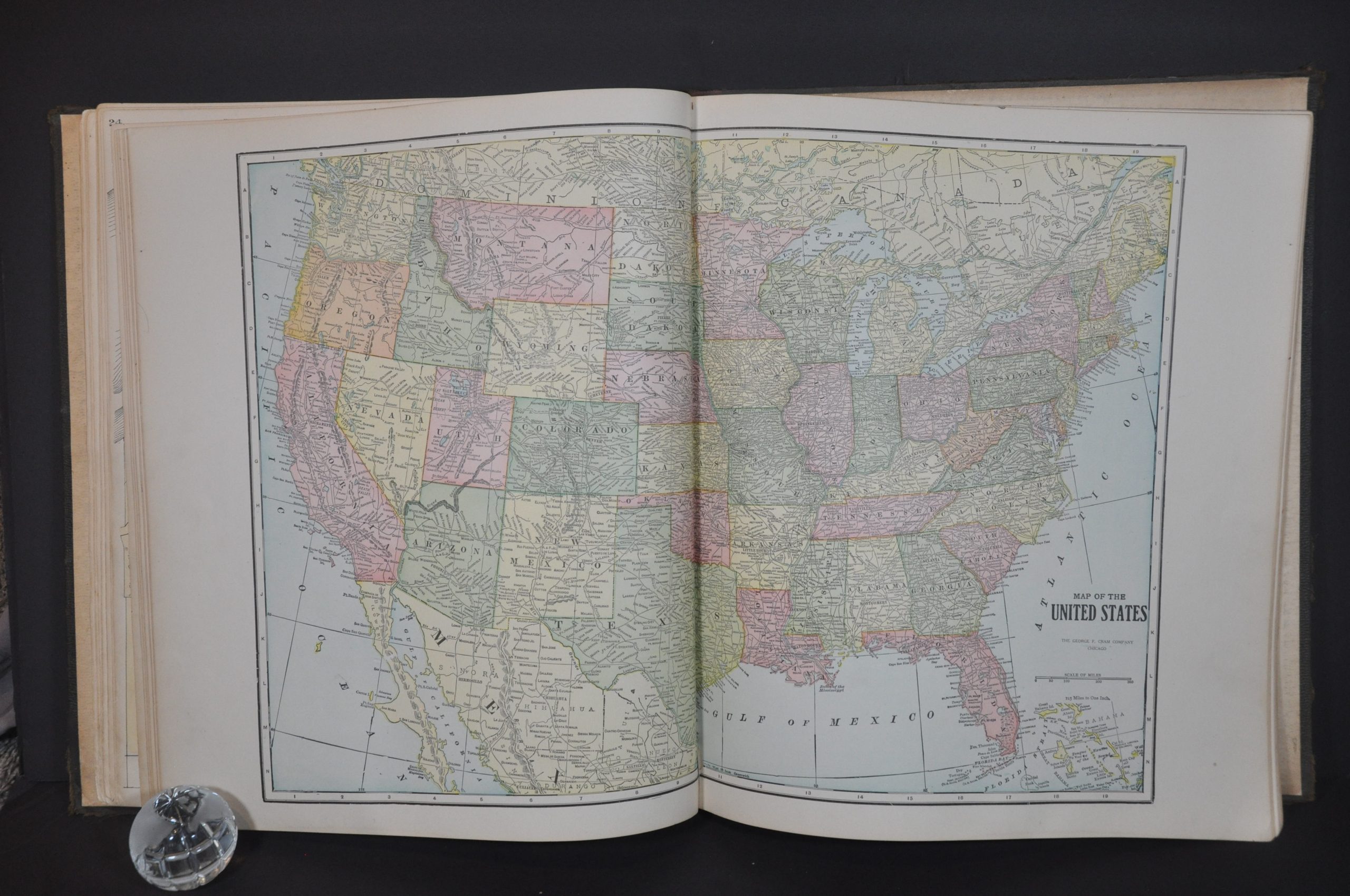
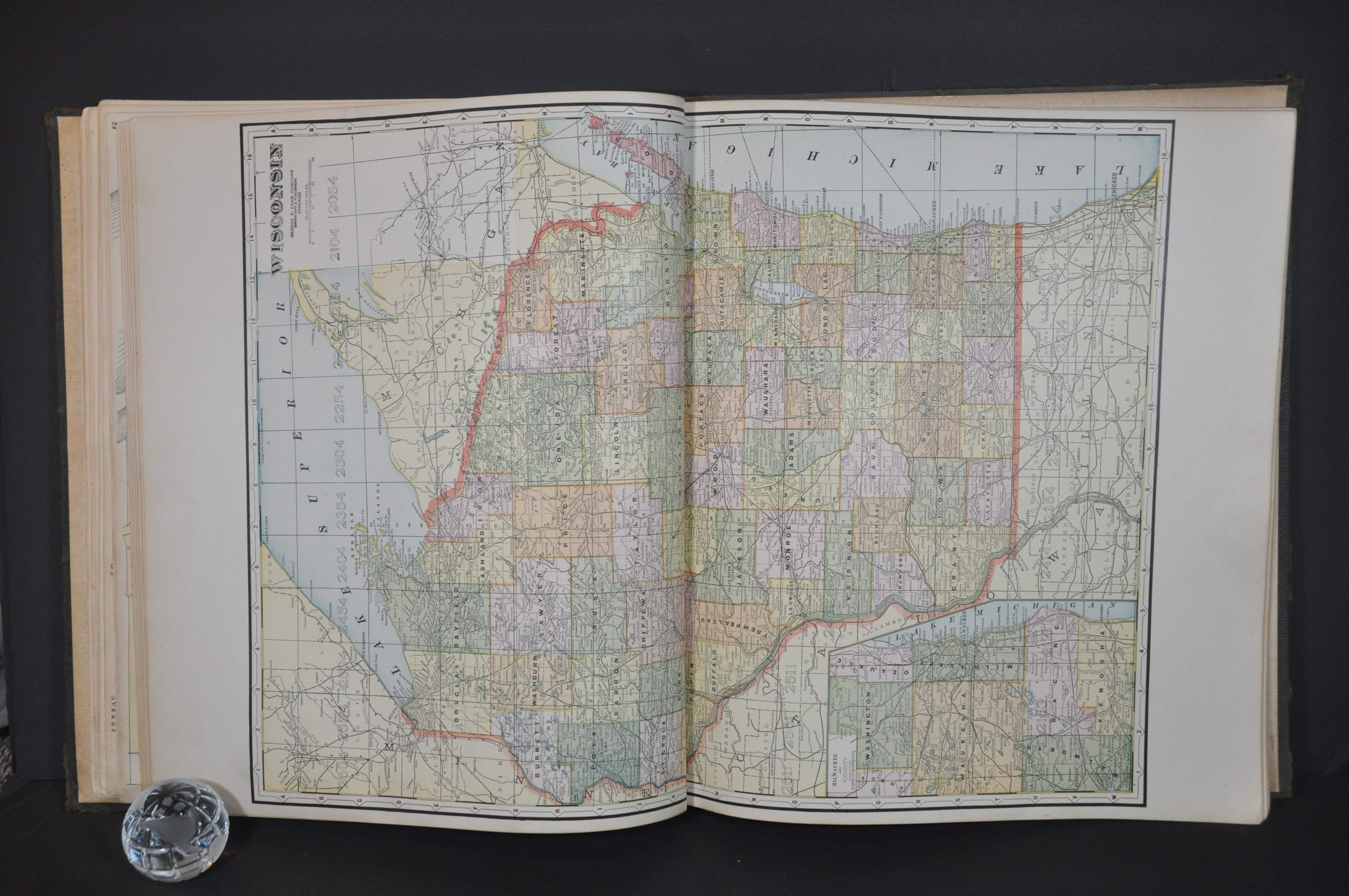
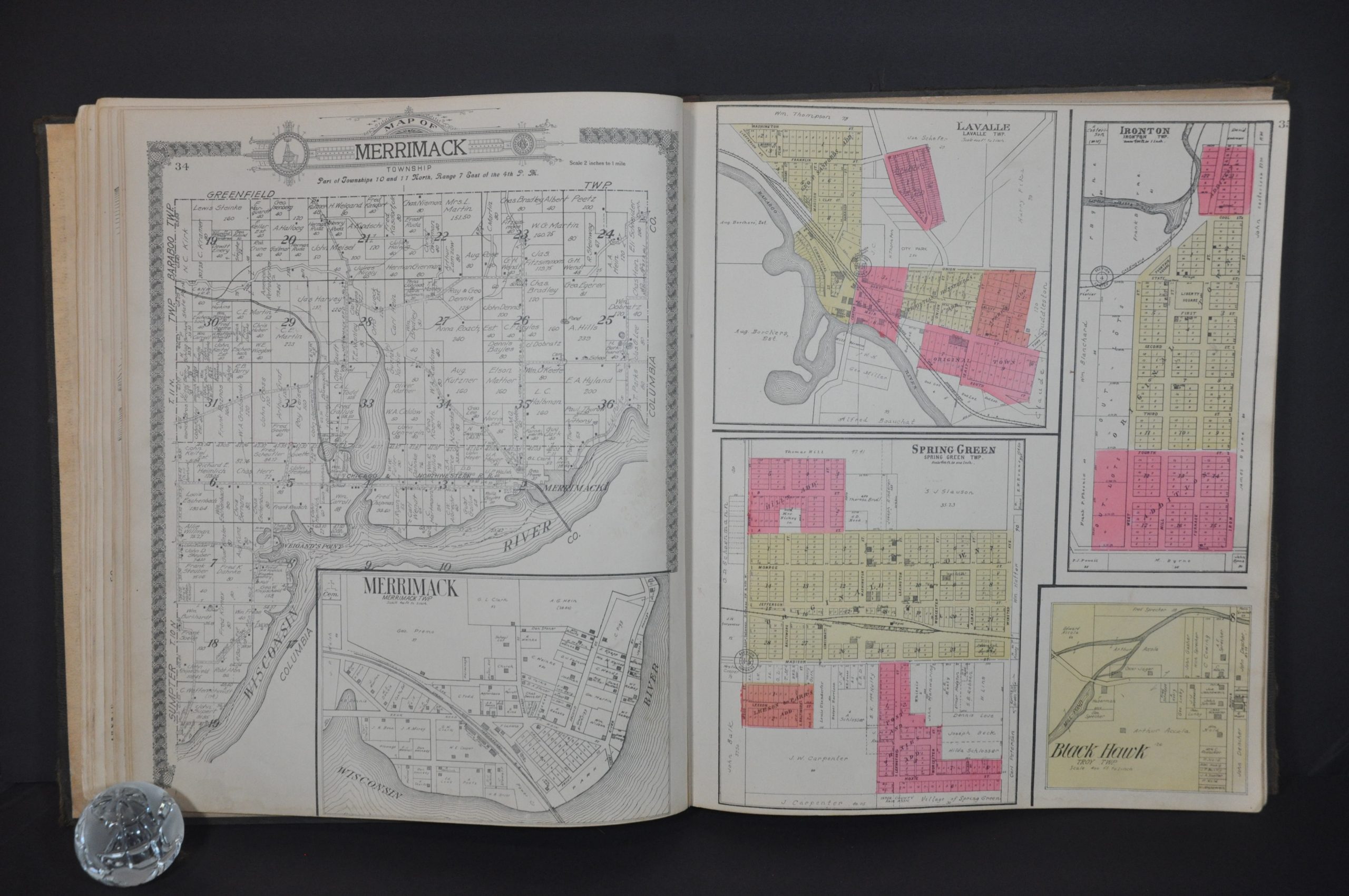
Detailed atlas of Sauk County, Wisconsin from 1922.
1 in stock
Description
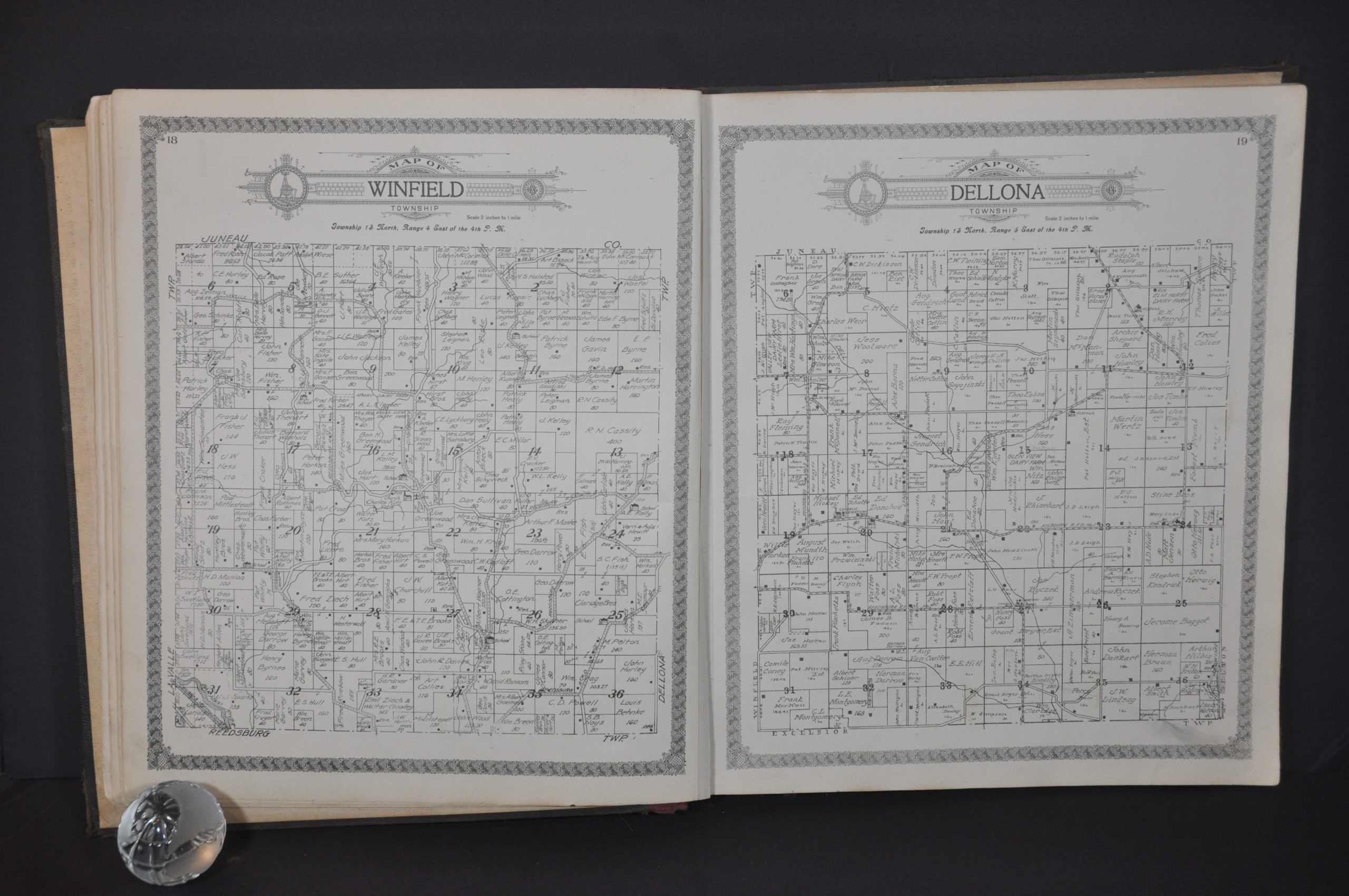
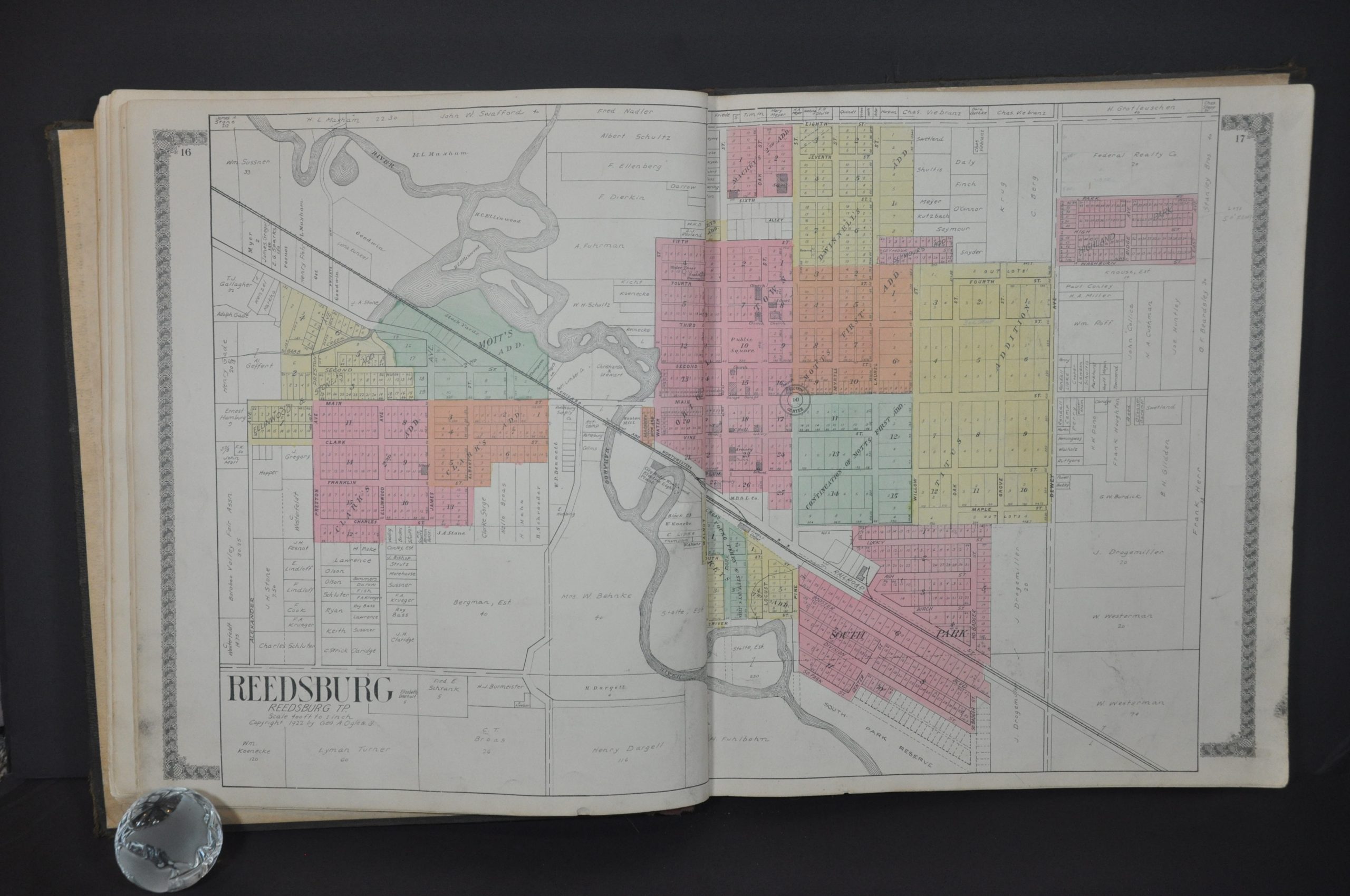
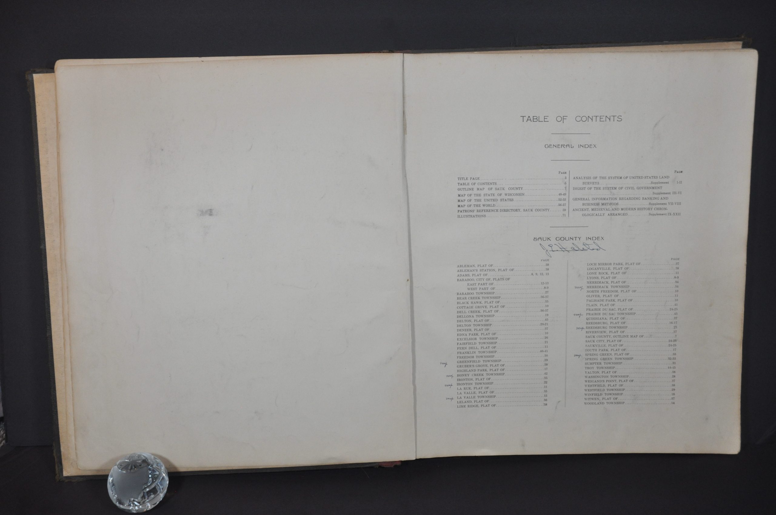
This informative atlas of Sauk County, Wisconsin was published in Chicago by George A. Ogle & Company in 1922. He was assisted in the work by E.M. Doll, the County Treasurer, and sold the atlas on a pre-order subscription basis in order to defray the significant upfront costs of production.
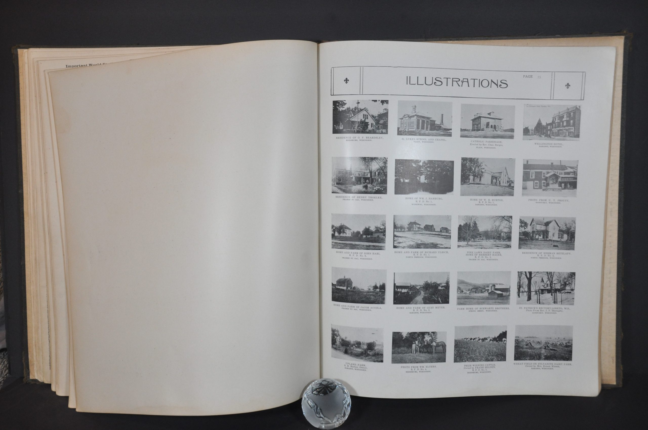
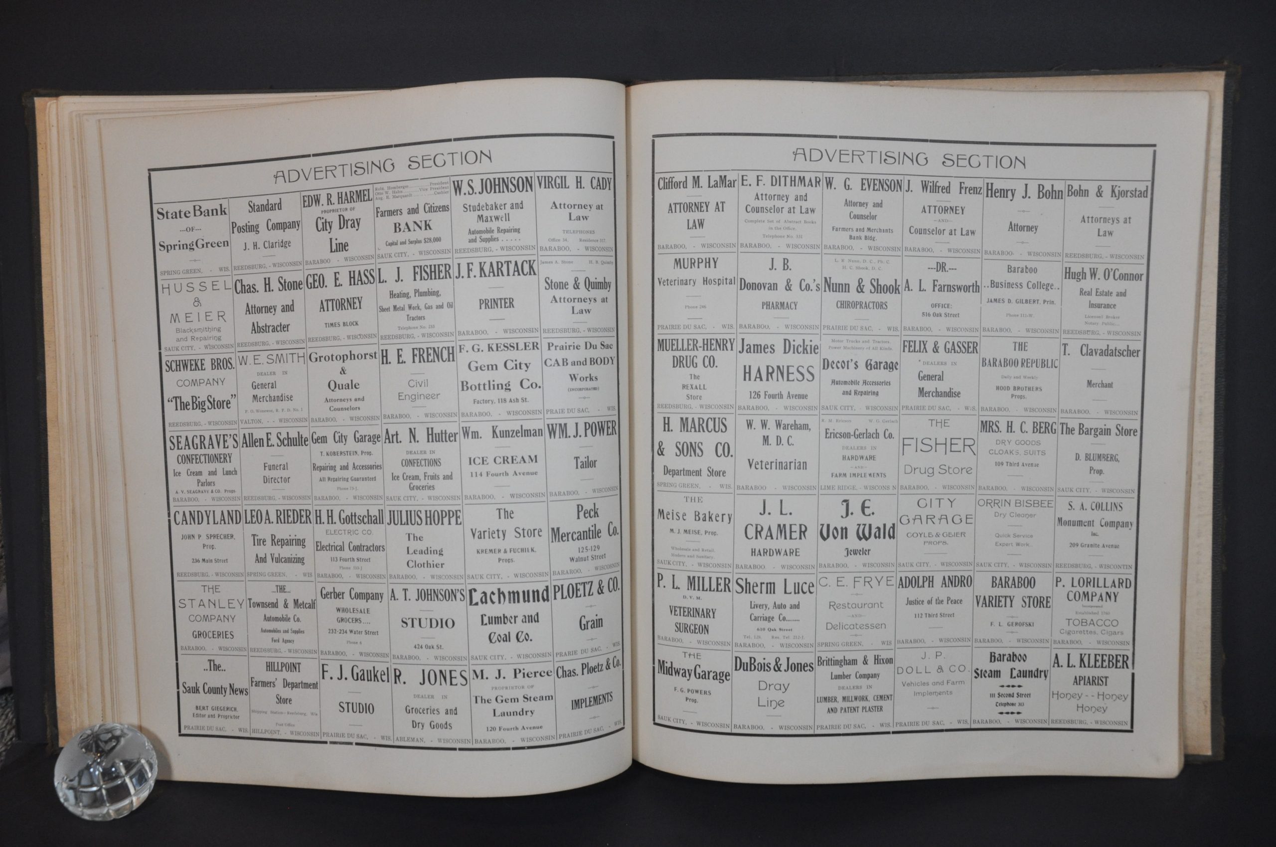
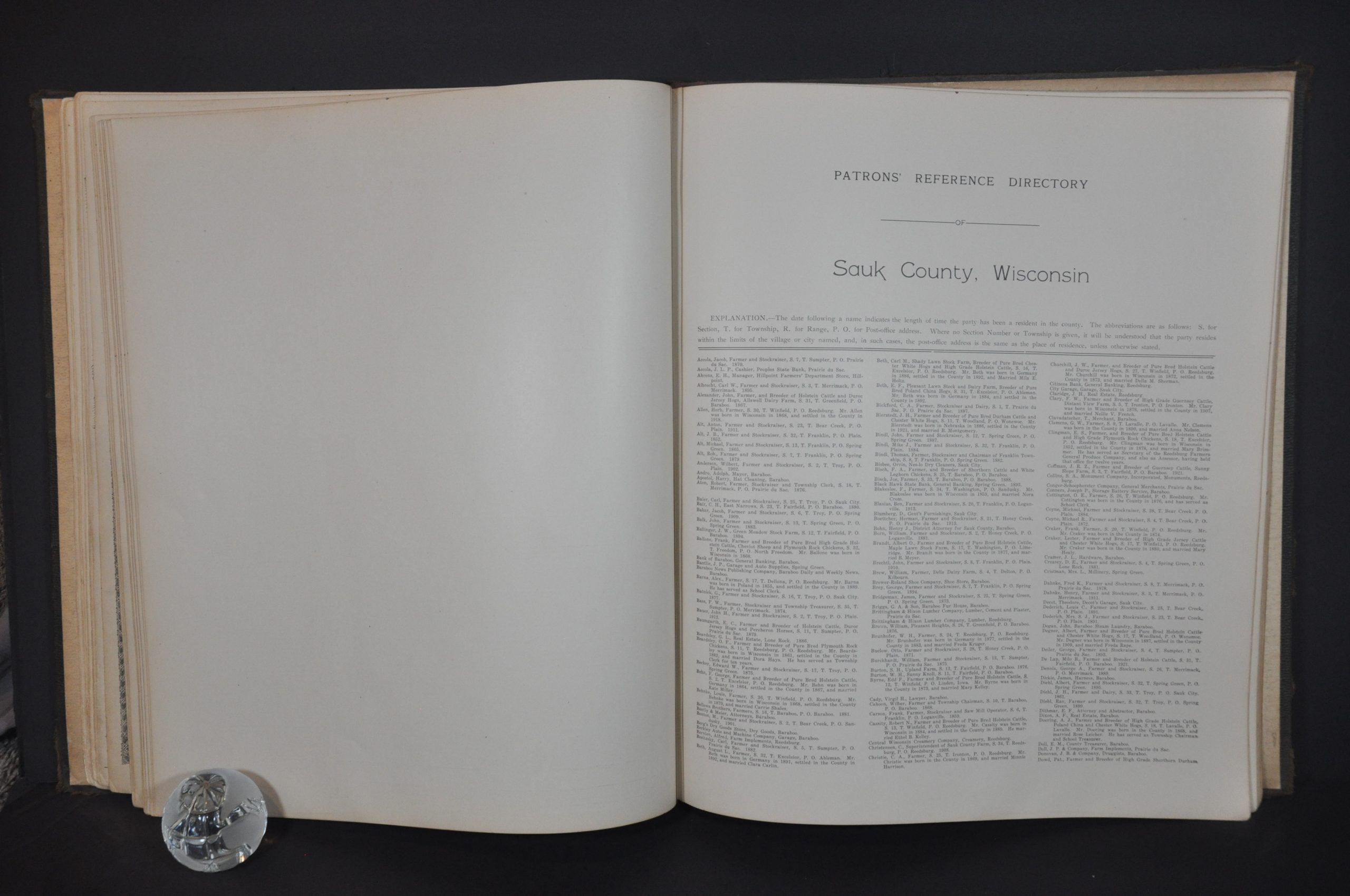
Residents and companies could pay an extra fee to include portraits, advertisements, or views of homes and businesses. The atlas includes a patron’s reference directory, advertising section, and collection of illustrations that represent these supporters, offering a unique window into the county’s inhabitants over a century ago.
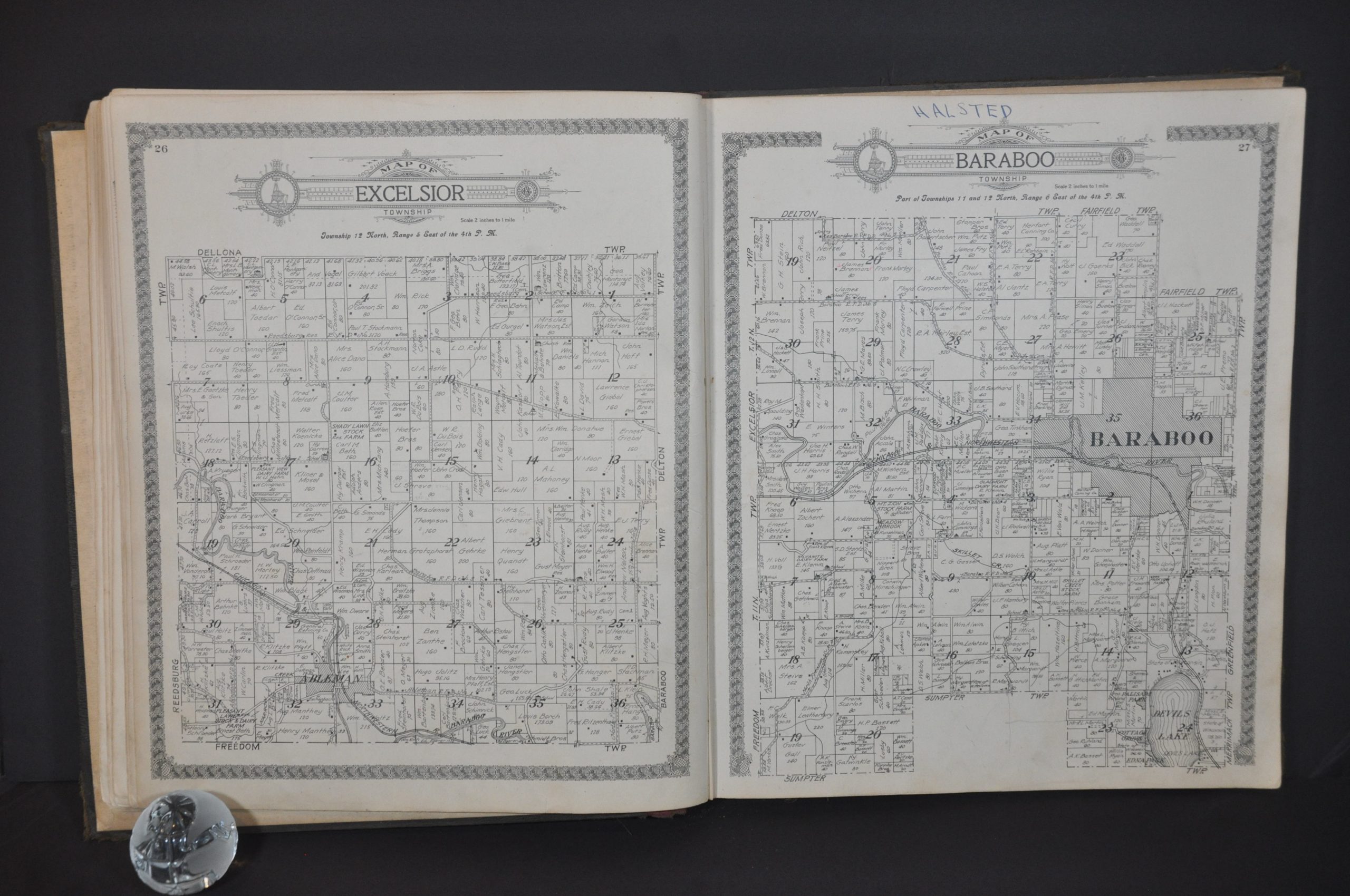
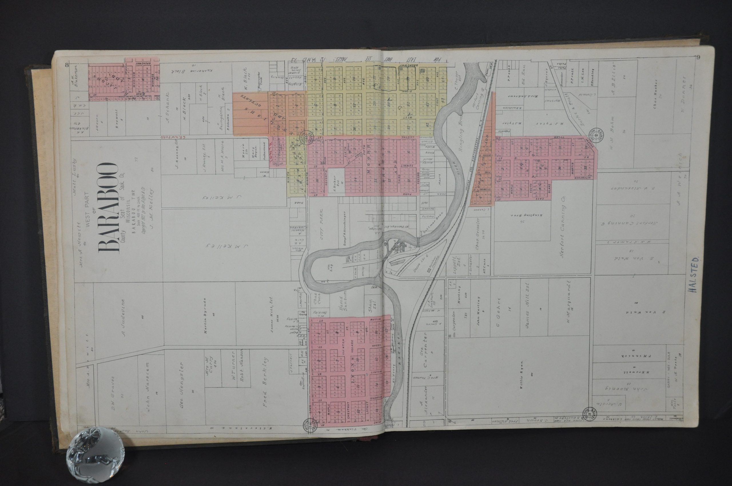
The atlas obviously also includes maps. In addition to double-page maps of the county, Wisconsin, United States, and world, it presents plans for each village, city, and township. These show local landowners, important buildings, transportation routes, geographic features, and other contemporary items of interest. Of note is the Ringling Brothers Winter Quarters outlined along the shore of the Baraboo River.
Map Details
Publication Date: 1922
Author: George A. Ogle
Sheet Width (in): 15
Sheet Height (in): 17.5
Condition: B+
Condition Description: Bound in original full brown leather with gilt embossed title. Spine and hinges are broken and show old amateurish repairs that are beginning to wear and loosen. Old owner's (James E. Halsted) annotations throughout show signs of personalized use, particularly around Baraboo. Contents range from good to very good, with scattered soiling and edge wear visible on a handful of sheets.
$350.00
1 in stock

