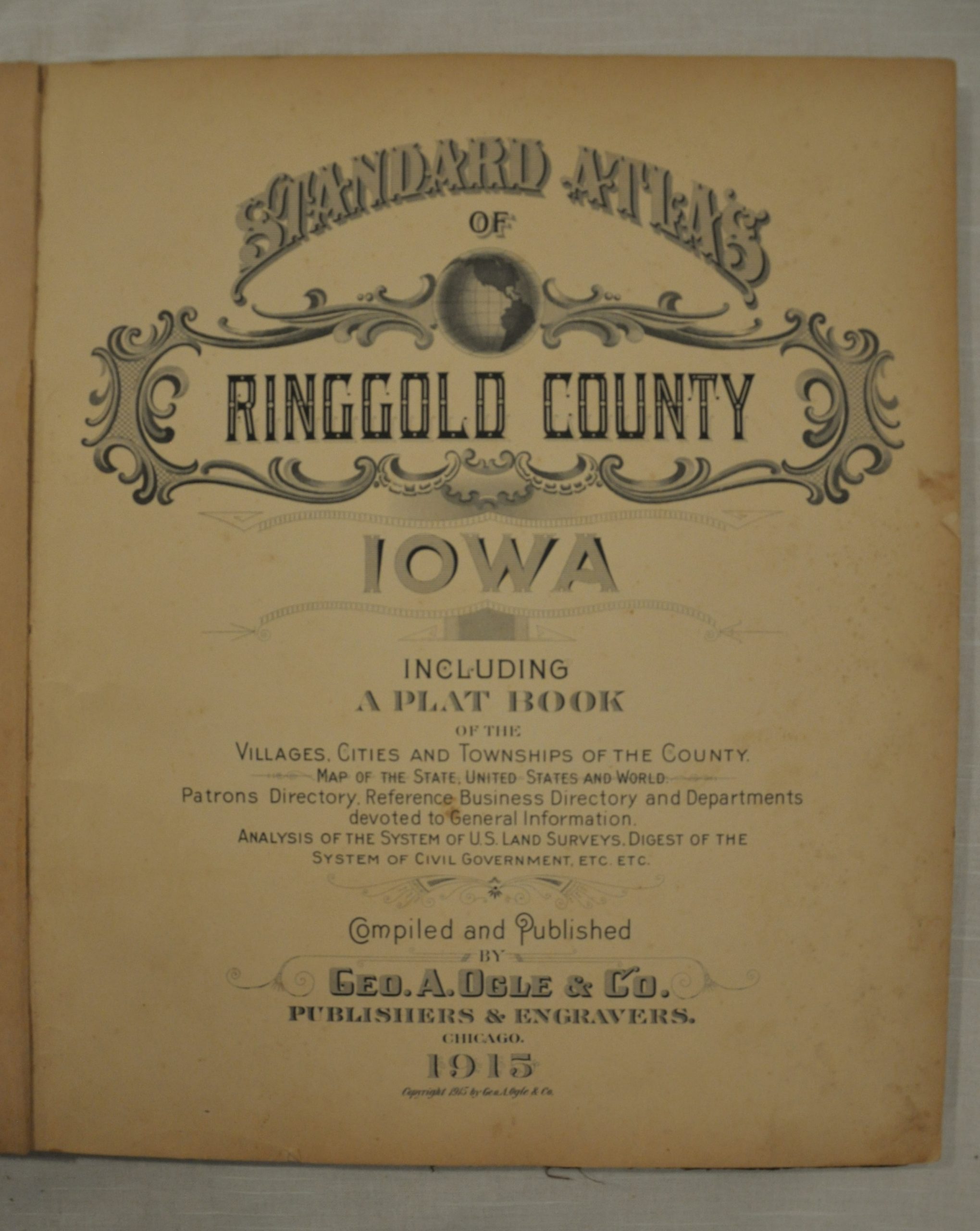
Standard Atlas of Ringgold County, Iowa
$125.00
Plat book of Ringgold County, Iowa, issued by the firm of George A. Ogle.


Description
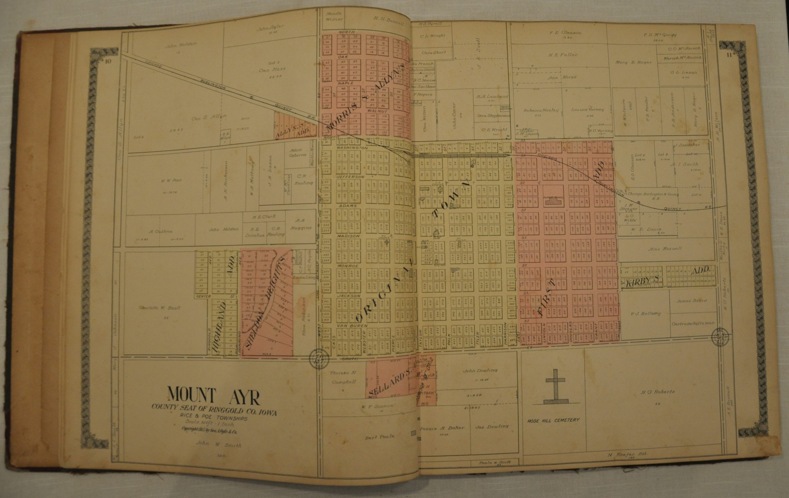
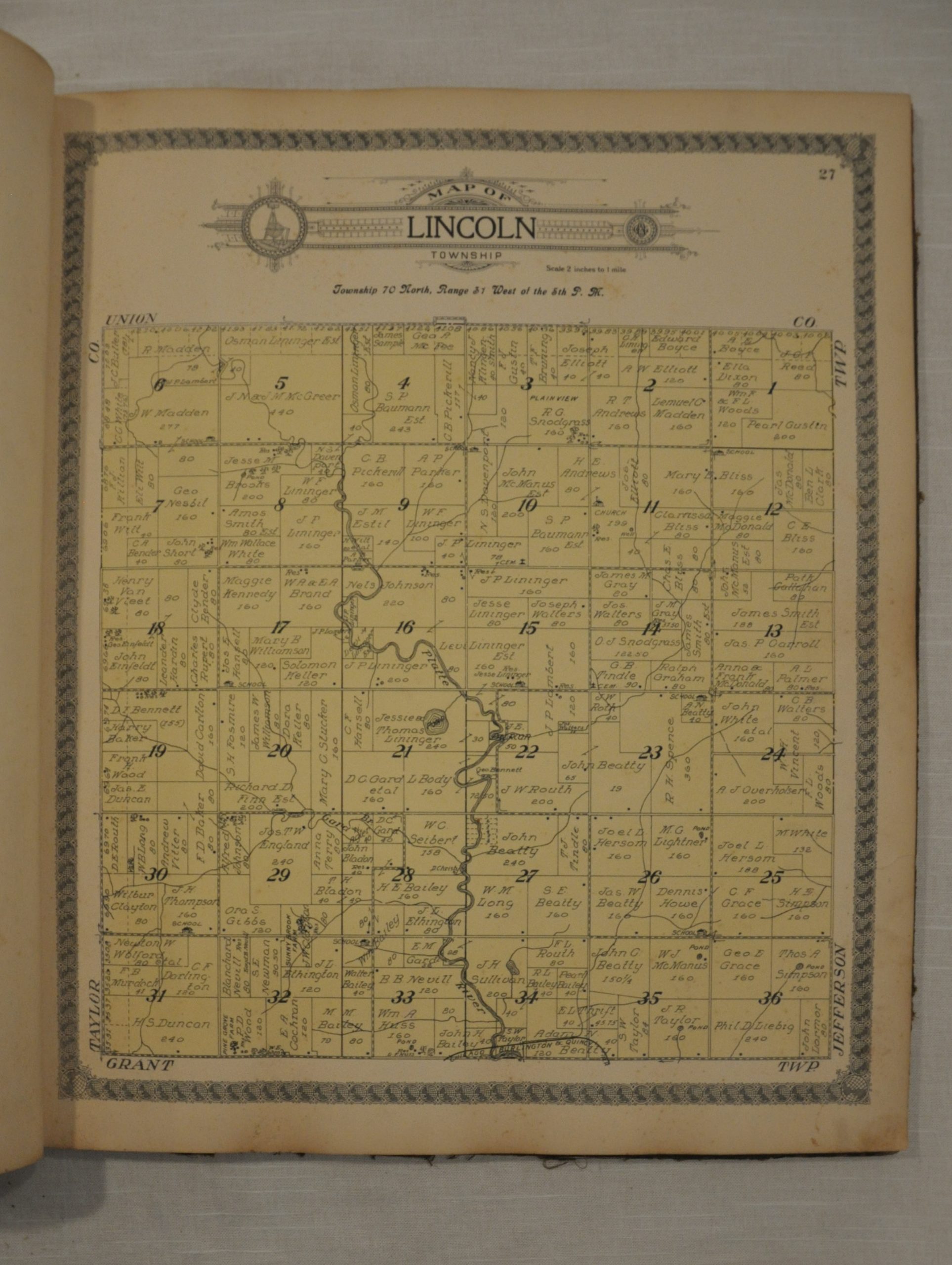
Even in sparsely populated rural counties like Ringgold in Iowa, subscription based county atlases were an economic viability for the experienced publishing firm of George A. Ogle. Identifiable by the distinctive globular border, Ogle’s maps were often the most detailed available for certain areas throughout the Midwest.
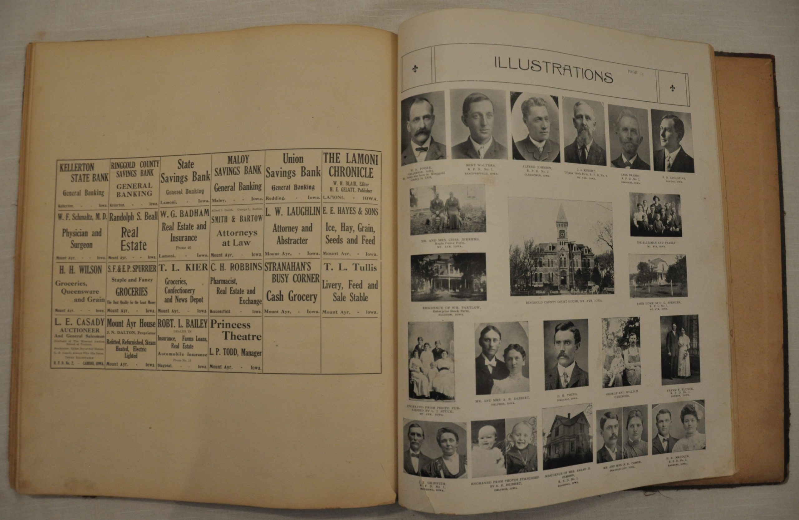
Rather than print atlases in the hopes they will sell, Ogle followed in the footsteps of other atlas publishers by issuing his volumes on a subscription basis. After securing orders for advance copies and advertising within the covers of the atlas, production could then begin. The resulting atlas would often be the most expensive book a family owned, and likely occupied a point of pride on the mantle.
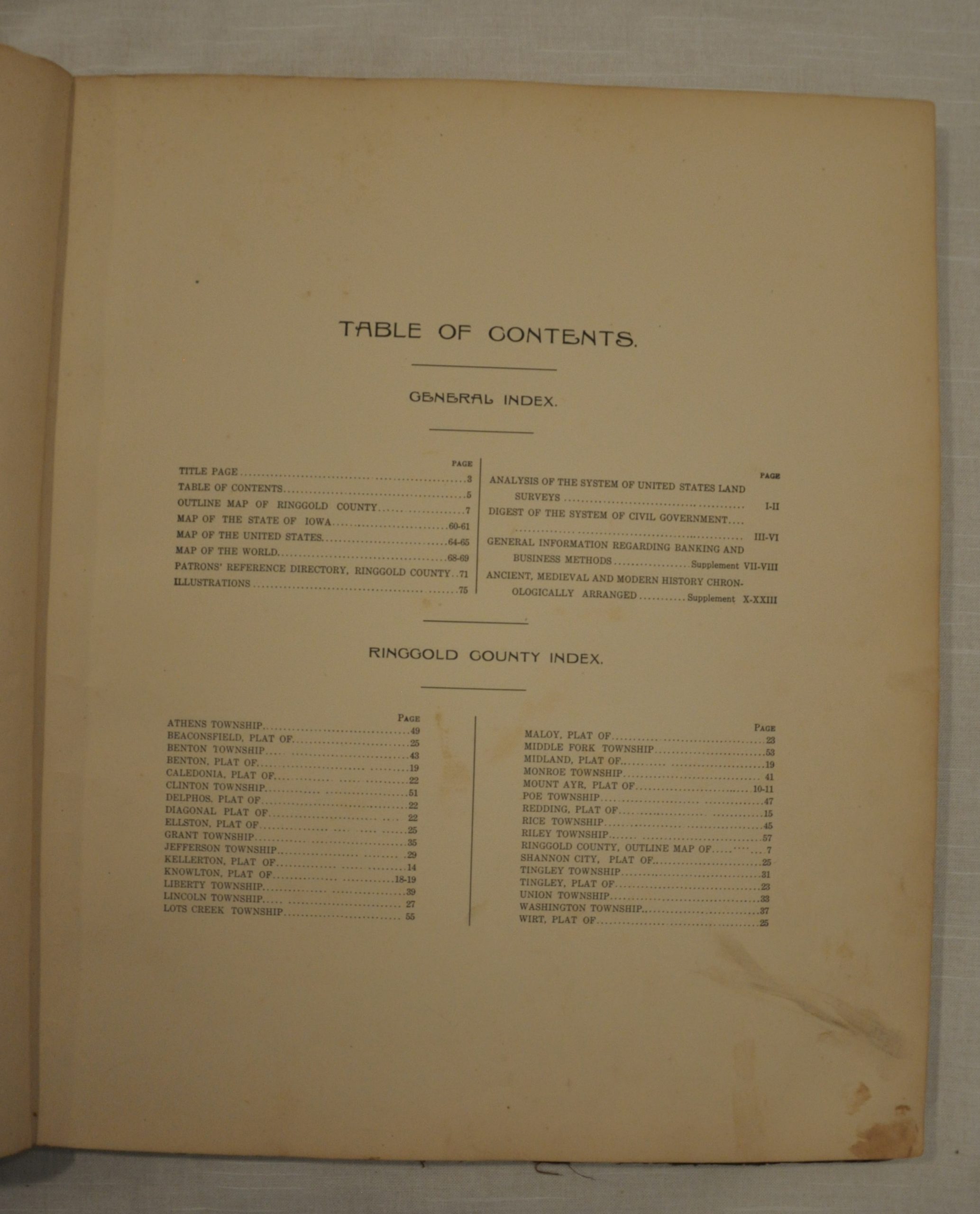
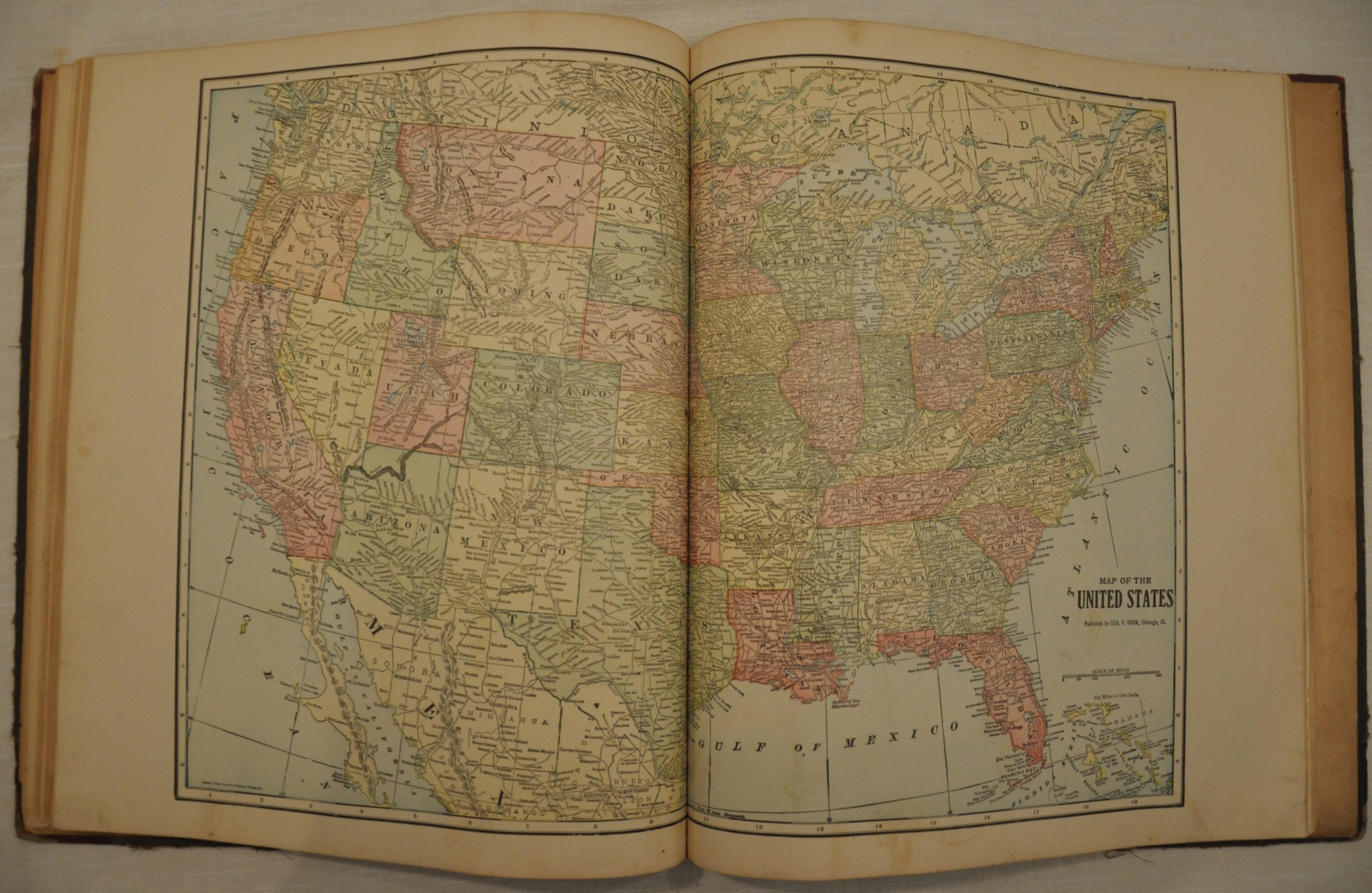
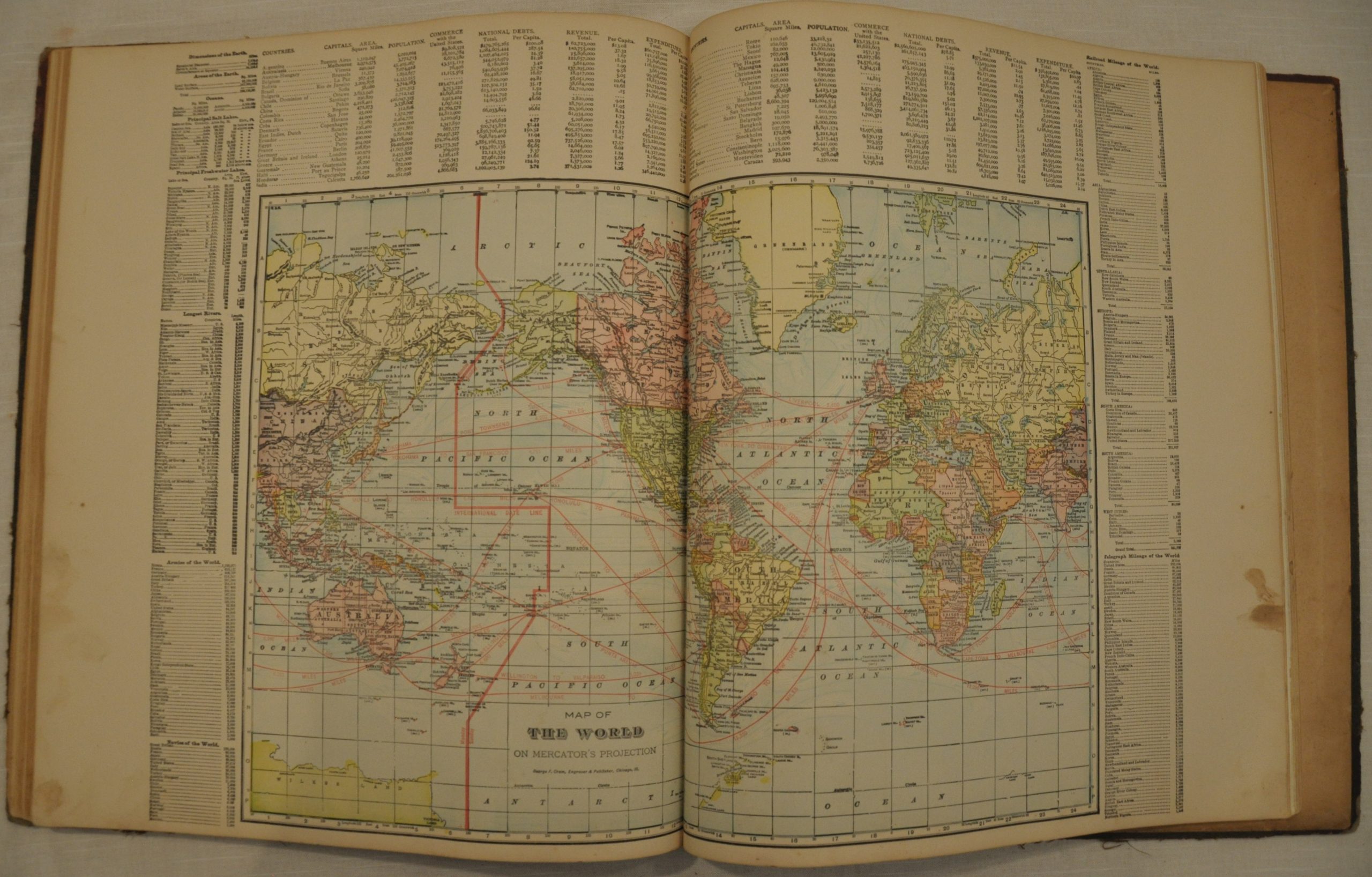
The maps show land ownership in towns, villages and townships throughout the county. In addition to having one’s last name listed as an owner, local residents could also pay to have their photograph included, many of which can be seen in the section devoted to illustrations. The atlas also includes double page maps of Iowa, the United States, and the world.
Map Details
Publication Date: 1915
Author: George Ogle
Sheet Width (in): 15
Sheet Height (in): 17.5
Condition: B
Condition Description: The atlas is complete, but the original cloth boards are separated and exhibit significant wear and rubbing. The title page is moderately soiled, but the remaining pages are largely clean and intact. What discoloration or soiling does exist is confined largely to the margins. The atlas includes 29 maps, 5 of which are double page, and 37 pages of text focused on land surveys, civil government, history and patron illustrations.
$125.00