Standard Atlas of Montgomery County, Indiana
$150.00
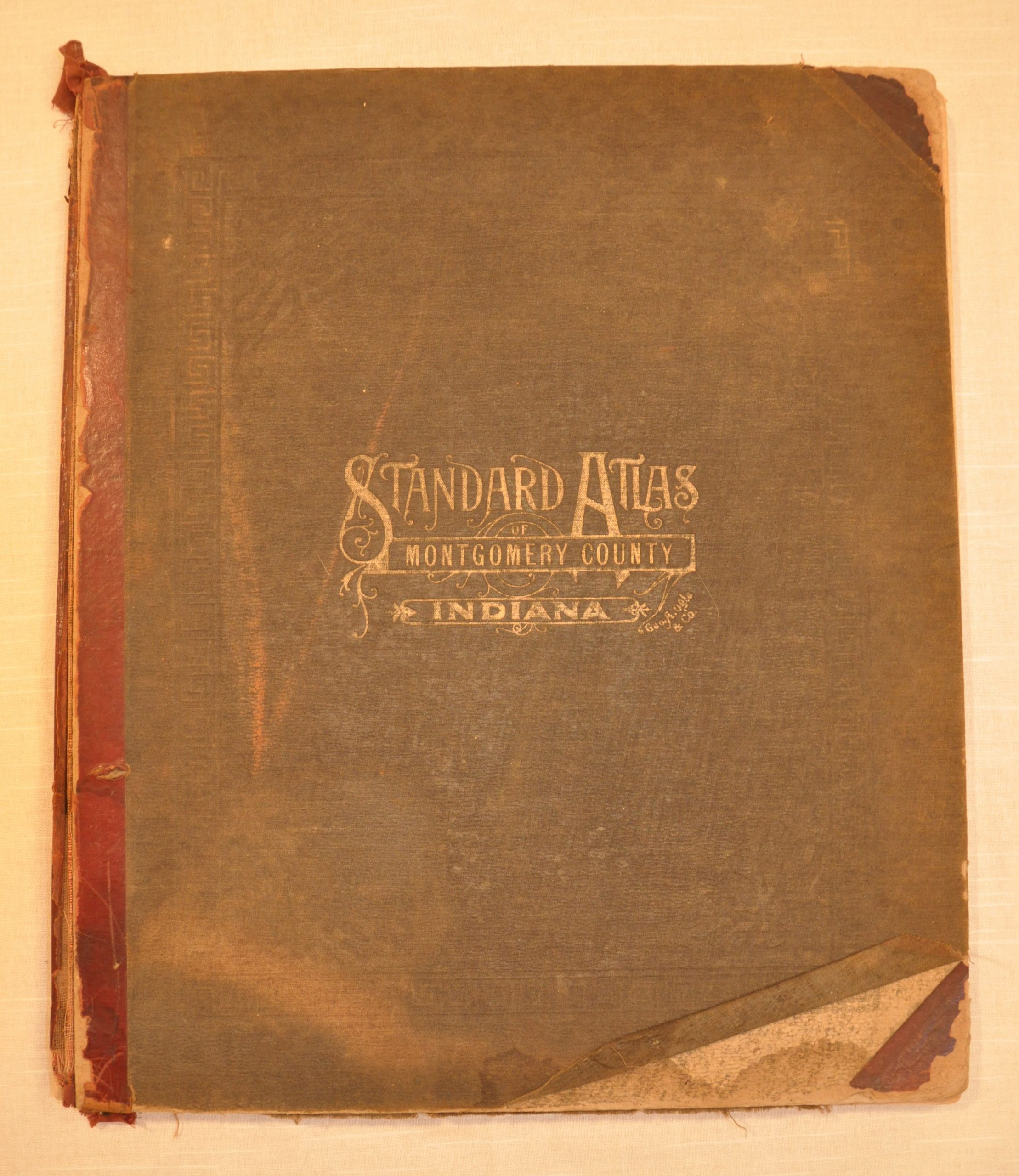
George Ogle’s 1917 atlas of Montgomery County, Indiana.
Description
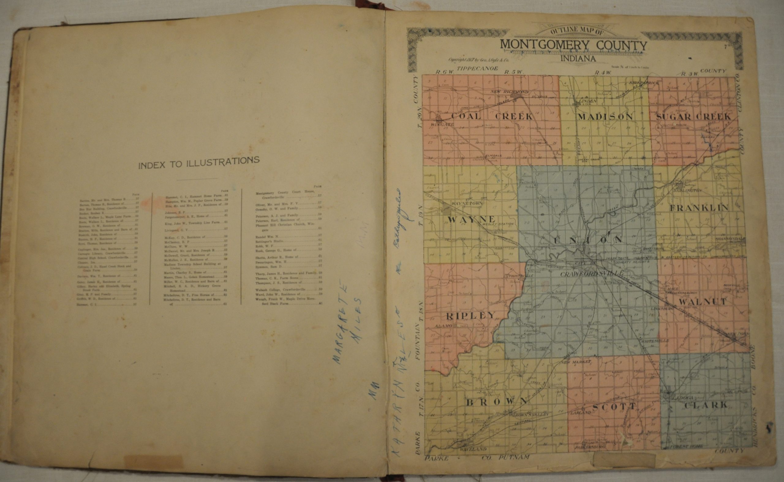
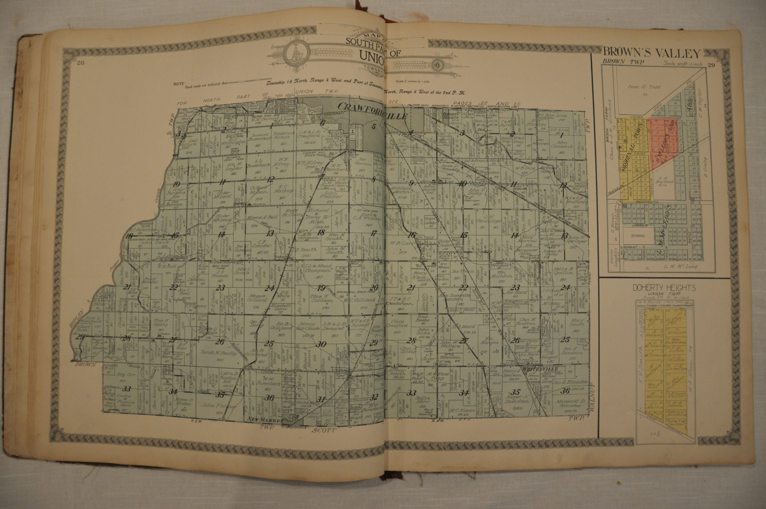
Apart from the county, state, country and world maps included in this atlas, the cartographic emphasis is on land ownership throughout Montgomery County, Indiana. Individual plots are outlined and labeled with the name of their owner, and often with their size in acres. Towns, villages, and townships are shown on varying scales, but all sheets show the outlines of prominent buildings, transportation routes, and notable geographic features. The maps are ringed with a decorative globe border, the hallmark of publisher George Ogle.
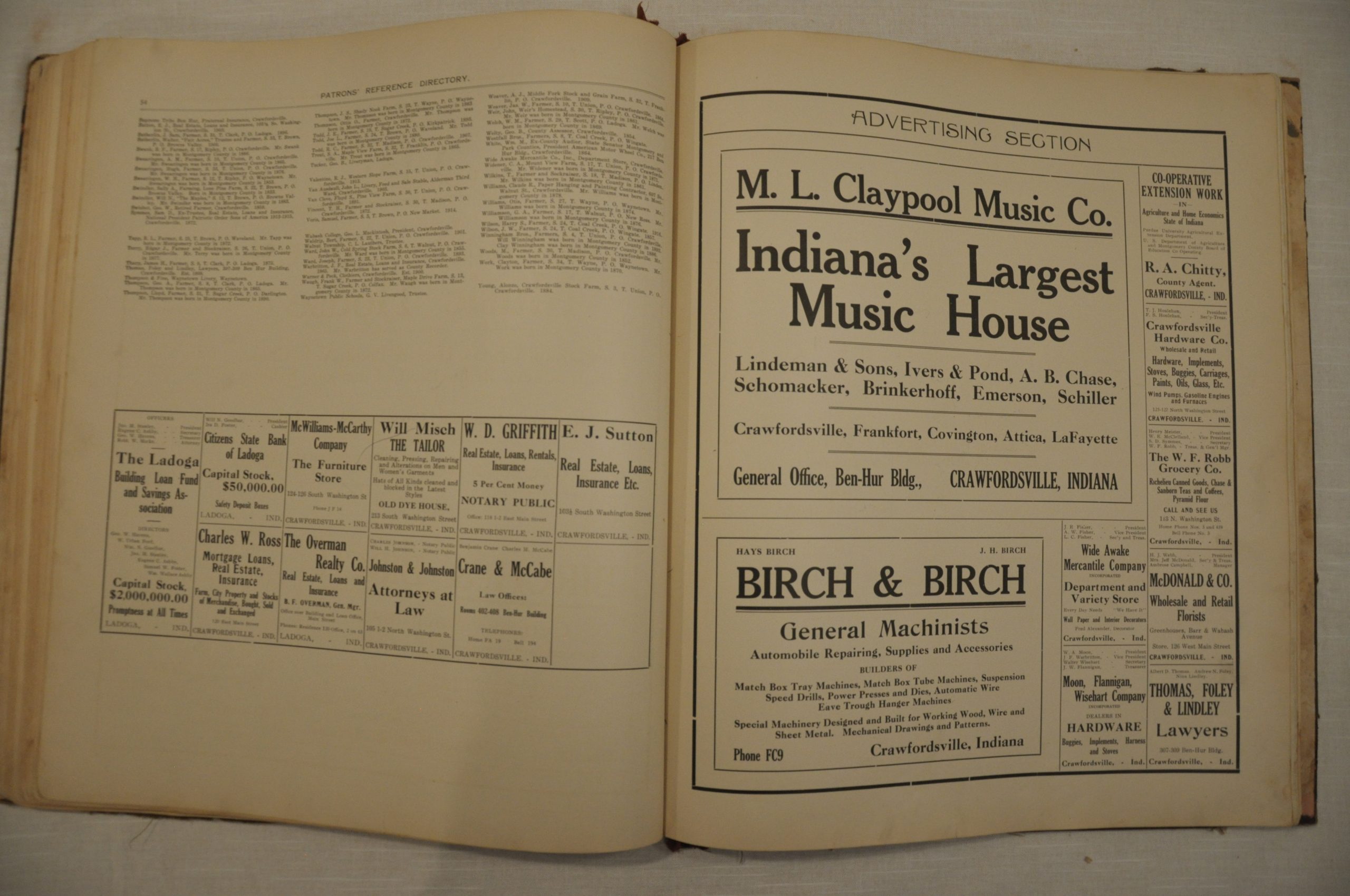
He compiled, engraved and published numerous county atlases of areas across the Midwest from his Chicago publishing headquarters from the 1880’s into the early 1920’s. The atlases were normally issued on a subscription basis, and patrons who purchased advanced copies or paid for the option were able to have portraits, biographies or photographs included in the publication. Information on these subscribers can be found in the Patron’s Reference Directory, Advertising Section, and Illustrations featured in Ogle’s atlases (including this example). Often an interesting and overlooked source of genealogical information!
Map Details
Publication Date: 1917
Author: George Ogle
Sheet Width (in): 15
Sheet Height (in): 17.5
Condition: B+
Condition Description: Complete, with 36 pages of text and 37 maps, 7 of which are double page. Original cloth boards are very loose, but remain attached. Rubbed at the corners with a tattered spine. Contents are in generally good condition. The outline map of Montgomery County has old ink writing and is tattered around the edges, and the city plan of Crawfordsville has a 4" tear with no image loss. Otherwise the maps are in good shape, with only minor soiling and discoloration from wear.
$150.00


