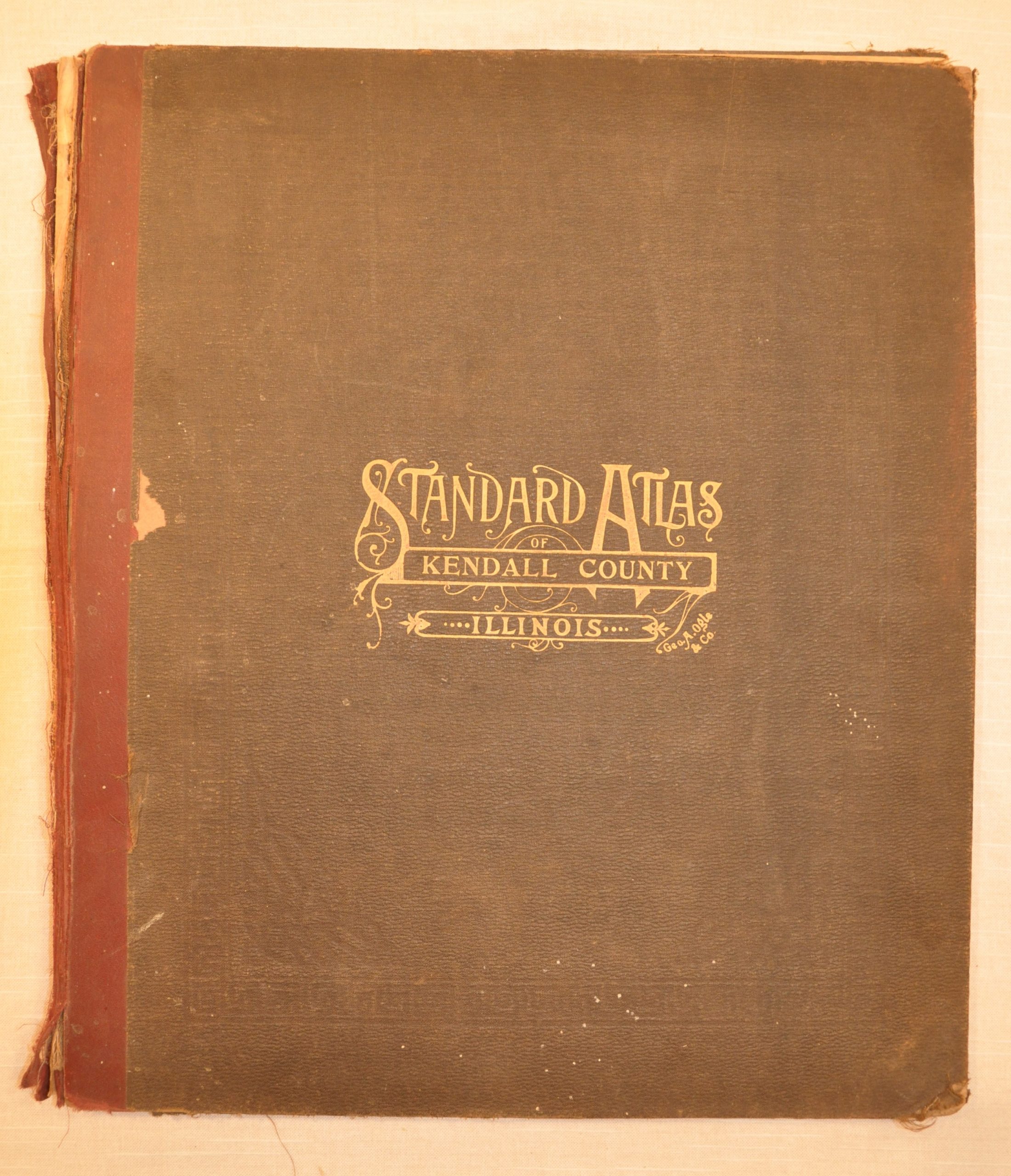
Standard Atlas of Kendall County, Illinois
An atlas of Kendall County, Illinois published late in the career of George A. Ogle.
Out of stock


Description
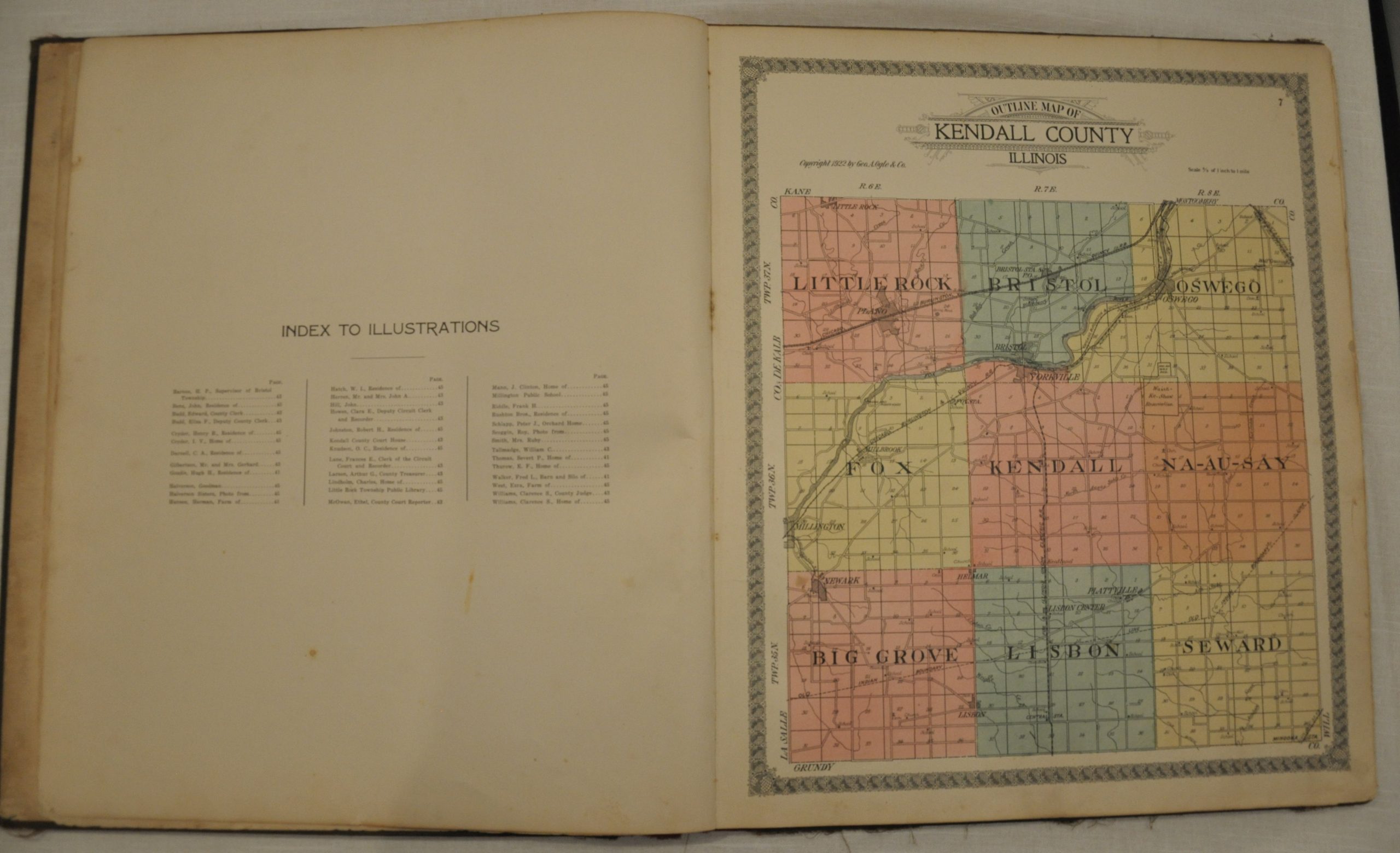
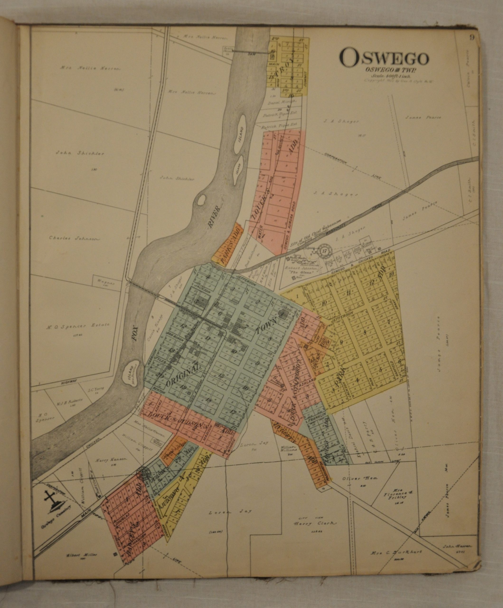
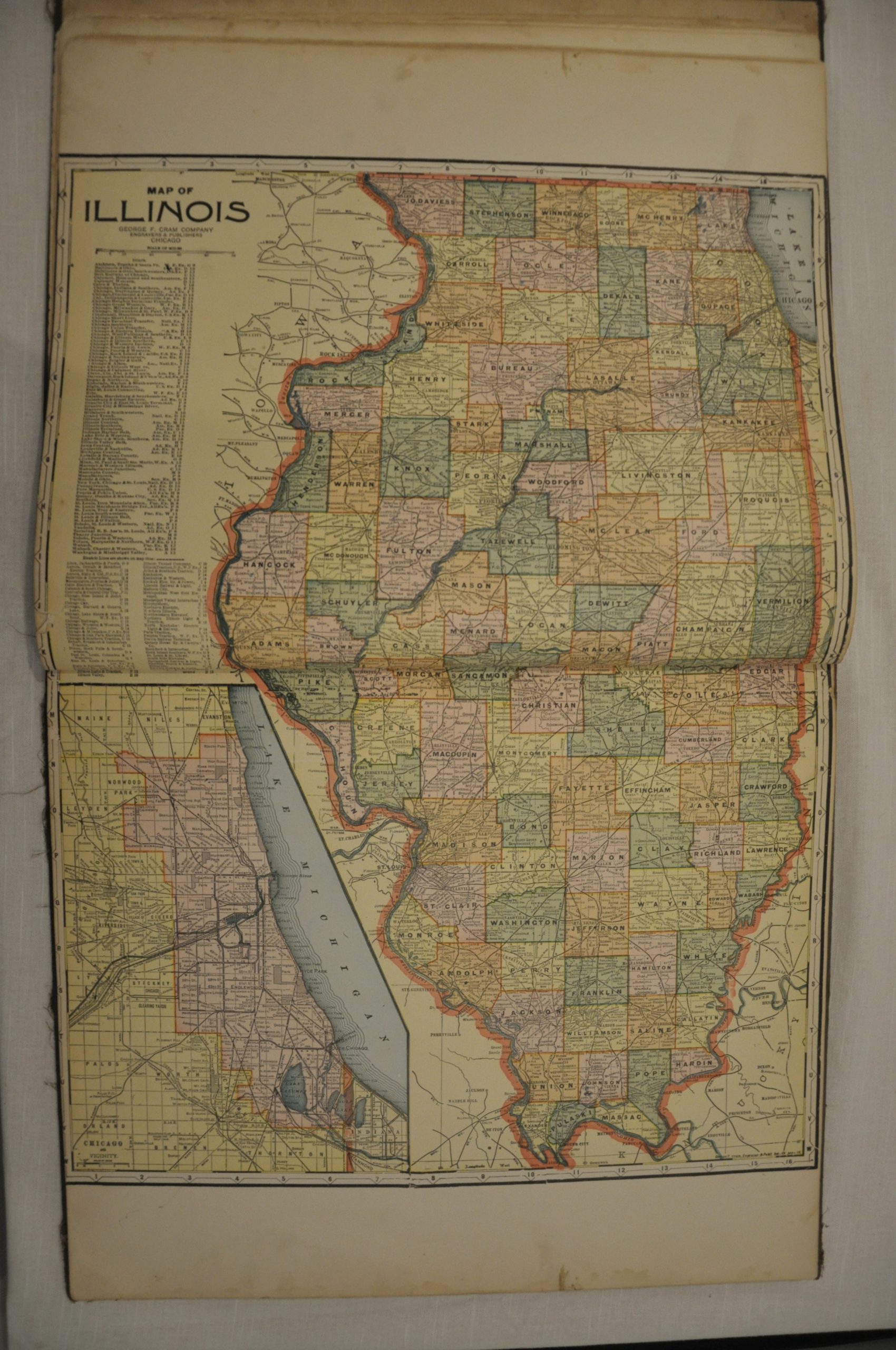
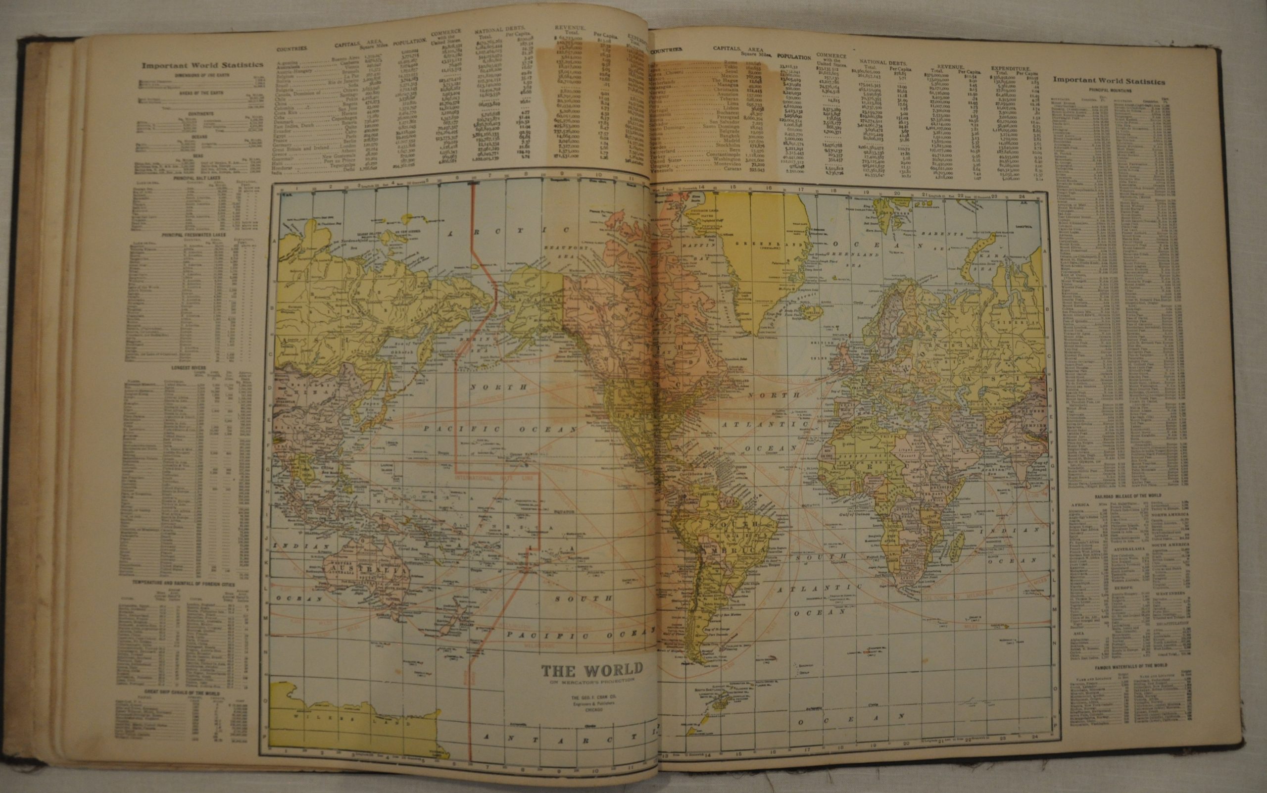
This is a 1922 atlas of Kendall County, Illinois, which is situated about 50 miles southeast of Chicago. The atlas includes plat maps showing land ownership in towns and townships throughout the county. Boundary lines are marked and often measured, with names of property owners included in each plot. In addition are double page maps of Illinois, the United States, and the world.
The patron’s directory and illustrations are related to those individuals who purchased advance copies of the atlas, or paid a certain amount in exchange for photographs, a biography, etc. George Ogle was a major publisher of these subscription based atlases, and he issued numerous volumes focused largely on areas throughout the Midwest. From his headquarters in Chicago, Ogle would have experienced major changes in publishing technology and consumer preferences over his 40 year career, and his ability to maintain relevancy is a testament to his entrepreneurial spirit. His last atlas was issued in 1923.
Map Details
Publication Date: 1922
Author: George Ogle
Sheet Width (in): 15
Sheet Height (in): 17.5
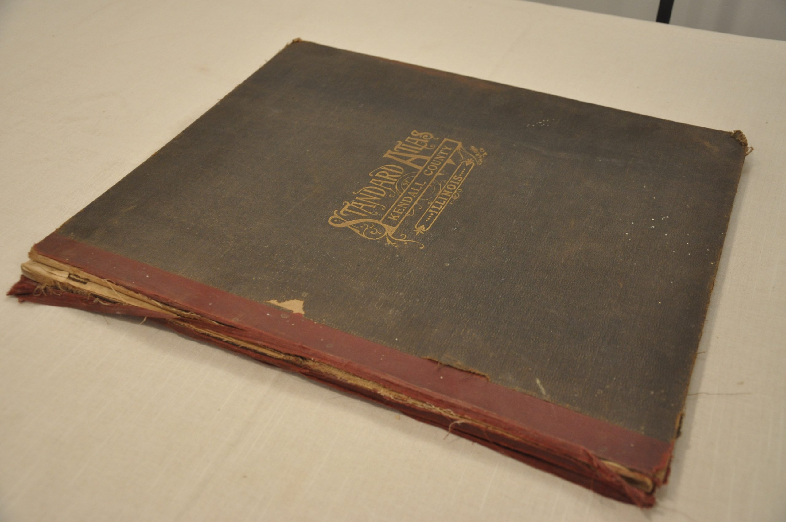
Condition: B-
Condition Description: The atlas is complete - 55 pages with 14 single page and 5 double page maps. A few maps are loose, as are the original boards. Overall, the sheets are in good shape, with normal wear and tear along the outer edges. Several maps exhibit moderate soiling and spotting, confined largely to the margins. Significant browning in the center of the world map, but otherwise the maps are clean and in good shape.
Out of stock