St. Thomas
$75.00
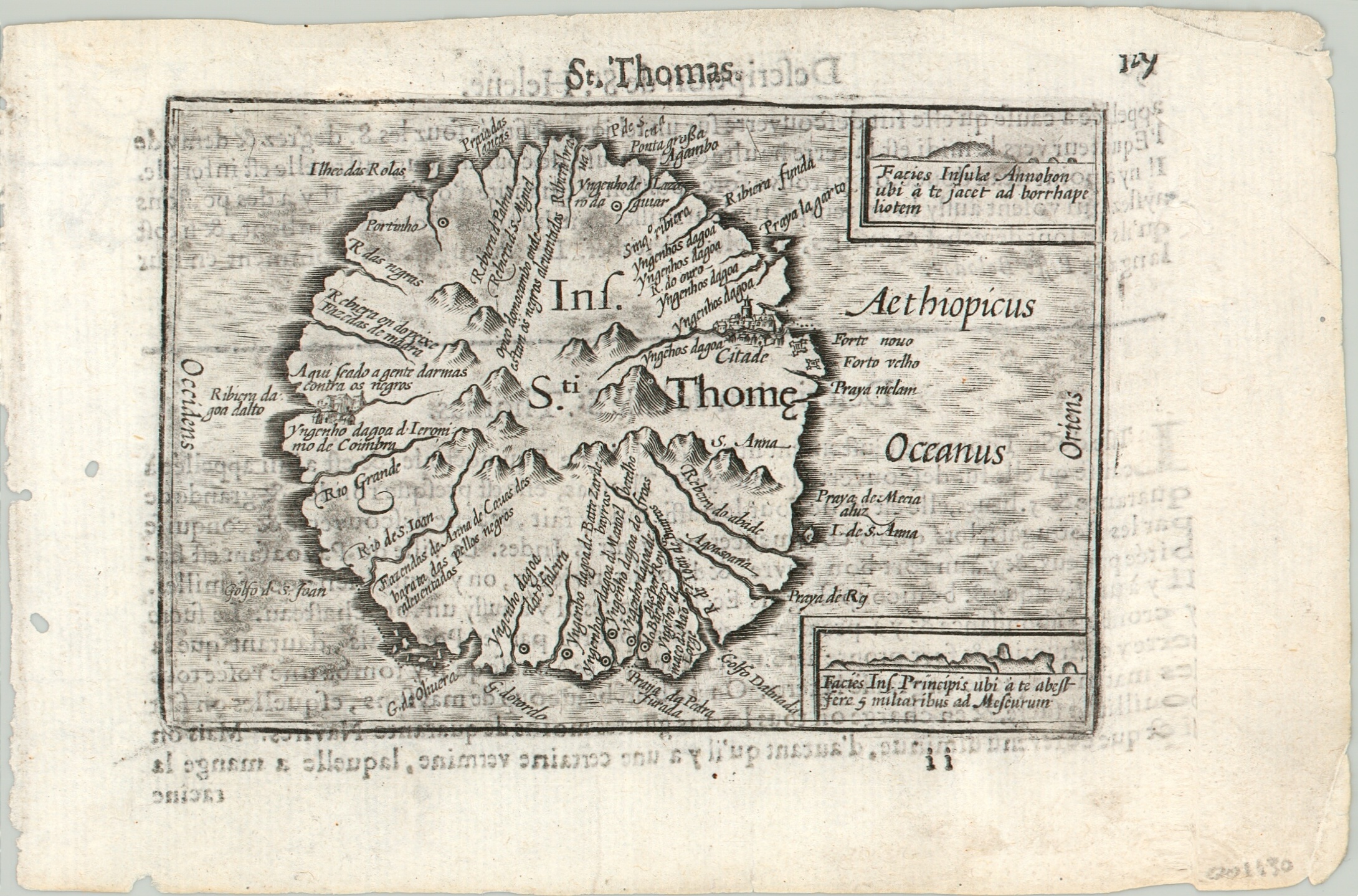
Miniature map of the island of Sao Tome in the Atlantic Ocean.
1 in stock
Description
Settled by the Portuguese in the late 15th century, the island of Sao Tome (Saint Thomas) played an important role in the exploration of the African continent and the trans-Atlantic slave trade.
This map shows simplified topographic details and includes two insets which show profile views from adjacent islands – helpful inclusions for maritime navigators, even though the map wasn’t necessarily published for use at sea.
This particular example was included in a French edition of the Caert-Thresoor. This miniature atlas was first published by Barent Langenes in 1598 and would ultimately be printed at least twelve times in Dutch, French, German, and Latin editions. French text on verso.
Map Details
Publication Date: c. 1602
Author: Barent Langenes
Sheet Width (in): 6.9
Sheet Height (in): 4.75
Condition: B
Condition Description: Faint soiling and a few wormholes visible in the margins. Creasing in the corners. Some text on verso shows through. A bold impression on a professionally cleaned sheet.
$75.00
1 in stock

