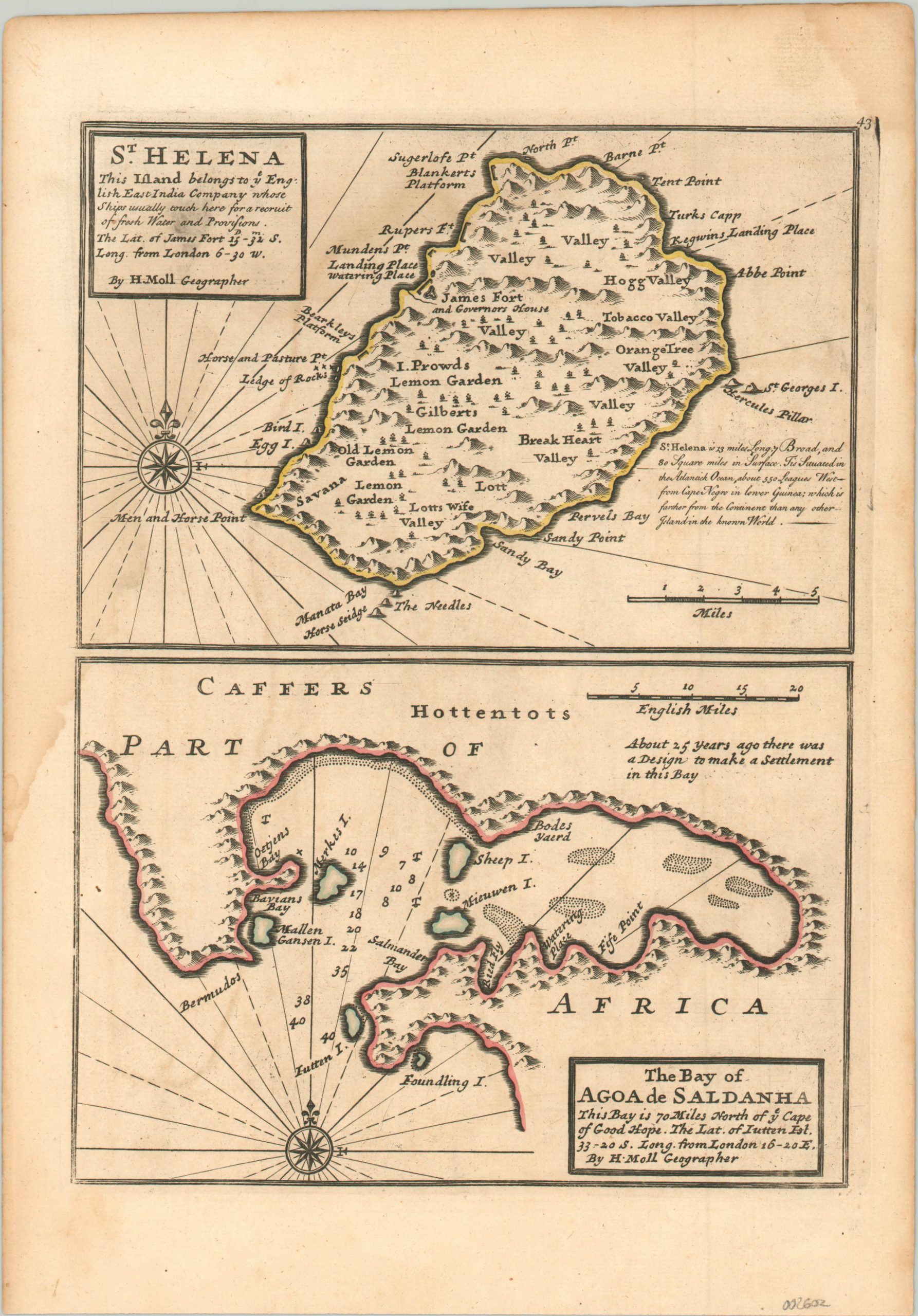
St. Helena [and] The Bay of Agoa de Saldanha
$75.00
Two small parts of the vast overseas British Empire.
1 in stock
Description
This fascinating little dual-image map shows two disparate components of the British Empire in Africa. The upper panel presents a simple map of the remote Atlantic island of St. Helena. Best known as the site of Napoleon’s final exile and death, the small rocky outpost was also an important stopover for transoceanic travel.
It was first discovered by the Portuguese in the early 16th century. The British took over in the late 1650’s and it remains an overseas territory to this day. The image immediately below shows a view of the Bay of Agoa de Saldanha, about 70 miles north of the Cape of Good Hope according to the accompanying text.
Map Details
Publication Date: c. 1736
Author: Herman Moll
Sheet Width (in): 9.20
Sheet Height (in): 13.20
Condition: A-
Condition Description: Faint stain, about the size of a dime, in the upper left corner in the title block. Faint damp staining on the left side of the sheet, but is hardly noticeable. Very good overall.
$75.00
1 in stock

