
St. Clair County
$450.00
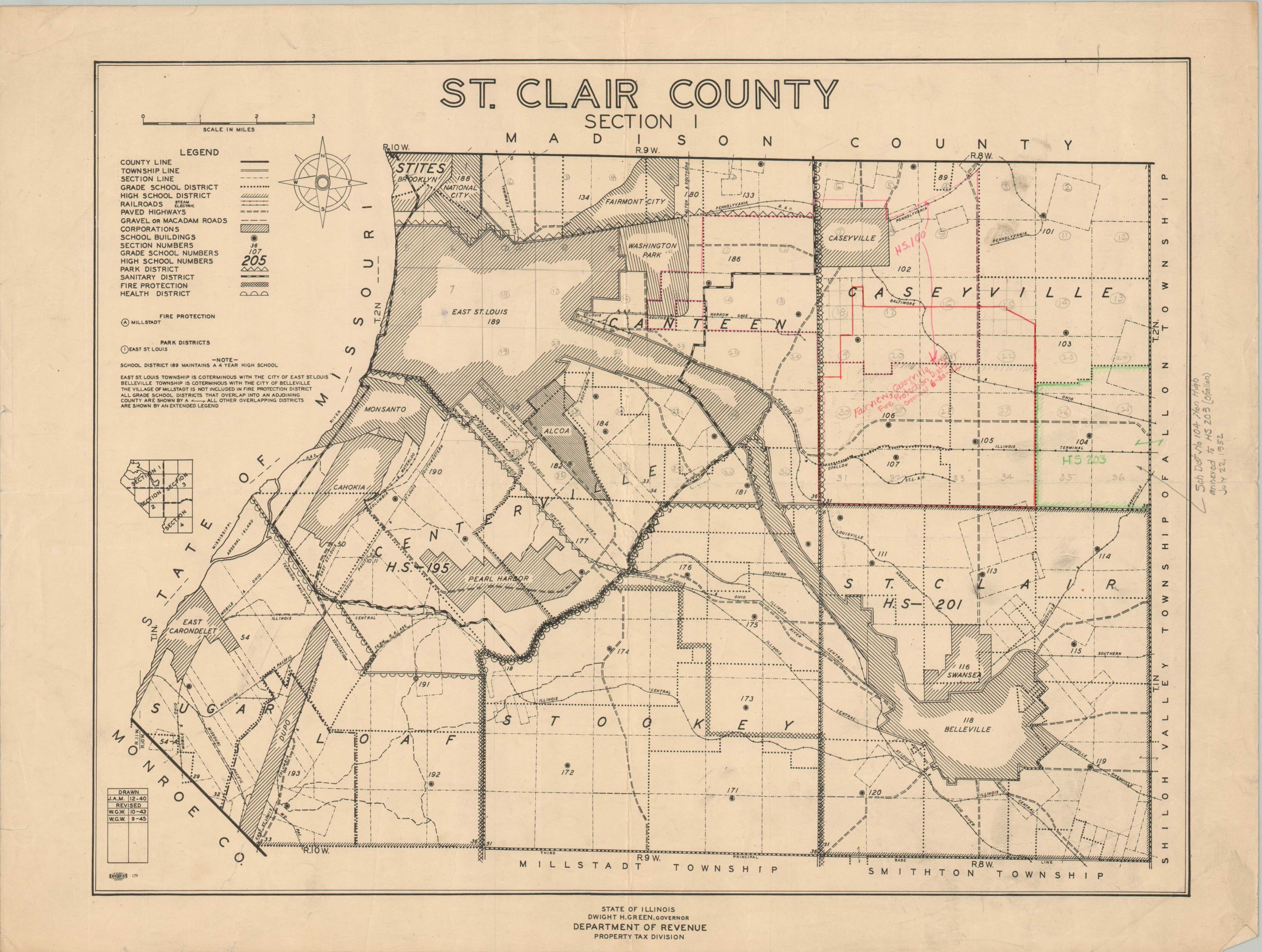
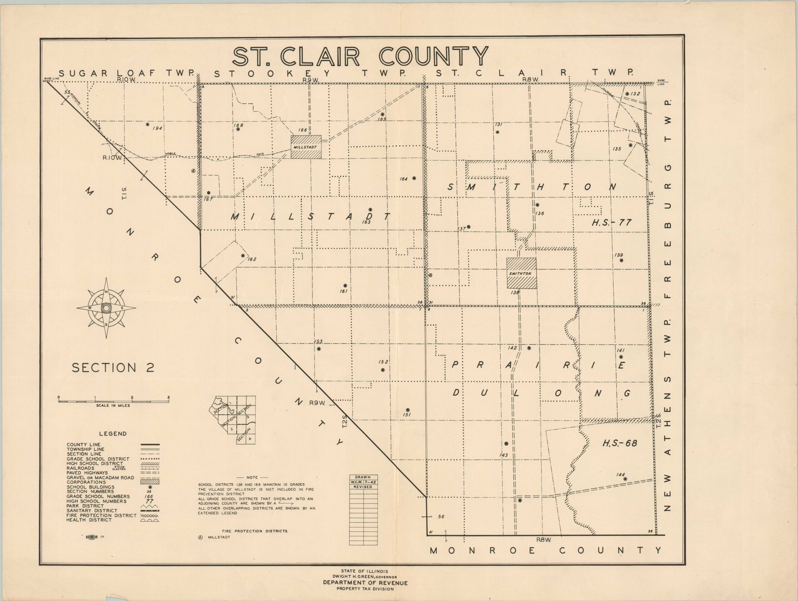
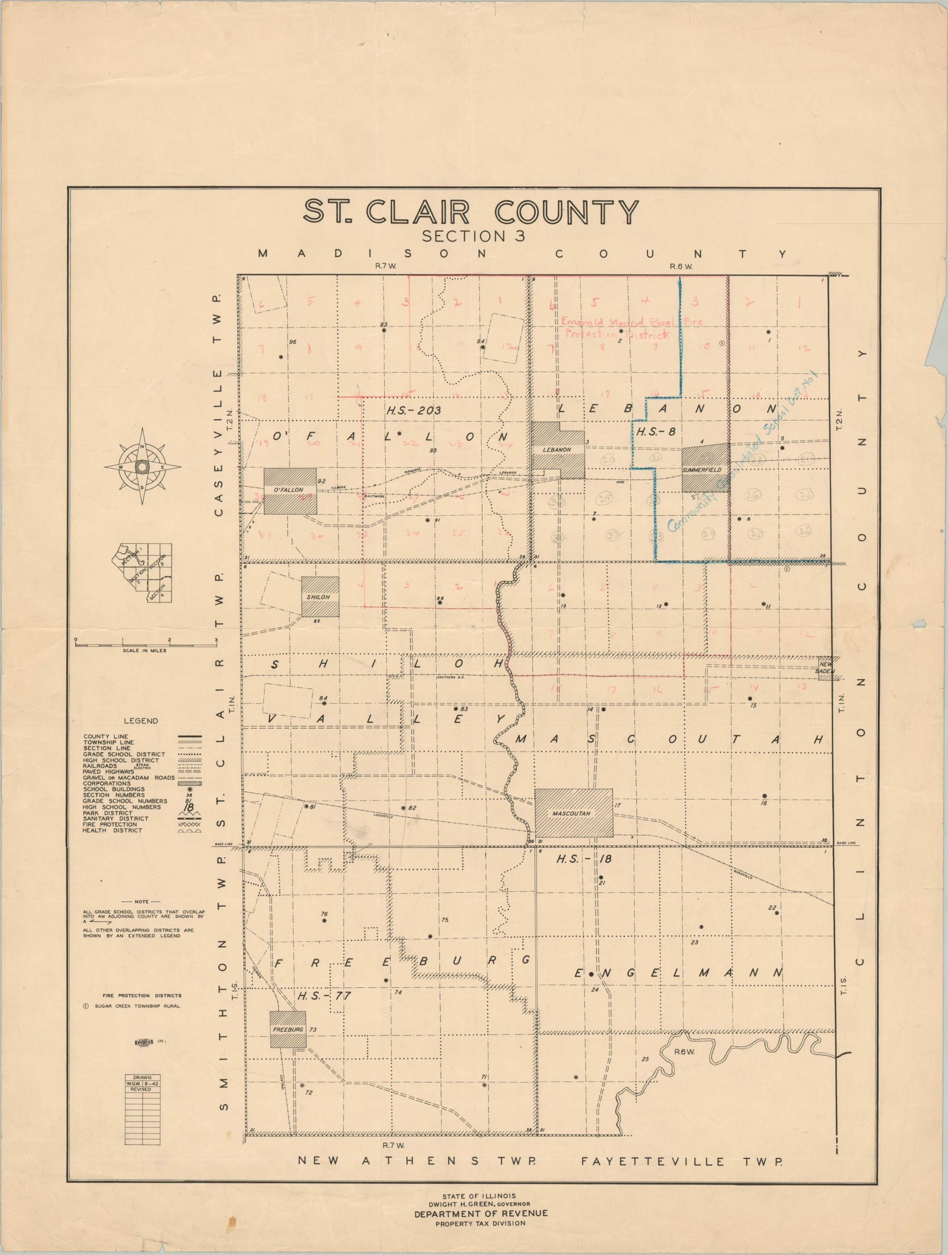
Uncommon group of maps covering St. Clair County in southeastern Illinois.
1 in stock

Description
This four-sheet overview of St. Clair County, Illinois was compiled by the Property Tax Division of the State’s Department of Revenue between 1942 and 1945, according to the printed table of revisions on each. Section two, the urban area around East St. Louis, shows dated manuscript annotations noting property updates through the early 1950s. Each map presents various elements of infrastructure of interest to a taxation division – school districts, property boundaries, primary transportation routes, and major corporations.
It is the last category that reflects (one part) of the unfortunate 20th-century story of St. Clair County. Just outside East St. Louis are several corporate enclaves – Monsanto, Alcoa, National City, etc. – organized exclusively to serve the commercial interests of their owners. These ‘company towns’ were exempt from most forms of environmental regulation, local taxation, and labor oversight; contributing to excessive levels of pollution, wealth disparity, and eventual urban decay.
Further Reading: St. Louis Magazine; The American Bottom – Company Towns;
Map Details
Publication Date: 1942 - 1945
Author: Illinois Department of Revenue Property Tax Division
Sheet Width (in): 24
Sheet Height (in): 18
Condition: B+
Condition Description: Complete set of four sectional single-sided lithographed maps covering the entirety of St. Clair County (size given for each). Each sheet creased along a vertical fold, with moderate wear in the margins including closed tears, confined to the margins. Section 1 has extensive manuscript annotations in red and graphite pencil. Good to very good condition overall.
$450.00
1 in stock