
Spanish North America
$500.00
Magnificent map of Mexico and the American Southwest from the early 19th century.
1 in stock
Description
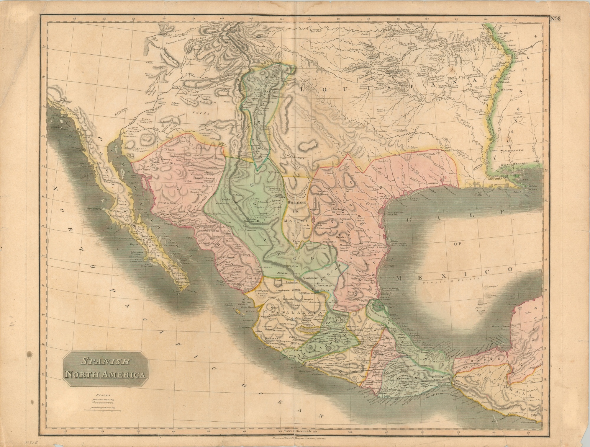
This is a nice example of John Thomson’s detailed and influential map of Spanish North America, from the Yucatan Peninsula across the American Southwest. Though nominally still under the authority of the Spanish crown, much of the region, especially in modern-day Mexico, was experiencing growing insurgencies as part of a coalescing independence movement.
Hand-applied color highlights the various states and levels of political organization near the end of Spain’s empire in the New World. Place names, geographic features, indigenous tribes, and other regional labels are also listed throughout and reflect explorations by Pike, Humboldt, and others. Of particular interest is an early iteration of the Great Salt Lake, a speculative source of the Rio Grande, and large concentrations of Native Americans along the Platte.
The map was drawn and engraved in Edinburgh in 1814 for inclusion in John Thomson’s New General Atlas.
Map Details
Publication Date: 1814
Author: John Thomson
Sheet Width (in): 27.75
Sheet Height (in): 21.00
Condition: B
Condition Description: The entire sheet is moderately toned and shows moderate wear along the outer edges, including several small tears and spots of soiling and discoloration. Creasing in the upper corners and about 6" of separation along the vertical centerfold has been repaired on the verso with archival tape. Two other 2" tears in the lower corners have also been repaired. A bit of other roughed paper along the centerfold, but overall the map remains in good condition with attractive original color.
$500.00
1 in stock