
Space Age News Map
$85.00
The start of the Space Race.
1 in stock

Description
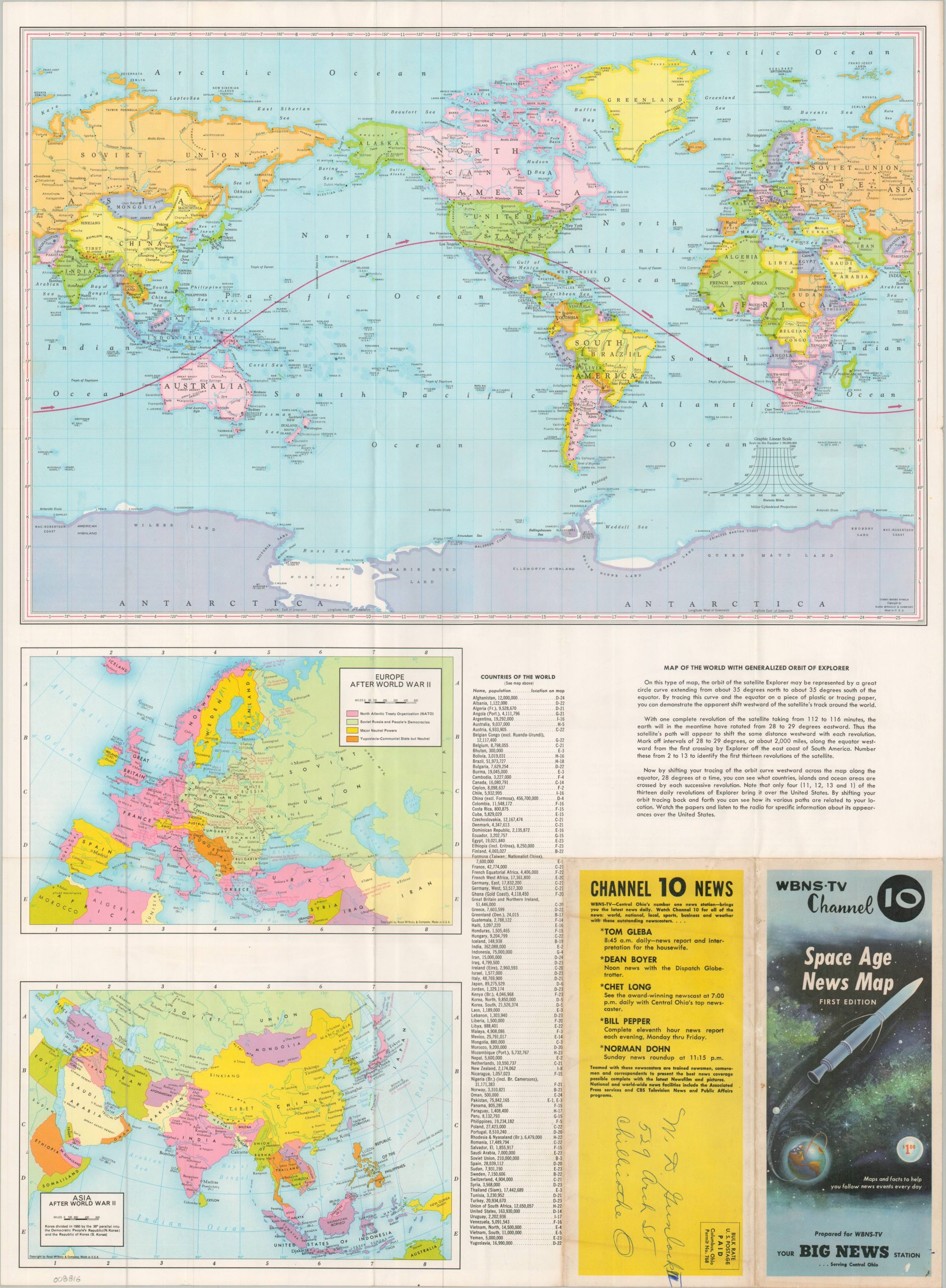
This informative sheet, created by Rand McNally on behalf of Central Ohio’s WBNS-TV, provides a useful primer on the major geopolitical arenas of the 1950s. Billed as the Space Age News Map (First Edition!), the piece provides numerous maps, descriptive text, and illustrated diagrams that attempt to explain the postwar world and beyond.
One side of the sheet presents three political maps – Europe and Asia after World War II, plus a Map of the World with Generalized Orbit of Explorer. The verso offers a similar overview of the Middle East (then undergoing a wave of Pan-Arabism), as well as the political alliances of East vs. West on a polar map of the world. Several charts provide additional details on the functionality of a satellite, the relative size of planets, the Earth’s atmosphere, and the increasing range of new missile technology.
Published in 1957, the map was issued during an extremely volatile period. That same year, the Soviet Union publicly tested its first ICBM and sent Sputnik 1 and 2 into orbit, surprising their American rivals and kicking off what would become known as the Space Race (the accompanying text indicates Explorer had not yet been launched). The 1956 nationalization of the Suez Canal was yet another crisis for Western nations, forcing the U.S. to issue the Eisenhower Doctrine and essentially draw lines in the sand across the Middle East. Also of interest: Africa includes an independent Ghana, ushering in an era of continental decolonization.
Map Details
Publication Date: 1957
Author: Rand McNally
Sheet Width (in): 19.50
Sheet Height (in): 26.75
Condition: B+
Condition Description: Double-sided sheet with minor wear along folds. Toning and an old owner's address on the front/back covers (lower right) and some light edge wear. Good condition, or slightly better, overall.
$85.00
1 in stock