Southern Railway System “The Way to Florida”
Original price was: $350.00.$250.00Current price is: $250.00.
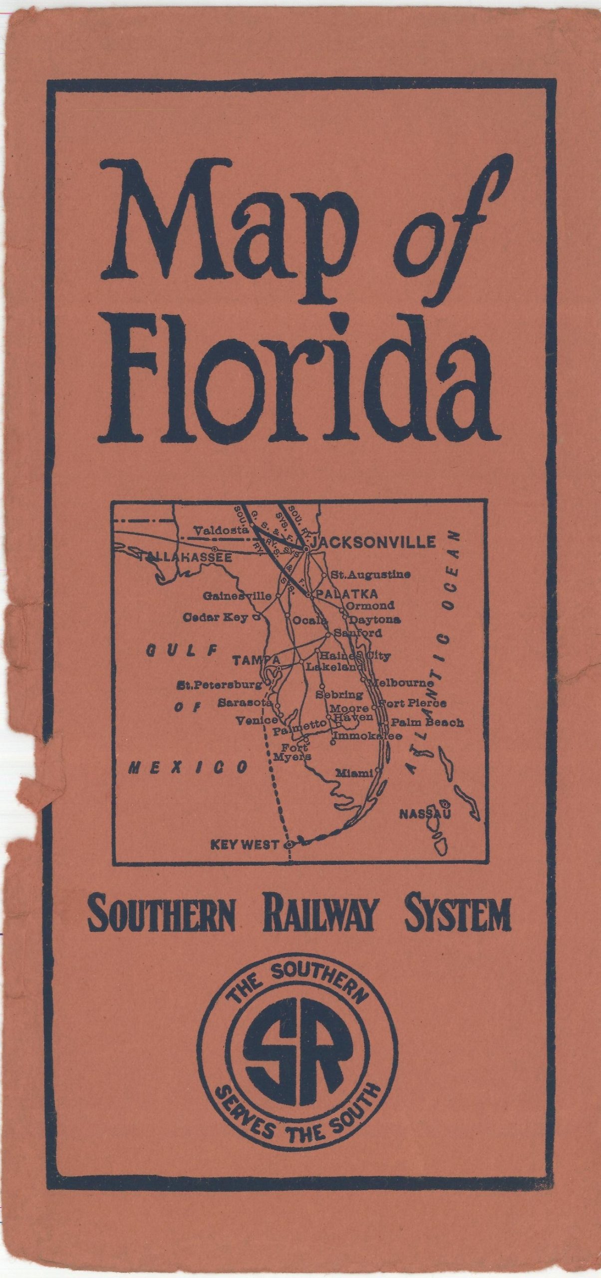
Railroad map of Florida published in the early 1920s.
1 in stock

Description
The Southern Railway System was organized in 1894 as a result of the consolidation of dozens of predecessor lines under the umbrella of one operating company. Using savvy leases, operating agreements, and controlling interests through stock ownership, the Southern Railway was able to acquire additional routes and double the mileage of its lines to a peak of over 8,000 miles in 1916.
This map, published in 1923 by the Poole Brothers of Chicago, highlights only a small portion of that massive transportation network. The primary image is dated 1910 and shows the lines of the Southern Railway extending only to Jacksonville and Palatka, with competitors’ lines required to access the rest of the Florida peninsula.
An inset in the lower left shows such options for connecting routes across the American Southeast to Memphis and Cincinnati, while a second inset in the lower right (dated 1923) shows steamship connections to the island of Cuba. An index of Florida’s towns and resorts can be found on the verso.
Map Details
Publication Date: c. 1923
Author: Southern Railway System
Sheet Width (in): 17.75
Sheet Height (in): 28.6
Condition: A-
Condition Description: Disbound from original paper wraps (still present) and lightly creased and worn along originally issued fold lines. A small 2" tear in the center right has been repaired on the verso. Very good to near fine condition overall.
Original price was: $350.00.$250.00Current price is: $250.00.
1 in stock