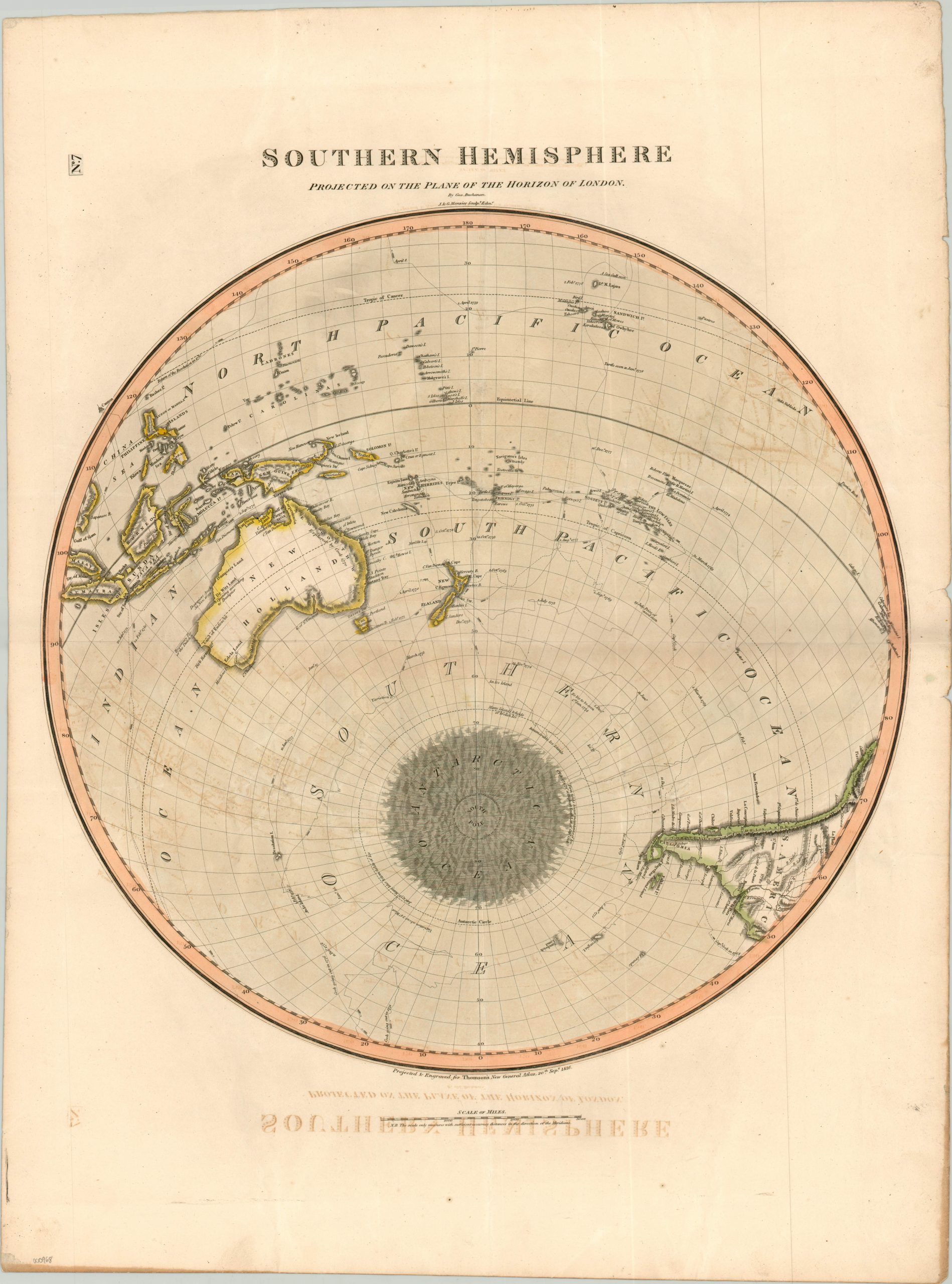
Southern Hemisphere
$200.00
Polar projection of the Southern Hemisphere highlighting Cook’s tracks.
Description
Captain James Cook commanded three voyages to the Pacific during his illustrious career and the route of each can be seen meandering through the Pacific on this map of the Southern Hemisphere. European (especially English) fascination with Cook’s adventures is likely what prompted mapmaker John Thomson to include Cook’s tracks over more recent discoveries, such as those by Matthew Flinders.
However, at the time of publication, Cook’s exploration of the Antarctic Circle was still the preeminent authority of the region and Thomson liberally quotes passages directly from the ship’s log to assert his geographic claims. The map was drawn by George Buchanan and engraved by J & G Menzier for inclusion as plate number 7 in John Thomson’s 1817 New General Atlas.
Map Details
Publication Date: 1816
Author: John Thomson
Sheet Width (in): 21.50
Sheet Height (in): 28.50
Condition: B
Condition Description: Moderate offsetting and discoloration visible throughout most of the sheet. However the image remains presentable, with a bold imprint and neat hand color on a thick, full sheet.
$200.00

