
Southern Hemisphere
$200.00
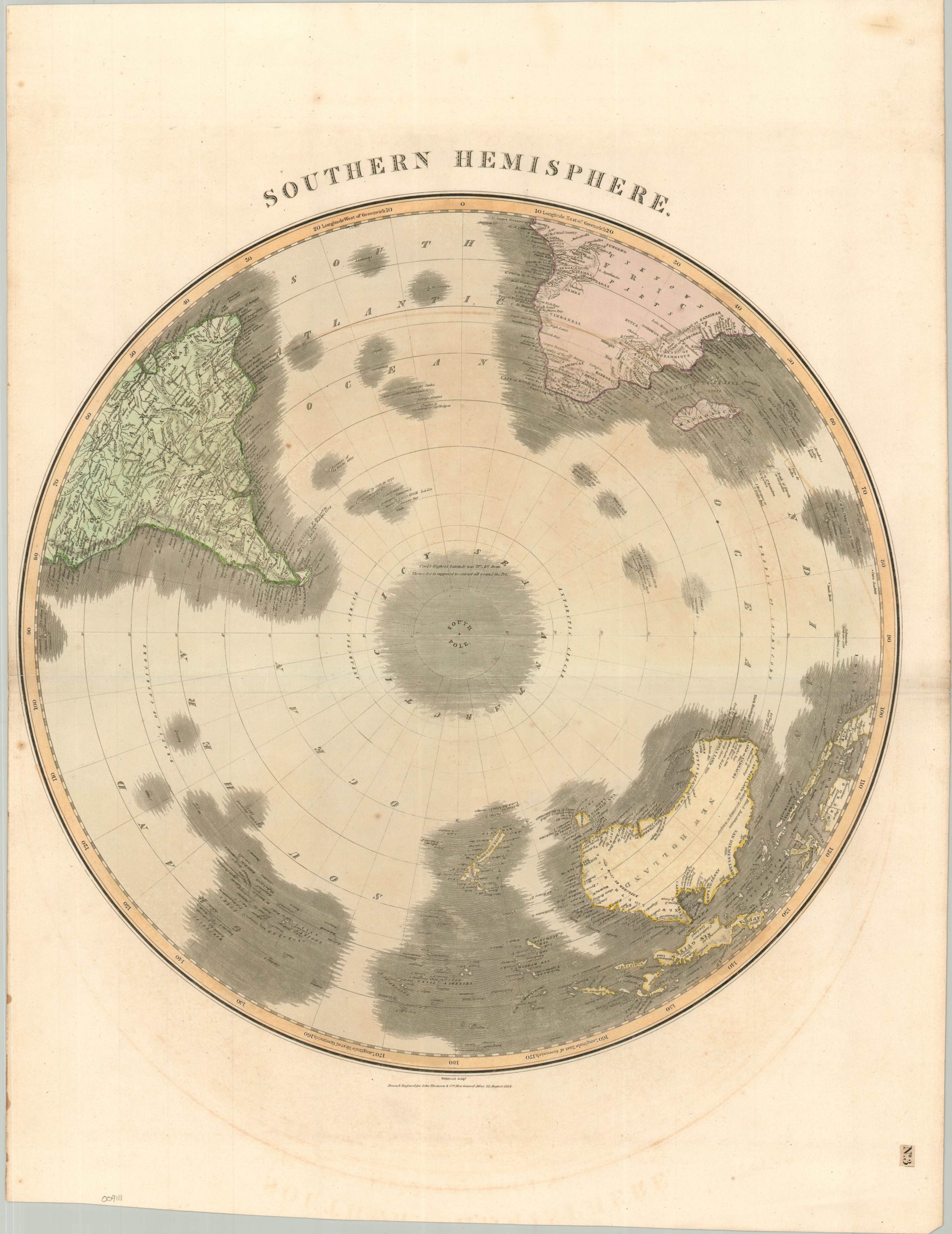
The Southern Hemisphere after the wave of late 18th century Pacific exploration, but before the frigid Antarctic expeditions of the century following.
1 in stock
Description
This beautiful antique map of the Southern Hemisphere was engraved by Kirkwood and published in Edinburgh by John Thomson & Co. in 1814. The finely detailed engraving reflects the remarkable wave of late 18th- and early 19th-century voyages that progressively expanded European geographical knowledge of the southern oceans. Matthew Flinders’ circumnavigation of Australia (1801–1803) had recently established the continent’s coastline, while much of its interior remained unexplored. The relatively well-defined coastlines of Australia, Africa, and South America contrast sharply with their largely blank interiors and the extraordinary uncertainty surrounding the South Pole. ‘Discovered’ lands, including several phantom islands, are surrounded by darkened hachures, a convention echoed in the speculative geography around Antarctica.
Map Details
Publication Date: 1814
Author: John Thomson & Co.
Sheet Width (in): 21.25
Sheet Height (in): 27.60
Condition: B+
Condition Description: Engraved map with original hand color on a strong sheet of laid paper, creased along an irregular horizontal fold line. Narrow left margin and some offsetting and foxing in the ample vacant spaces. Good condition overall.
$200.00
1 in stock