
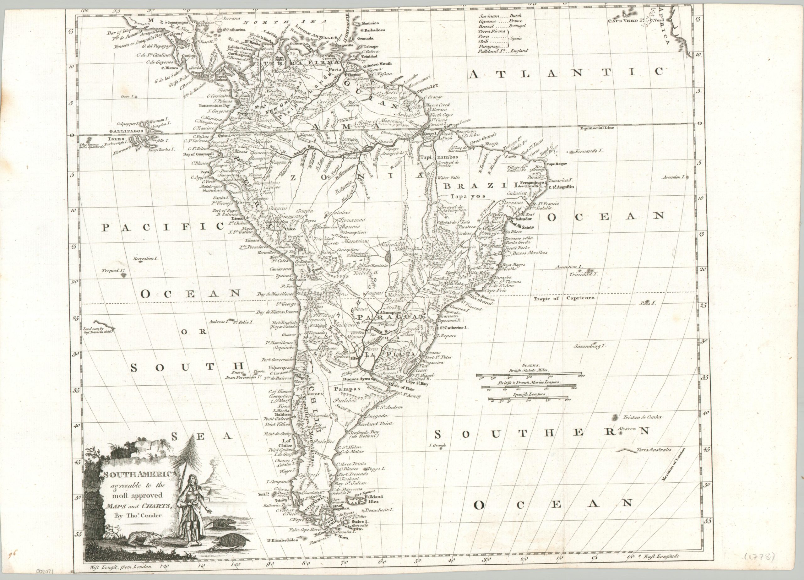
South America agreeable to the most approved maps and charts
Colonial South America near the outbreak of the American Revolutionary War.
Out of stock
Description
This finely engraved antique map of South America was designed by Thomas Conder and published in London around 1778. Toponyms identify a fascinating variety of European settlements, indigenous tribes, geographic features, and more. Mines, missions, and plantations reflect the primary priorities of the colonizing powers, listed in the upper right but dominated by Spain and Portugal (note the English claim to the Falklands).
The decorative cartouche in the lower left presents an amusing scene of a regal native surrounded by erupting volcanoes, an armadillo, and capybaras? Oddly, in the opposite corner can be seen the incomplete coastline of Terra Australis! An interesting European perspective on the continent from the end of the 18th century.
Map Details
Publication Date: c. 1778
Author: Thomas Conder
Sheet Width (in): 18.6
Sheet Height (in): 13.4
Condition: B+
Condition Description: Copperplate engraved map on a washed sheet faintly creased along old folds. Spotting in the left margin and trimmed upper and lower edges to the neatline. Good condition overall.
Out of stock