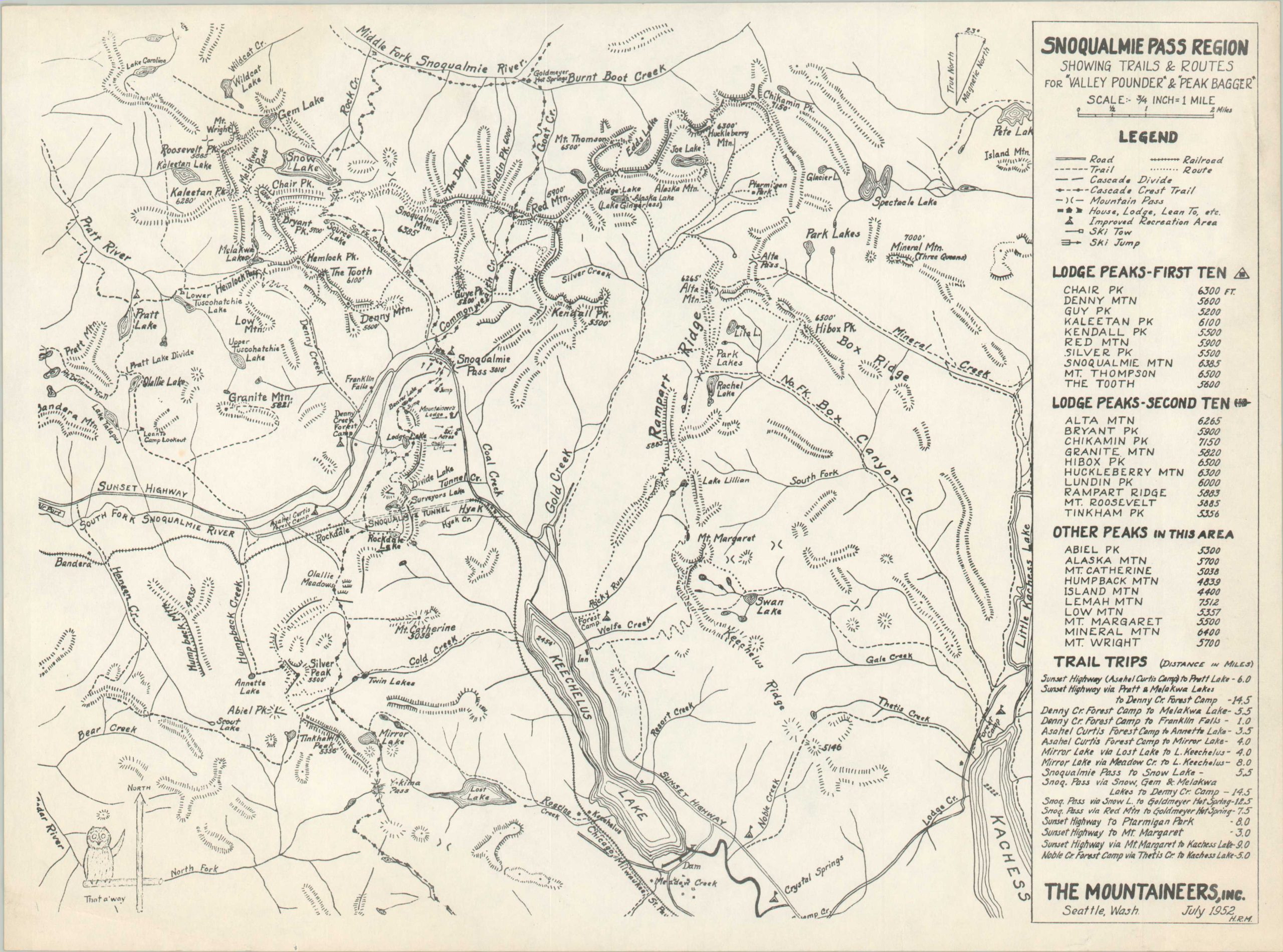
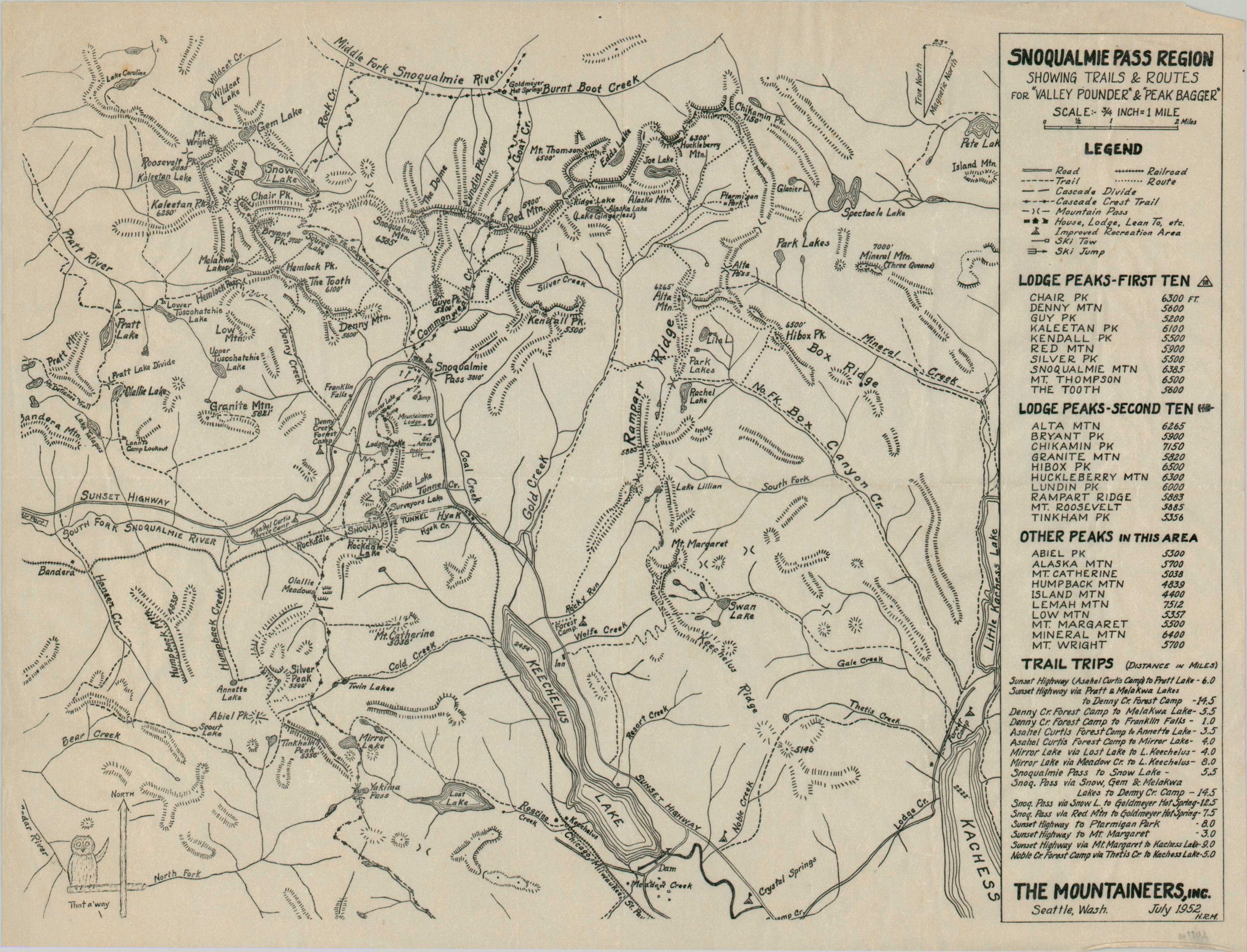
Snoqualmie Pass Region
Hiking across the Snoqualmie Valley during the early 1950s.
Out of stock
Description
This pair of nearly identical maps (same image, different paper), signed H.R.M. in the lower corner, was published in Seattle by The Mountaineers, Inc. in 1952. The carefully designed image outlines the skiing, hiking, riding, and driving routes across Washington’s Snoqualmie Pass Region.
Numerous mountain peaks, all above 4,000 ft. in height, are named on the right side, along with sixteen recommended trail trips. Simple topographic detail is provided with small hachures, somewhat minimizing the area’s rugged terrain
Map Details
Publication Date: 1952
Author: H.R.M.
Sheet Width (in): 14
Sheet Height (in): 10.75
Condition: A-
Condition Description: Two of the same maps, one of which is printed on thin onion skin paper that shows some wrinkling and creasing along old fold lines. The other, issued on normal paper, shows some light toning around the outer edges. Very good condition overall.
Out of stock


