
Sketch Map of Italy with the Lines of Communication by Road, Rail, Sea, and Air
$125.00
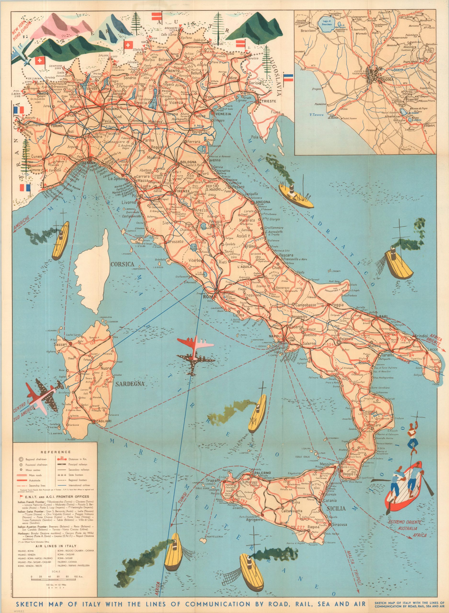
Charming post war tourist map of Italy.
1 in stock
Description
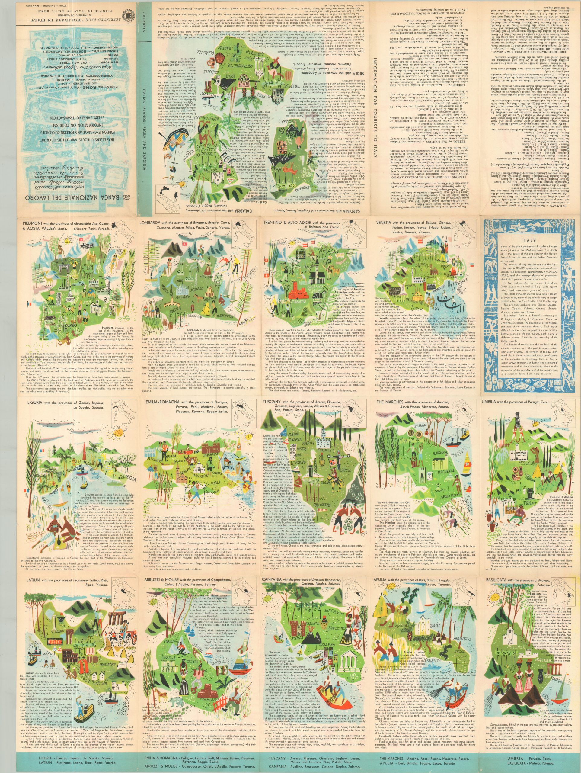
This lovely midcentury map of Italy reflects the nation’s effort to change it international image in the years following World War II, while also encouraging global tourism via land, air, and sea. An uncomplicated transportation overview shows Italy as well-connected to nearby European neighbors as well as popular overseas departure points. An inset of Rome in the upper right is complemented by a detailed legend in the lower left. The verso of the sheet offers over a dozen pictorial maps and accompanying descriptions of Italy’s various regions; their cuisine, culture, climate, and more.
Credited to the cartographic studio (Stabilimento) of L. Salomone in Rome. Published in 1953 by the Italian National Agency for Tourism (E.N.I.T.), with some content reprinted from “Holidays in Italy” by Roberto de Gasperis.
Map Details
Publication Date: 1953
Author: L. Salomone
Sheet Width (in): 23.00
Sheet Height (in): 31.25
Condition: A-
Condition Description: Vibrant color brochure, printed on both sides and moderately creased along original folds. Some faint toning on the front panel does not affect the map. Very good condition overall.
$125.00
1 in stock