Six Wine Maps of the Cape
A group of six pictorial maps of wine regions in South Africa.
Out of stock
Description
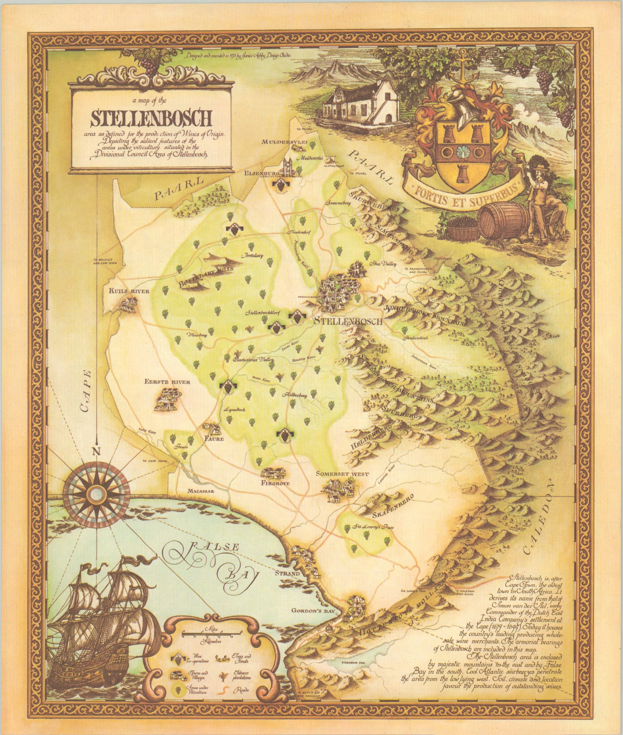
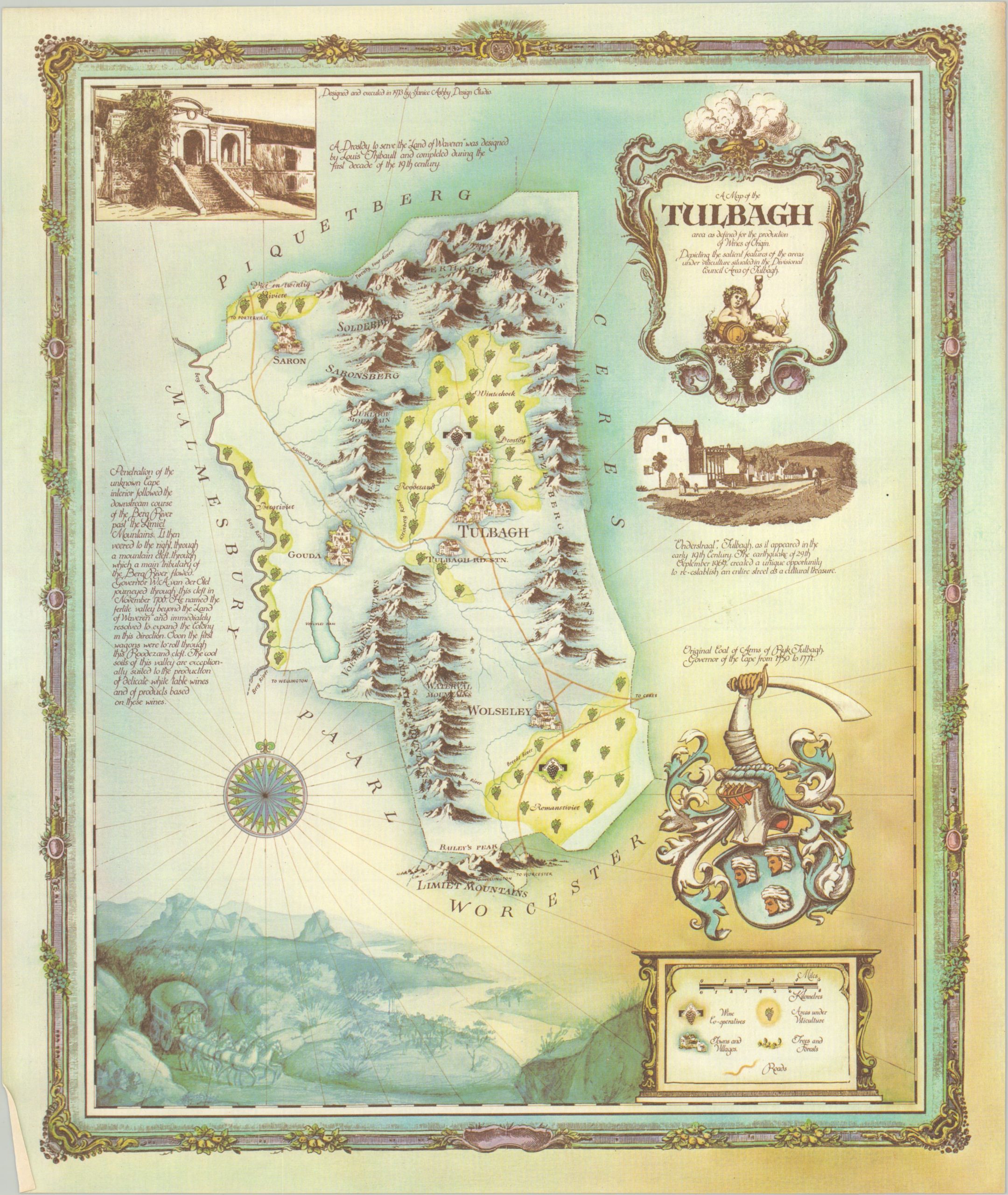
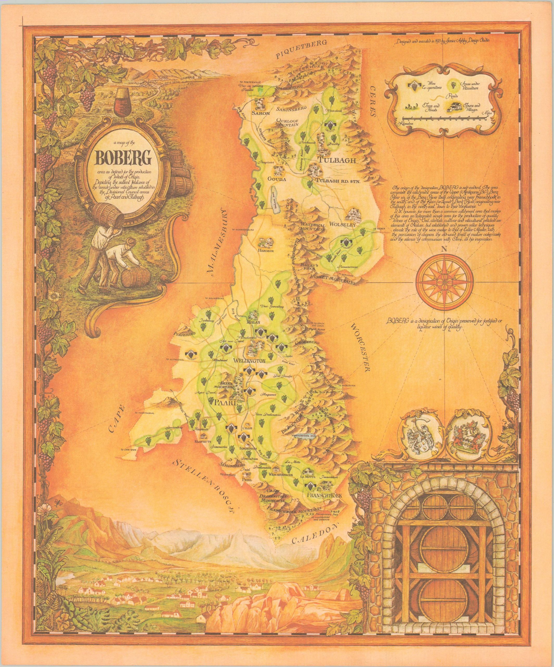
in 1973, KWV (one of the nation’s largest winemaking co-operatives) commissioned Janice Ashby Design Studios to create a group of twelve pictorial maps celebrating the establishment of new wine regions throughout South Africa. That same year, the “Wine of Origin” program was introduced to the country, and various wines from each geographic area began to be subjected to strict regulatory and quality assurance controls.
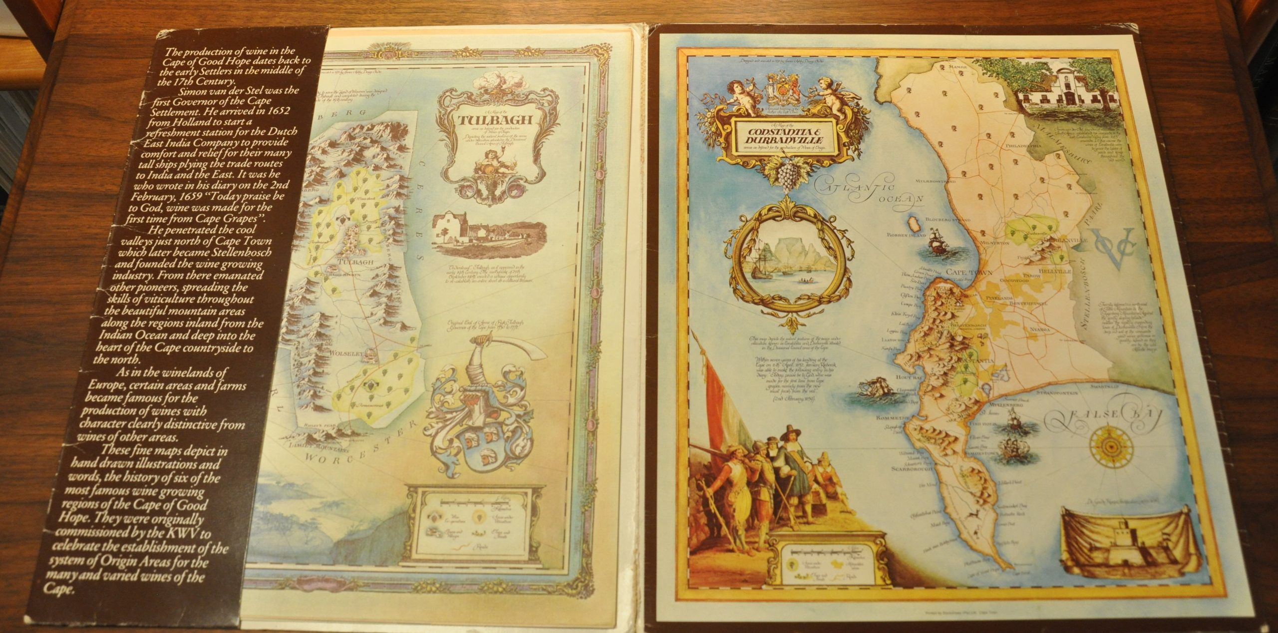
These is a group of six maps from that collection, slightly reduced from their originals and likely published a year of two afterwards. Included are the wine producing regions of Stellenbosch, Boberg, Paarl, Malmesbury, Constantia, and Tulbagh. On each sheet, bundles of grapes identify the location of vineyards and cooperatives and numerous decorative elements like coats of arms, historic vignettes and landscape scenes are present; making for both an attractive and practical map.
Map Details
Publication Date: c. 1975
Author: Janice Ashby Design Studios
Sheet Width (in): 11.25
Sheet Height (in): 13.25
Condition: A
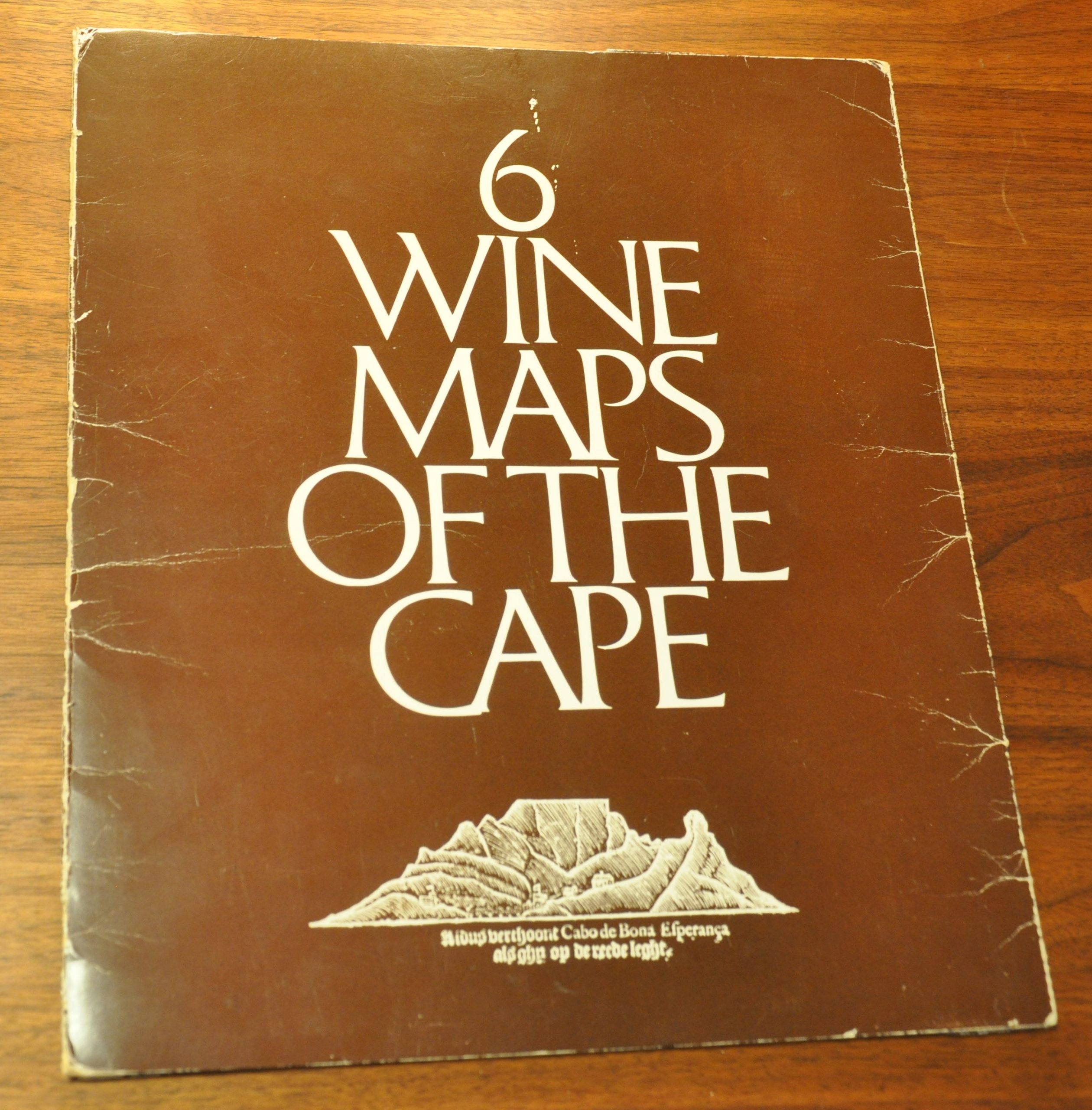
Condition Description: Group of six separate pictorial maps in original paper folder. The covers are slightly worn and moderately creased, but the maps are in fine condition overall.
Out of stock

