
Sitka
$85.00
“A VIVID HISTORY, A MAGNIFICENT SETTING, THE RUSSIAN-AMERICAN Capital.” – Verso.
1 in stock
Description
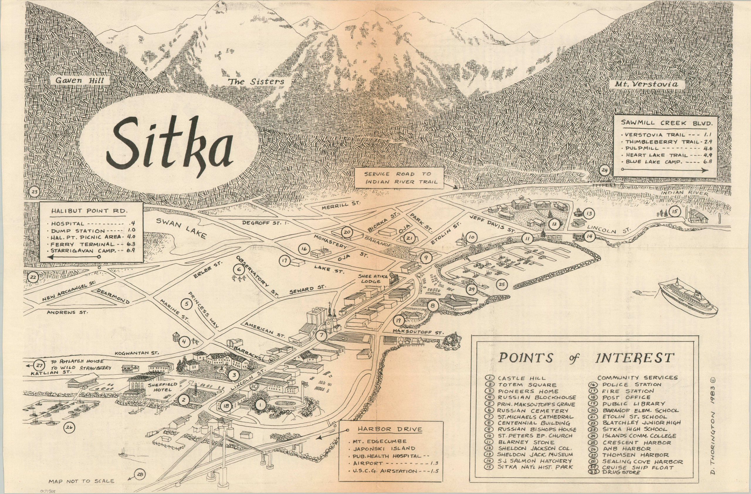
This fun promotional map presents a charming view of the largest city by total area in the U.S. (almost 5,000 square miles, including water!) – Sitka, Alaska. The area’s Western history began with the arrival of Russian rule in the late 18th century, though significant local industrialization would not take place until World War II and after.
The image identifies thirty points of interest, ranging from the impressive natural features to the more mundane (i.e. a drugstore). The adjacent mountain peaks, including Gaven Hill, Mt. Verstovia, and The Sisters, are illustrated in an interesting parquet style.
Drawn by D. Thornington in 1983 and published locally by the Sitka Visitor’s Bureau. Descriptive text, a business directory, and a warm welcome from Little Drook (the bureau’s mascot) on the verso.
Map Details
Publication Date: 1983
Author: D. Thorington
Sheet Width (in): 22
Sheet Height (in): 14.5
Condition: B+
Condition Description: Brochure with centerfold map, folded twice. Moderately toned along folds (see scan), but otherwise in good condition.
$85.00
1 in stock