
Sicily
$125.00
Planning for the invasion of Sicily.
1 in stock
Description
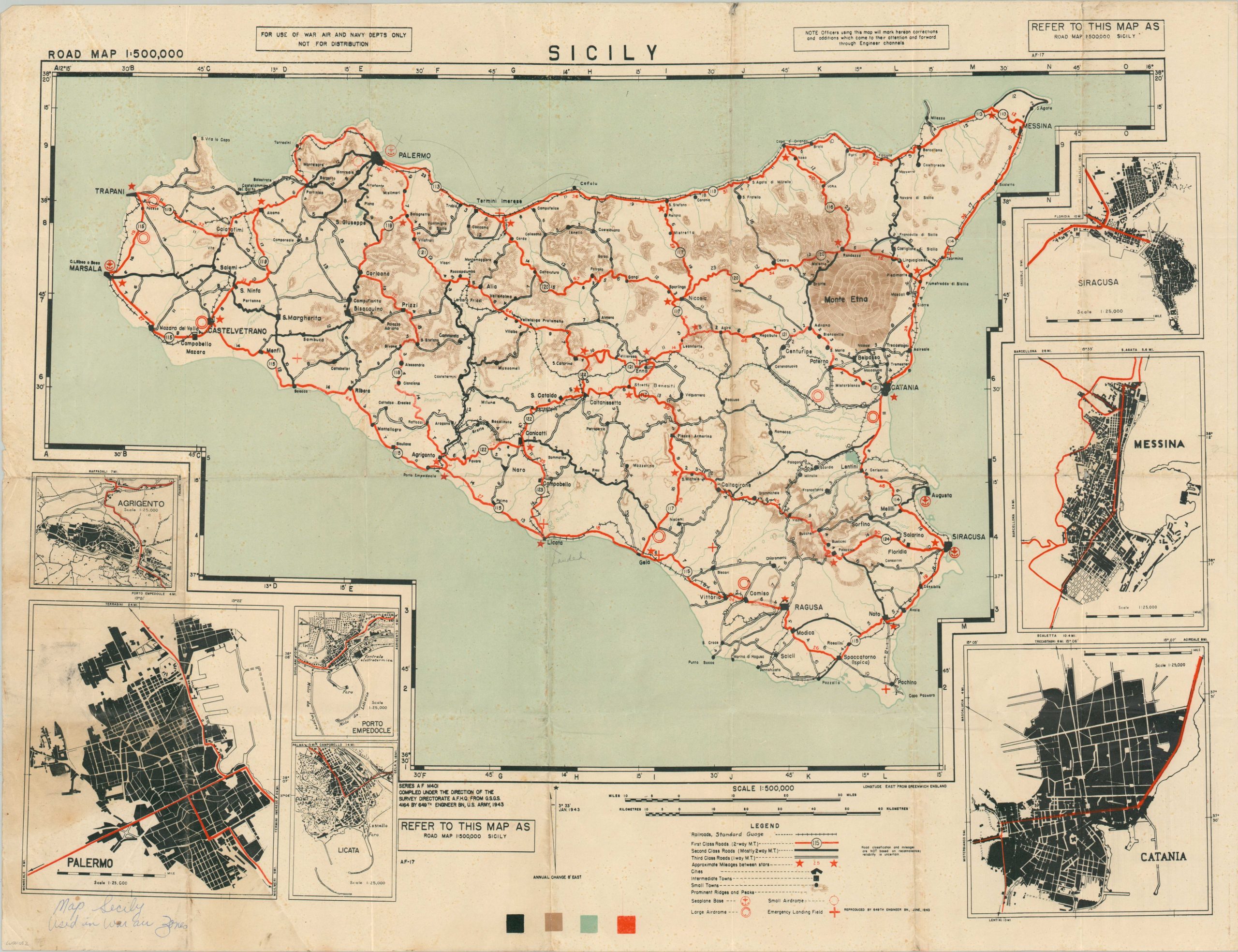
This informative map of Sicily was compiled and published in June 1943 by the 649th Engineer Battalion of the U.S. Army. The following month, the launch of Operation Husky would see Allied forces begin a combined amphibious and airborne campaign to capture the island from its Italian defenders.
The image emphasizes Sicily’s road network, highlighting First-Class routes in bright red. Mileage between stars is also noted, along with the location of emergency airfields, seaplane bases, and airdromes. Inset plans show the major urban centers of Syracuse, Messina, Catania, Palermo, and Agrigento; as well as harbors at Porto Empedocle and Licata. Printed text in the upper left notes the map was “For Use of War Air and Navy Depts Only Not For Distribution.”
Map Details
Publication Date: 1943
Author: 649th Engineer Battalion
Sheet Width (in): 28.75
Sheet Height (in): 21.9
Condition: B+
Condition Description: Moderate creasing, toning, and wear along old folds. Scattered foxing and spotting visible along the outer edges of the sheet, concentrated most heavily in the lower left. Good condition overall. Blank on verso.
$125.00
1 in stock