
Siberie
$60.00
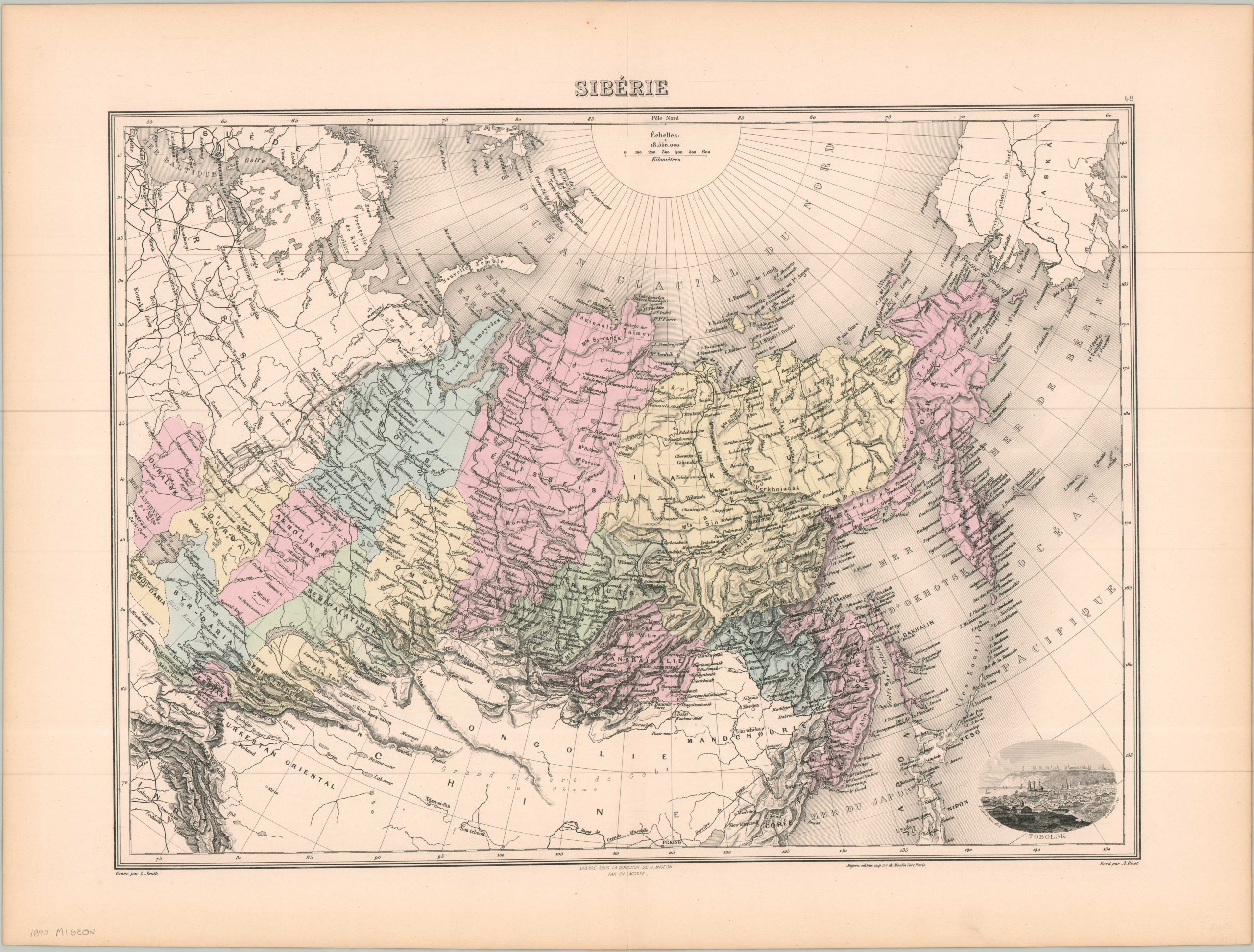
The Russian Far East in the late 19th century.
1 in stock
Description
This engaging antique map captures Russia’s Asian possessions, collectively labeled as Siberia, in exacting engraved detail. Pastel colors highlight the governorates (gubernias) east of the Caspian Sea and Ural Mountains. Topography is depicted with hachures, emphasizing the rugged southern frontier with Qing China. The Great Game is also reflected in the Russian encroachment into the Pamir Region – British India is labeled on the other side of the Himalayas.
Major cities of the historic Silk Road are prominently labeled, including Bukhara, Samarkand, Kashgar, and Turpan. Other interesting features include the Great Wall/Willow Palisade, an incomplete outline of Franz Joseph Land, and a view of Tobolsk in the lower right. While several railroads are noted in Russia’s European possessions (including the Ural Railway), there is zero operational mileage in Siberia. This would soon change, as in 1891 construction began in Vladivostok on the famous Trans-Siberian Railway.
The map was created by J. Migeon, drawn by A. Bixet, and engraved by L. Smith. Published in Paris in 1890 by Charles Lacoste.
Map Details
Publication Date: 1890
Author: J. Migeon
Sheet Width (in): 20.10
Sheet Height (in): 15.30
Condition: A
Condition Description: Steel engraved map with original color. Some light toning in the margins, but overall in near fine condition.
$60.00
1 in stock