
Shell Official Road Map of the United States
$95.00
America’s highway before the nation plunges into war.
1 in stock

Description
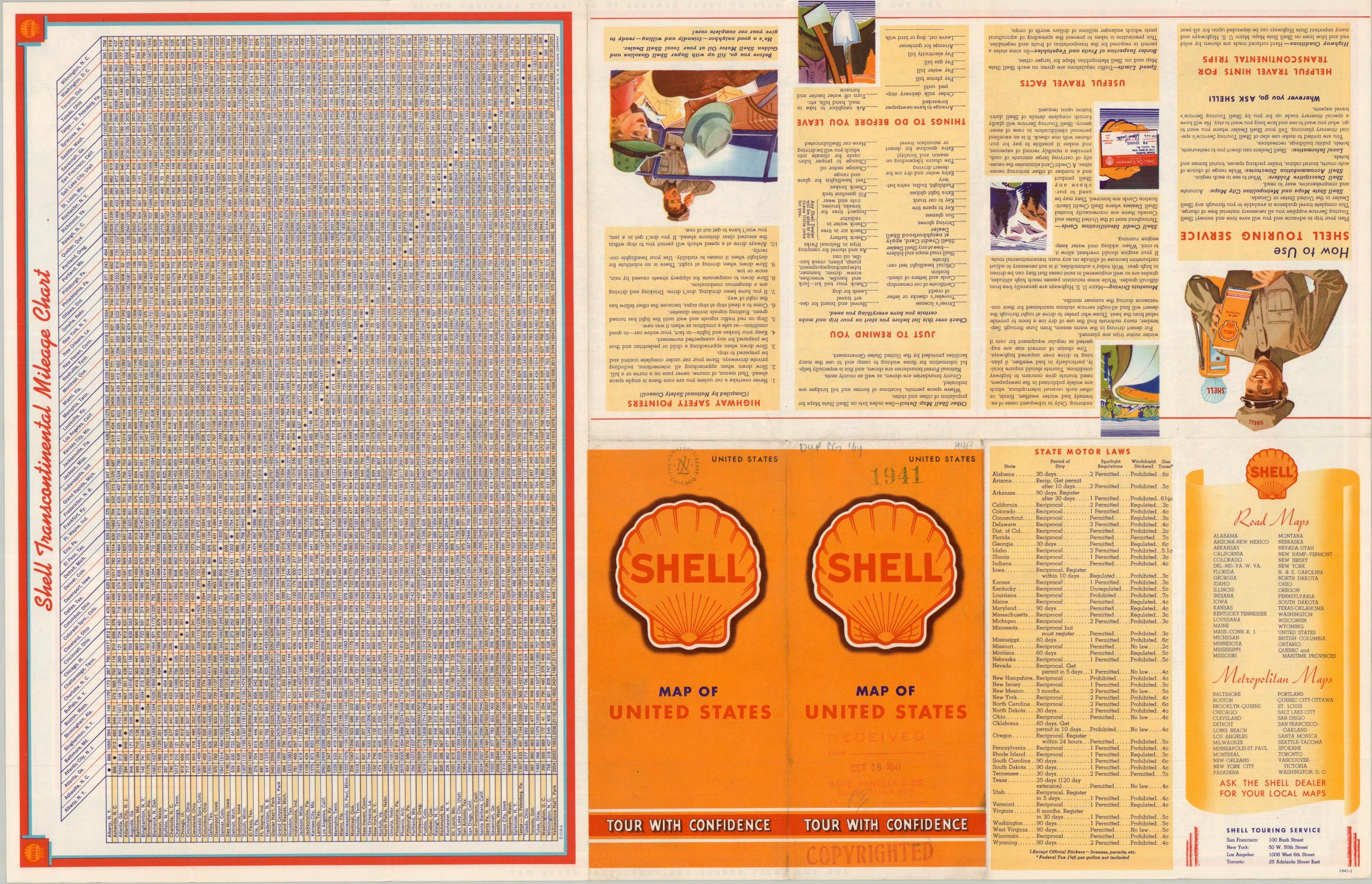
This charming example of the ubiquitous 20th-century gas station road map outlines America’s highway network on the verge of World War II. Bright red streaks crisscross the nation from coast to coast, providing easy access to National Parks, major cities, small towns, mountains, oceans, and more. A cleverly designed legend in the lower right notes how road surfaces, landmarks, distances, highway numbers, etc. are marked across the image. Unusual to contemporaries, driving times are also provided – an unquestionably handy reference, though times varied greatly on road conditions, weather, etc. An extensive transcontinental mileage chart, truncated state motor laws, and information on the Shell Touring Service are provided on the verso.
The map was designed and copyrighted in 1941 by Rand McNally & Company of Chicago. Issued by Shell as part of its nationally known Touring Service, with main offices in San Francisco, New York, Los Angeles, and Toronto. A rubberstamp on the front cover indicates the map was received by the Rand McNally Blazed Trails Department in October, 1941. Several other stamps read COPYRIGHTED.
Map Details
Publication Date: 1941
Author: Rand McNally & Company
Sheet Width (in): 27.5
Sheet Height (in): 18
Condition: A
Condition Description: Double-sided road map with sharp creasing along folds and light wear along the outer edges of the sheet. Rubberstamped throughout with old copyright and Newberry Library (deaccessioned).
$95.00
1 in stock