
[Set of six double sided manuscript maps]
$175.00
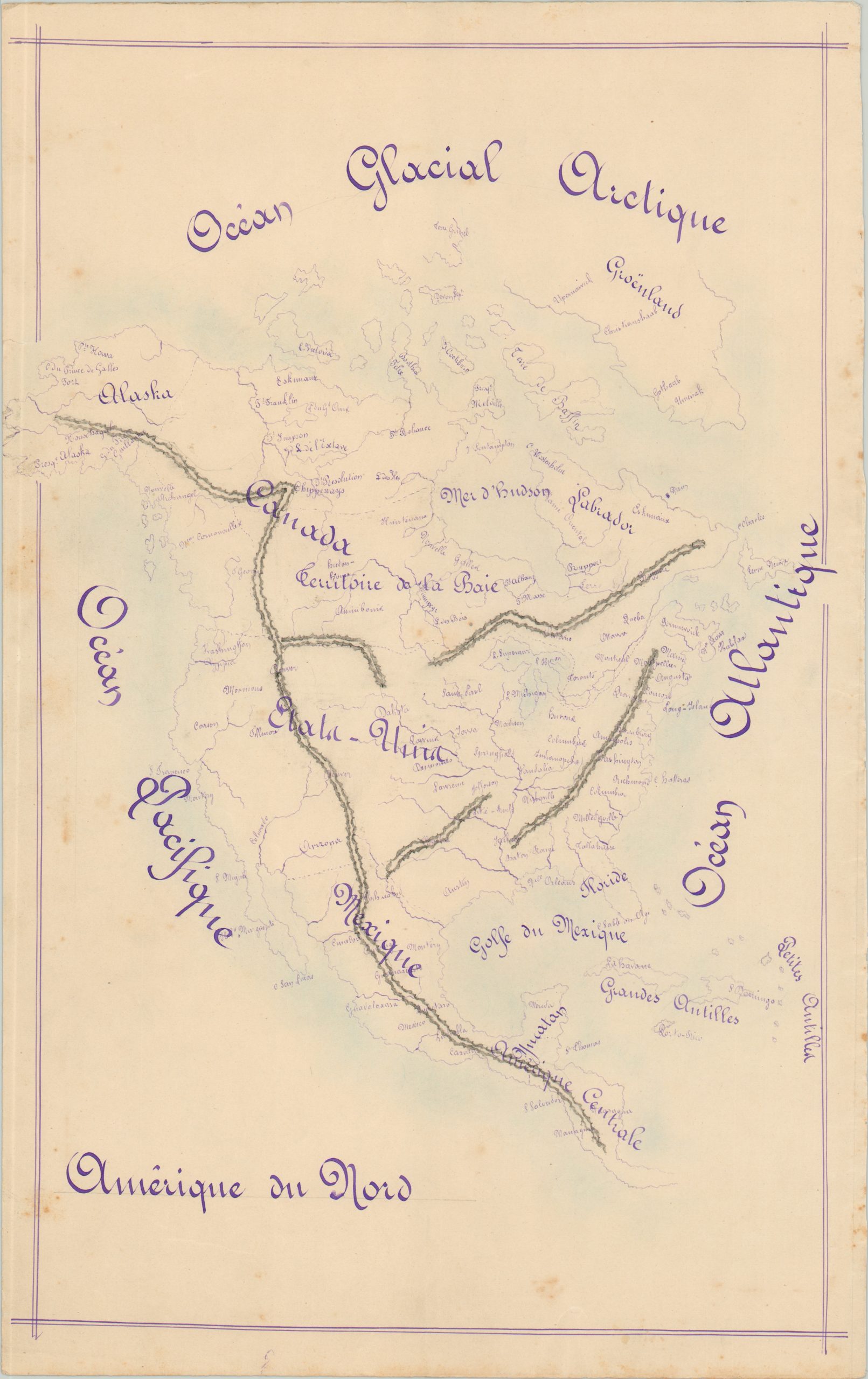
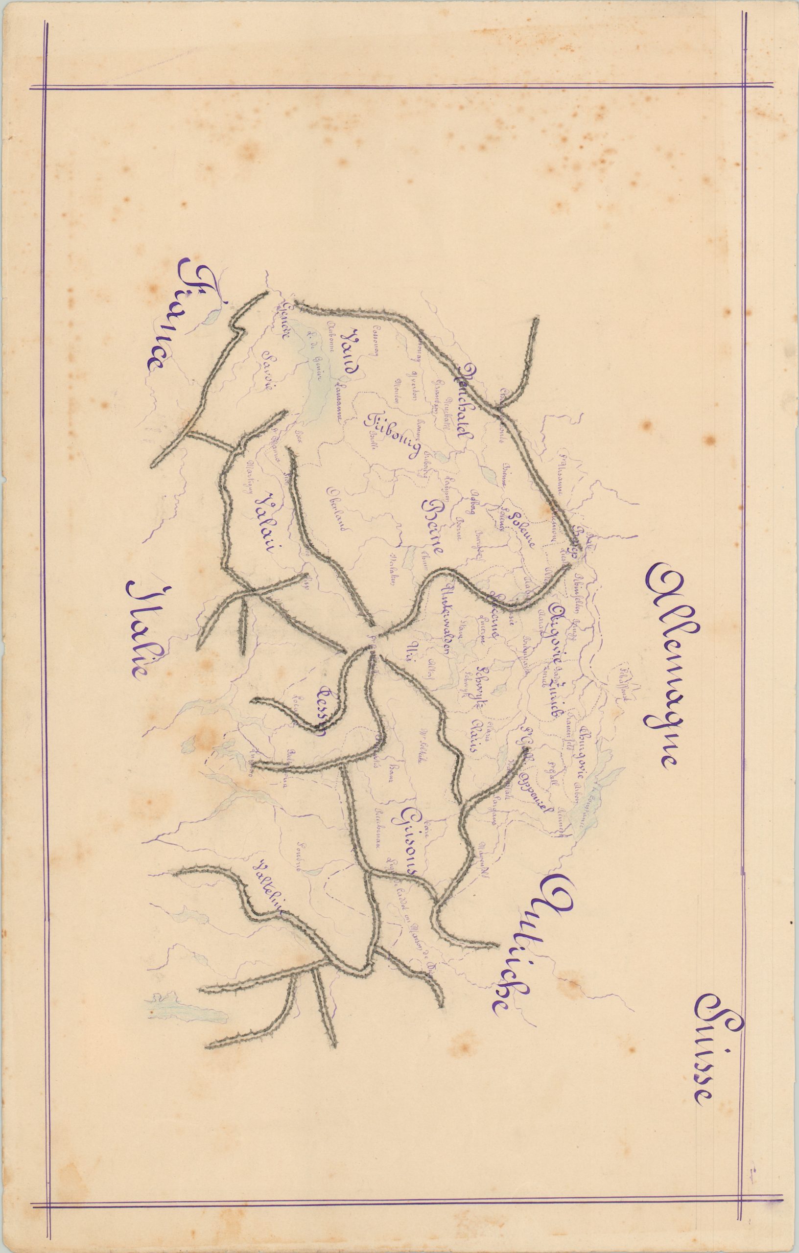
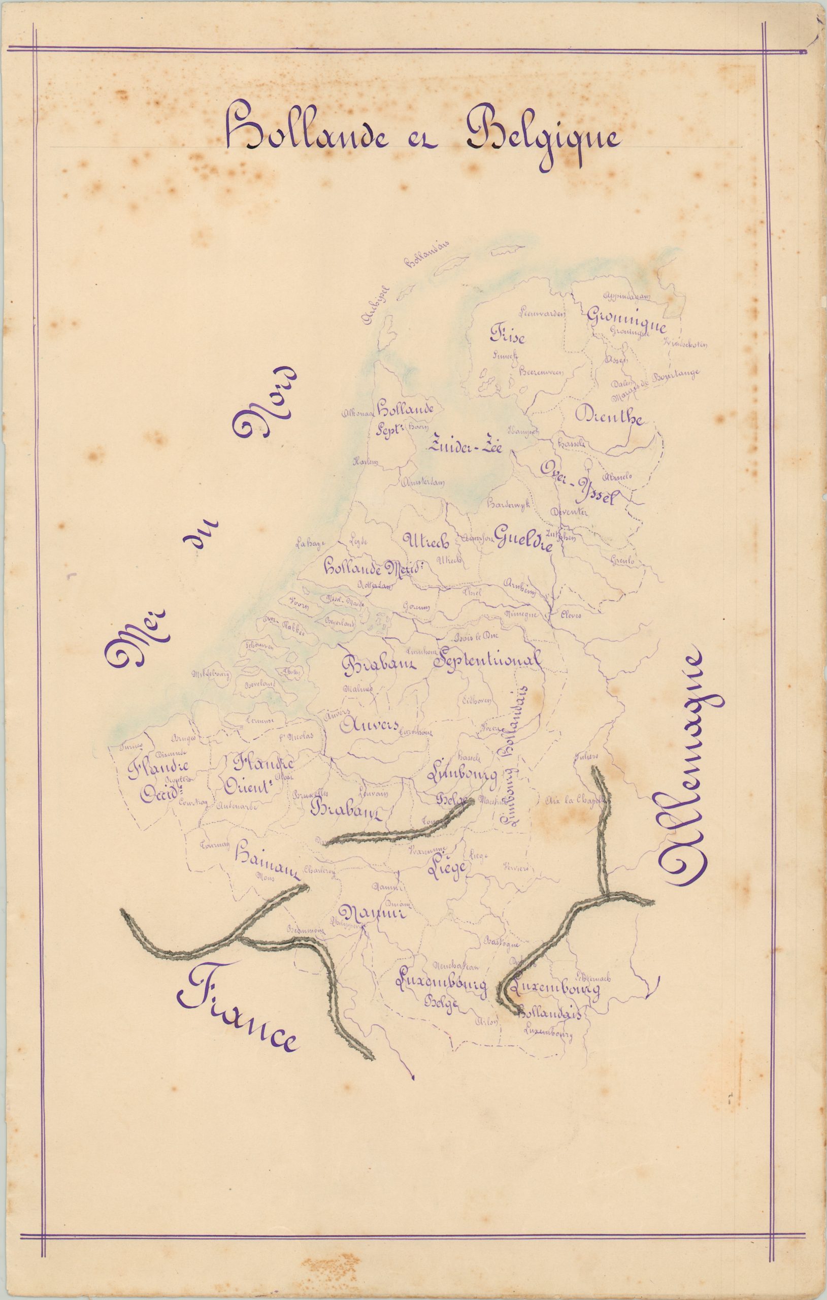
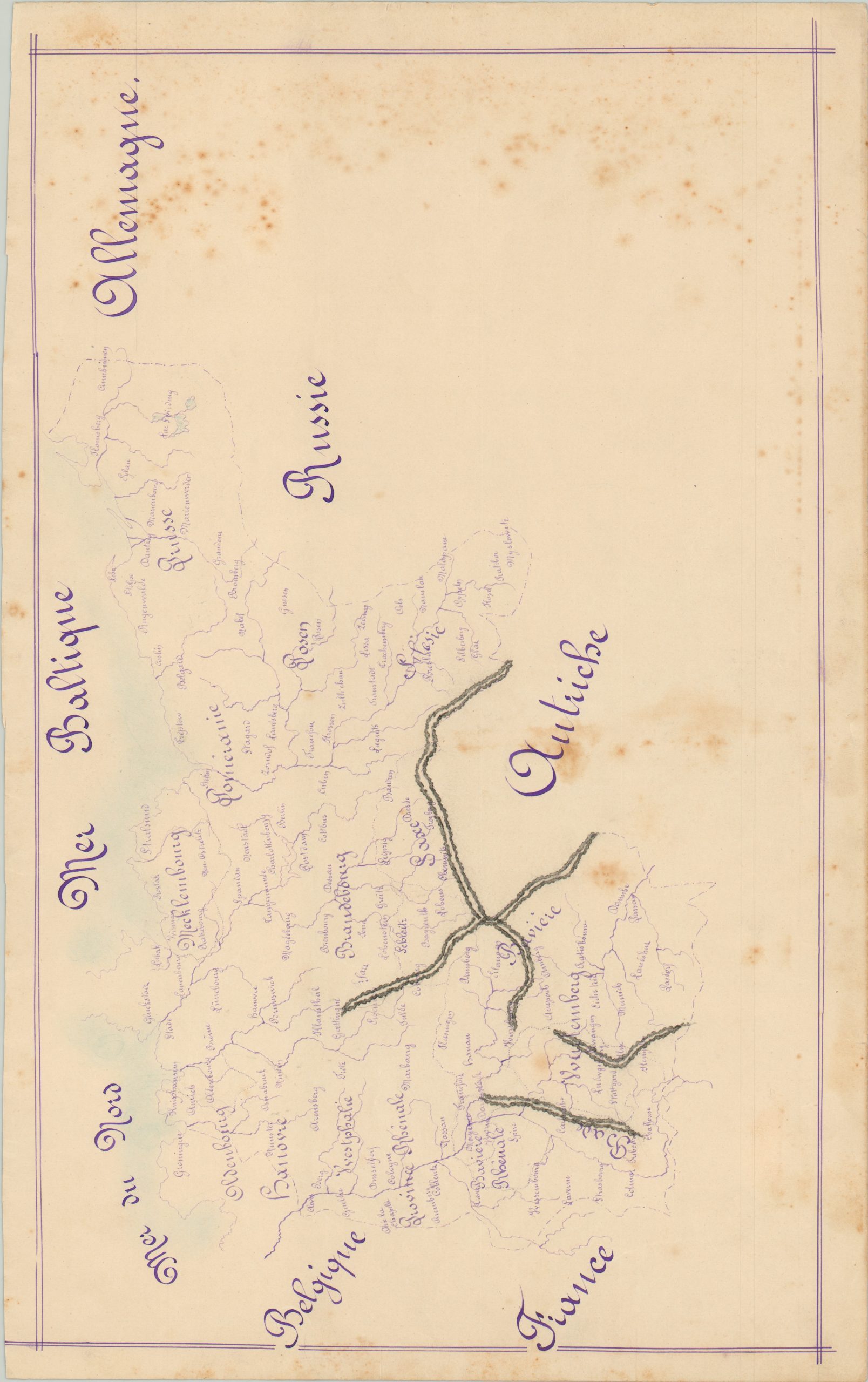
An attractive set of twelve French manuscript maps covering areas around the globe.
1 in stock




Description
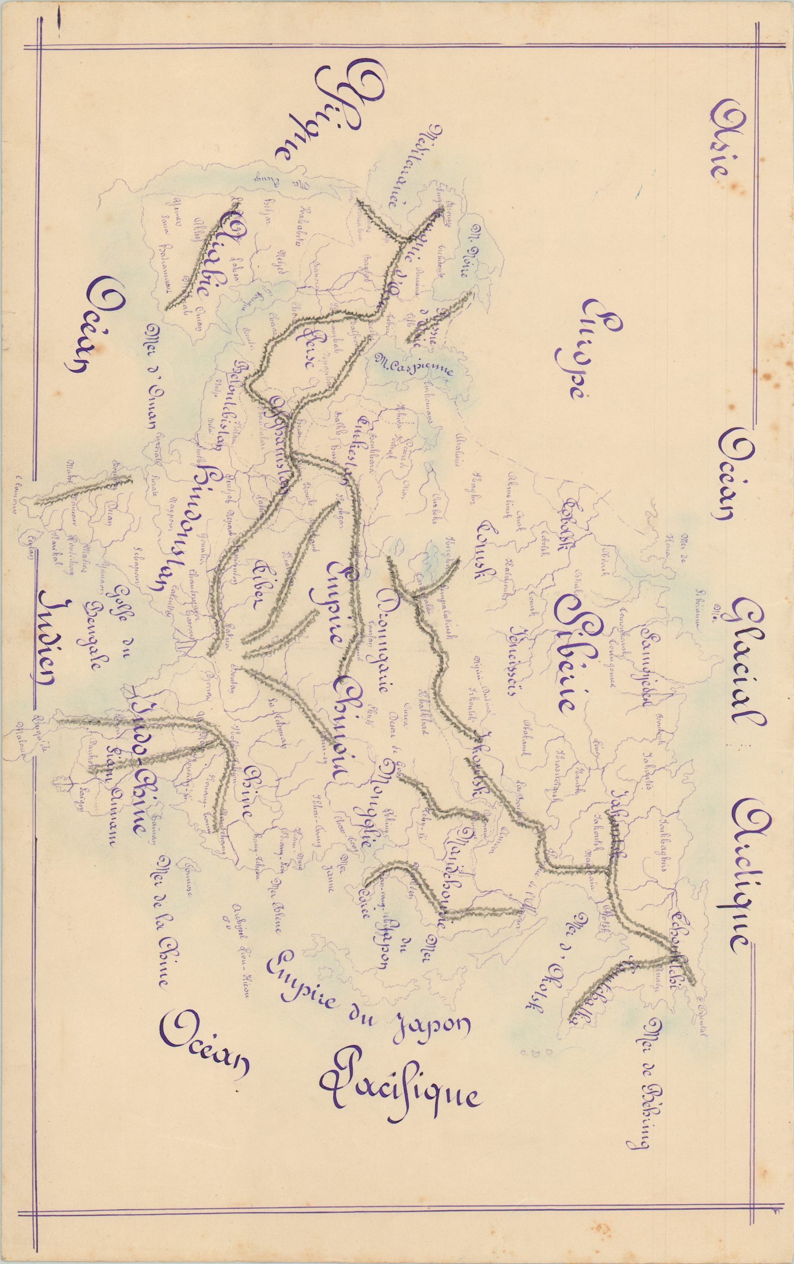
This is a group of 12 maps drawn on six double sided pages – likely as a student geography project. Executed in purple ink, with washes of pale blue along coastlines, and black on mountain ranges (topography is shown in hachure) . Each map is enclosed with double-ruled borders; captions are accomplished in beautiful calligraphy.
Maps measure either 16″ x 10″ or in oblong format, 10″ x 16.” From geographic evidence in Germany, Italy, and Africa, these maps are likely dated around 1860, or perhaps slightly earlier. Text in French. Price is for the set.
Geographic regions include:
Africa with opposite side showing North America
Sweden, Norway and Denmark with opposite side showing Russia
Turkey in Europe and Greece with opposite side showing Asia
Holland and Belgium with opposite side showing Switzerland
Germany with opposite side showing Austria
Map Details
Publication Date: c. 1860
Author: Anonymous
Sheet Width (in): 11.00
Sheet Height (in): 17.30
Condition: A-
Condition Description: Most sheets have some minor scattered foxing and edge wear. More moderate foxing visible on the Austria/Germany sheet and along the top of Holland. All remain in good or better condition, with fine script and faint wash color.
$175.00
1 in stock