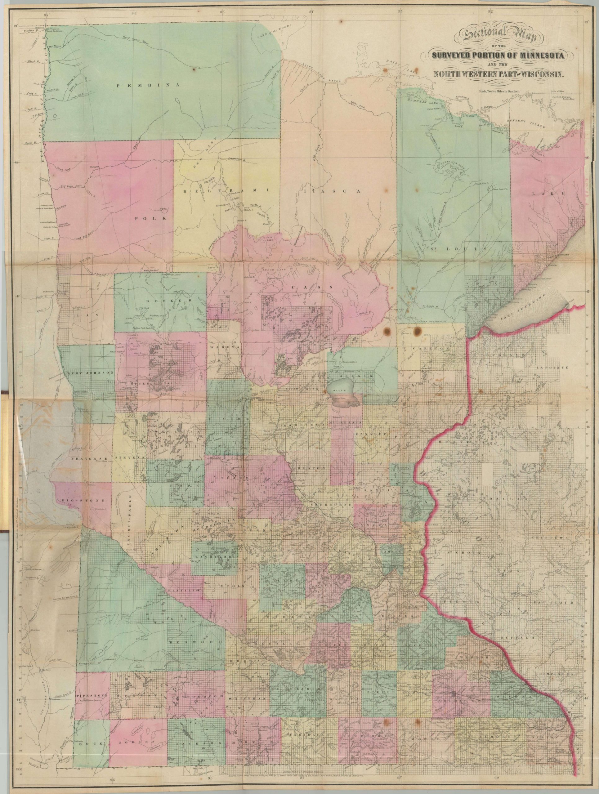
Sectional Map of the Surveyed Portion of Minnesota and the North Western Part of Wisconsin
$900.00
Detailed map of Minnesota showing survey progress on the eve of statehood.
Description
Events in Europe in the middle of the 19th century like the Great Famine and the Revolutions of 1848 brought waves of emigrants across the Atlantic to settle in the United States. In addition to establishing themselves in tightly knit communities along the East Coast, many Europeans chose to settle on American’s frontier – the Midwest as it’s known today. Surveying and sale of the lands acquired from the Louisiana Purchase and victory in the Mexican-American War proceeded post haste.
This 1860 map of the Minnesota territory shows the progress made thus far, and offers an interesting juxtaposition of “civilized” lands under survey and the relatively unknown lands of the far north. Towns and settlements are concentrated largely along navigable waterways or near historically important fortifications, and the presence of Native American towns and agencies reflect the significant population of indigenous people that lived there. Treaty lines and reservations allude to the ongoing process of acquiring native lands for white settlement, which would erupt in the Dakota War a few years after publication.
To give you an idea of how quickly this process of forced removal could occur, take the example of St. Cloud. The town is the northernmost point reached by the railroad on the map. Minnesota was first organized as a territory in 1849, and in 1851 negotiations with the Winnebago opened the area for settlement. The first white resident moved there the following year, and in 1854 the first survey took place. The town was incorporated two years later, in 1856, and the following year, the railroad arrived. From native territory scarcely visited by white men to a thriving town of over 300 residents in a period of less than 8 years! J.S. Sewall was a publisher operating in St. Paul at the time of Minnesota’s statehood in 1858. This is the second state of his map but still reflects the date of first issue – 1857.
Map Details
Publication Date: 1860
Author: J.S. Sewell
Sheet Width (in): 23.90
Sheet Height (in): 32.10
Condition: B
Condition Description: Fold lines as issued, and a narrow margin in the upper right corner. A few small spots of foxing, and minor discoloration from where the map is pasted into the original brown cloth covers.
$900.00

