
Scotland
$50.00
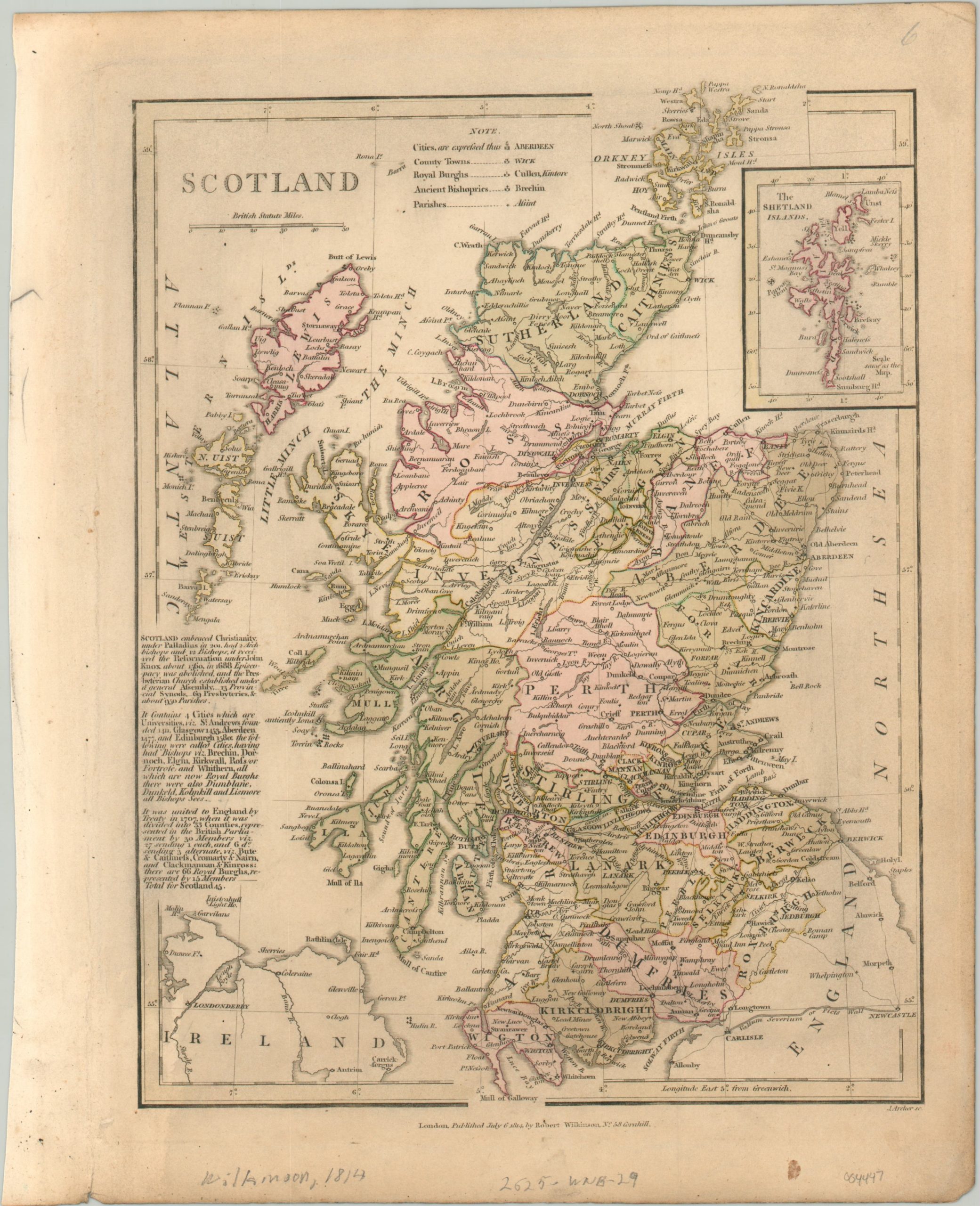
Scotland about a century after its union with England.
1 in stock
Description
This detailed map of Scotland was published in London by Robert Wilkinson in 1814. Original color, applied by hand, identifies the borders of the thirty-three counties. Cities, county towns, royal burghs, ancient bishoprics, and parishes are labeled according to the legend in the upper center.
Geographic features and primary roads are also identified throughout the image. The center-left contains a brief history of Scotland from its embracing of Christianity in 201 A.D. to the 1707 Acts of Union. An inset map in the upper right shows the Shetland Islands.
Map Details
Publication Date: 1814
Author: Robert Wilkinson
Sheet Width (in): 10.6
Sheet Height (in): 13.1
Condition: B
Condition Description: Moderately soiled throughout the sheet and one small spot in the lower right margin. About good condition overall, with original color.
$50.00
1 in stock