[Schematic Routes of the Crimea]
$90.00
A trip across the Crimea in the early 1930’s.
1 in stock
Description
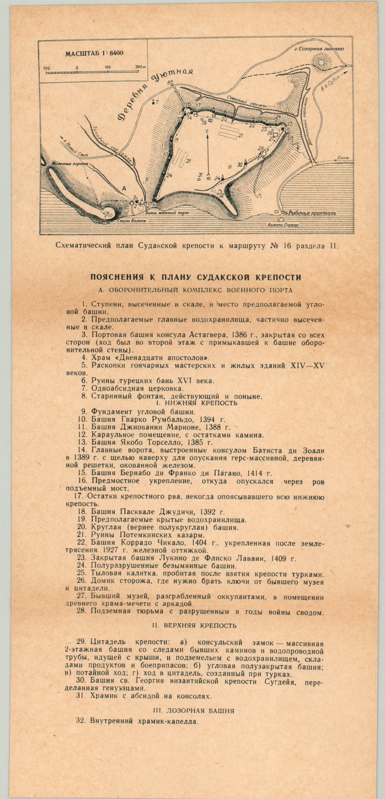
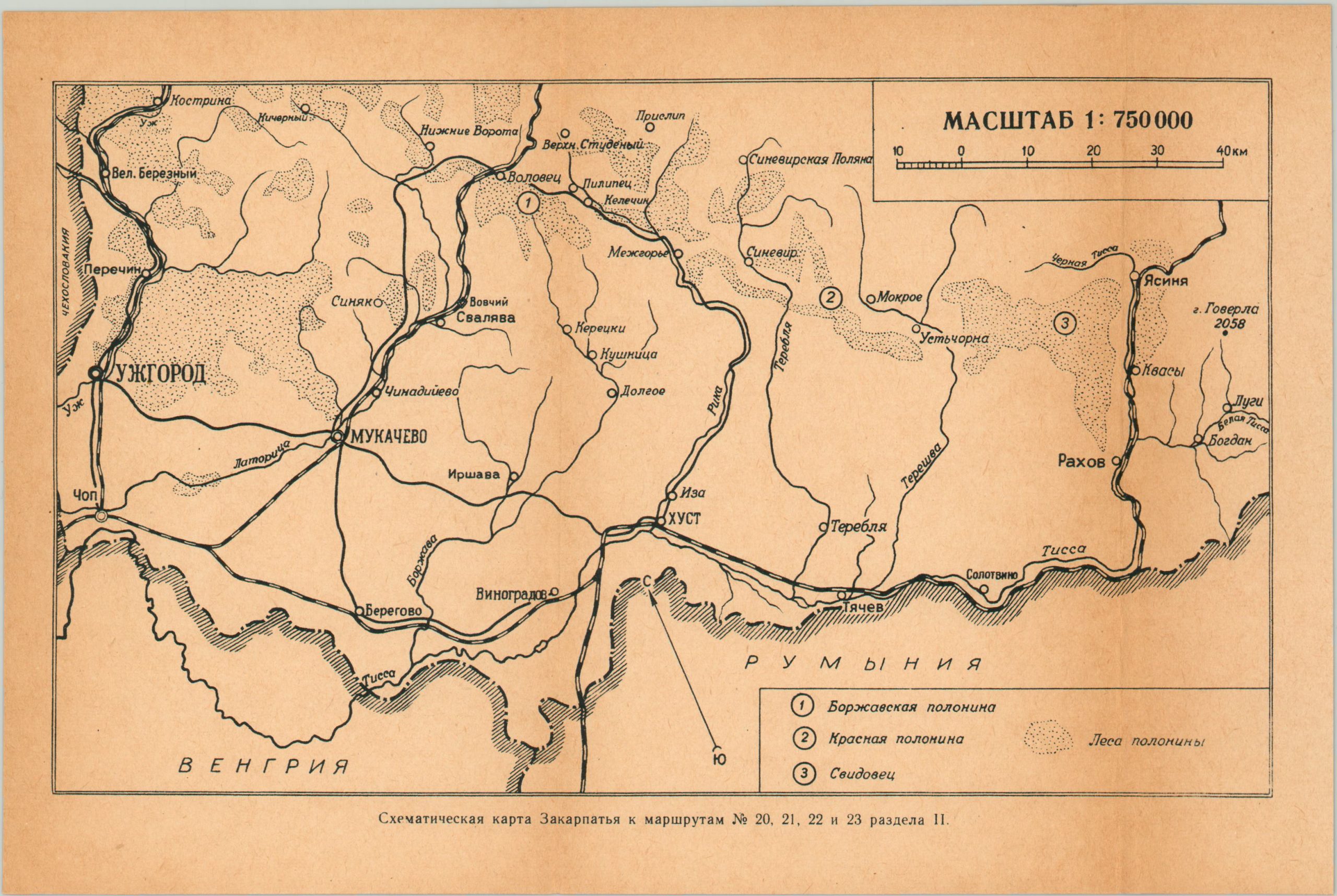
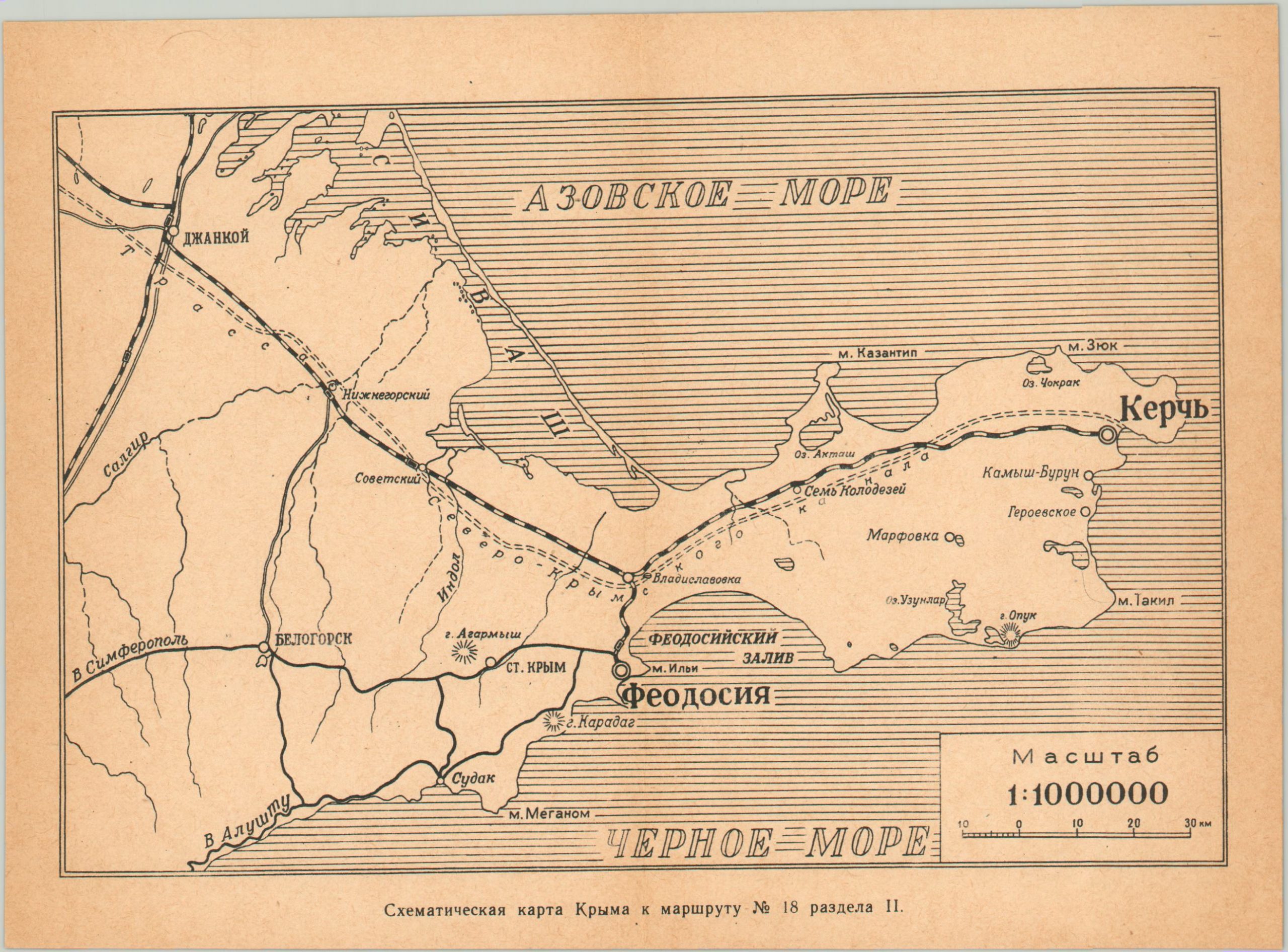
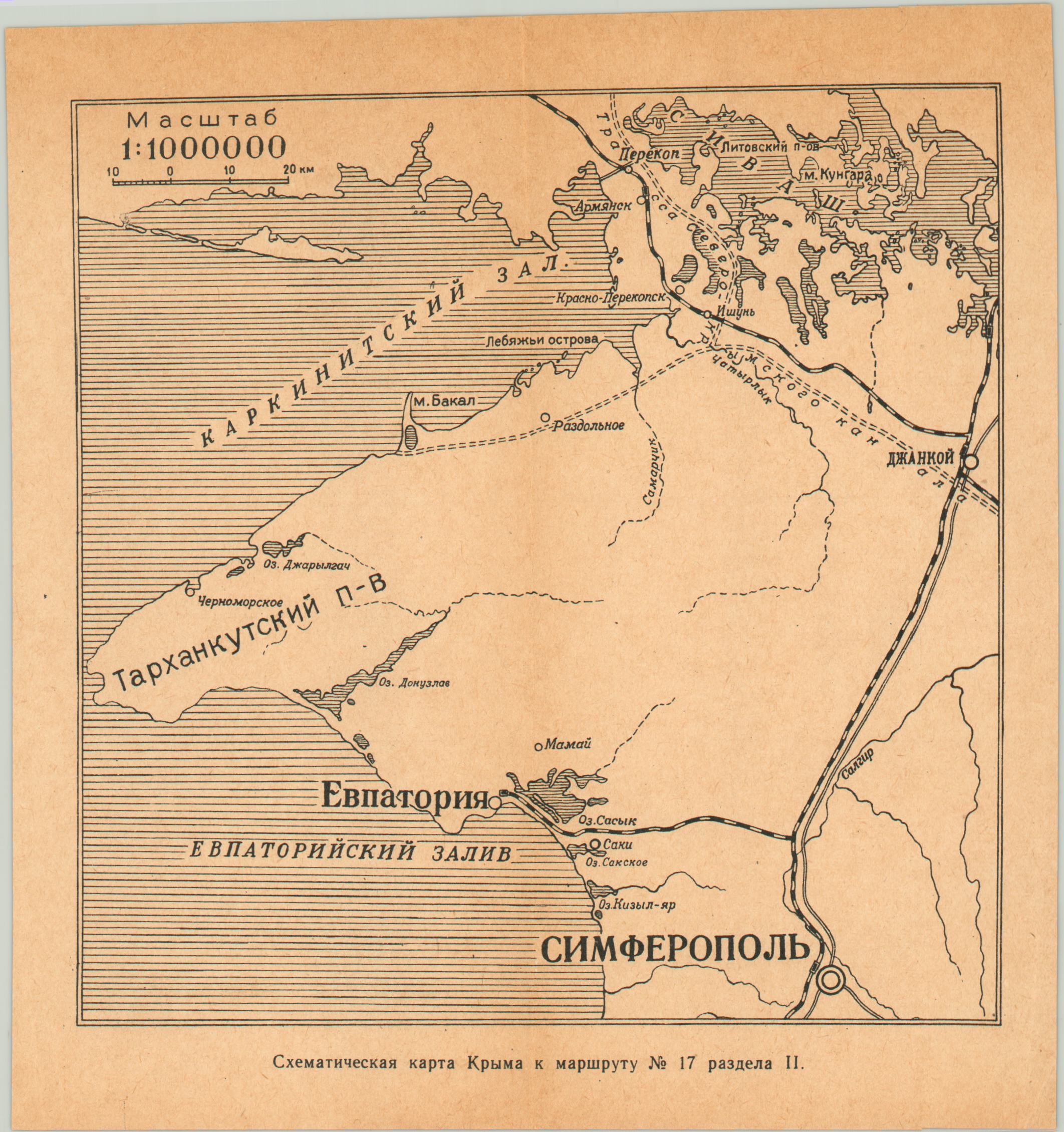
This interesting collection of what appear to be regional road maps are variously titled “Schematic Maps of the Crimea” and depict various routes in operation across the Ukraine. Fifteen separate sheets locate the primary roads and railroads within each, including the region around Kiev and several notable landmarks such as the Genoese fortress at Sudak.
Based on the areas depicted and the information contained therein, it’s likely these sheets were issued as part of a group promoting automobile tourism in the U.S.S.R.
Map Details
Publication Date: c. 1930?
Author: Anonymous
Sheet Width (in): See Description
Sheet Height (in): See Description
Condition: A-
Condition Description: Assorted collection of 15 road maps covering a variety of landmarks and regions across the Crimea. Maps range in size from 4.5" x 4.5" to 11" x 13.25" and are moderately toned, consistent with age. Creased along former fold lines, which often show minor discoloration. Includes original envelope.
$90.00
1 in stock


