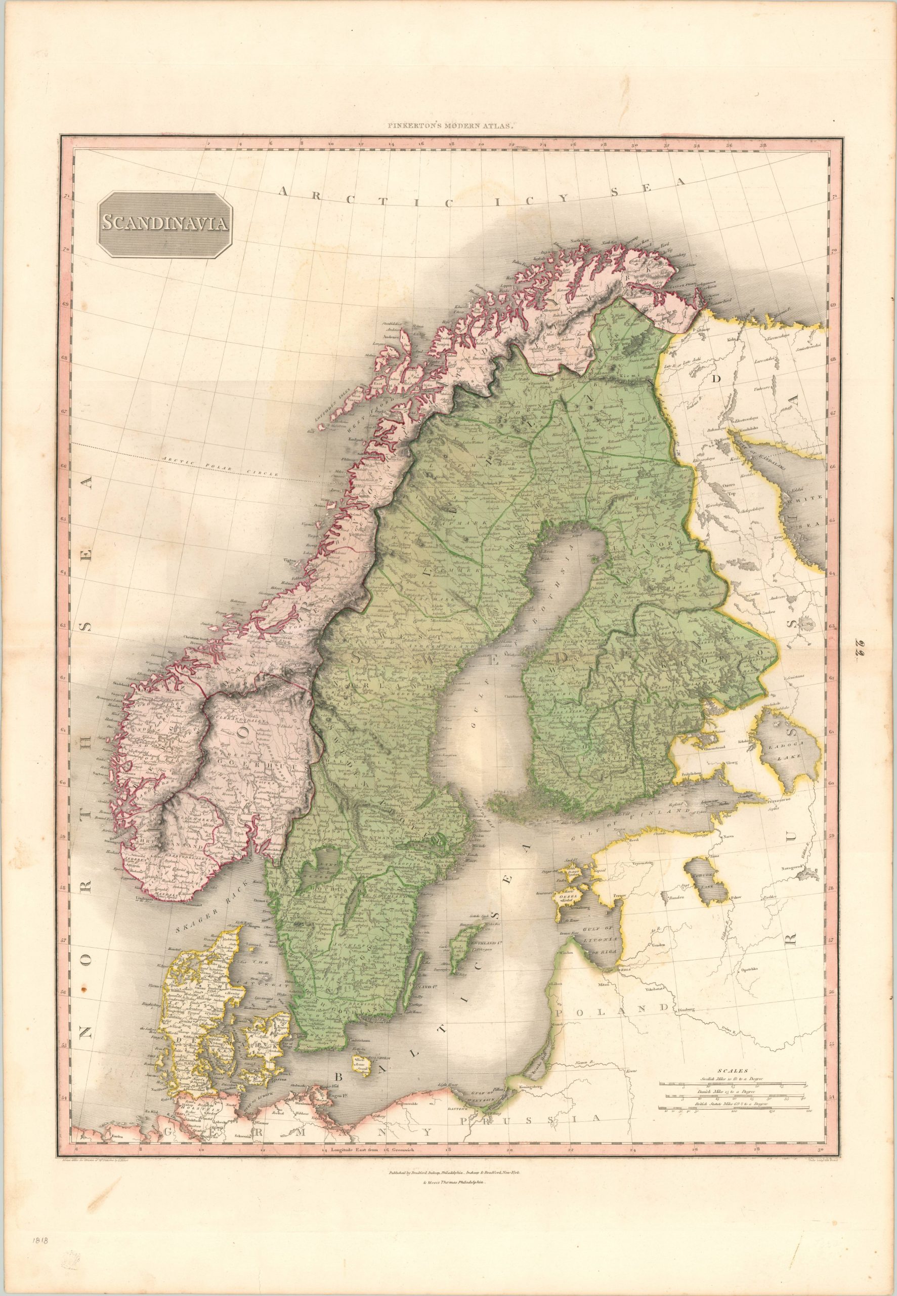
Scandinavia
$250.00
An impressive hand colored map of Scandinavia by John Pinkerton.
1 in stock
Description
This highly executed copperplate engraved map shows the political outlines and geographic details of Sweden, Norway and Denmark. Notice that Finland is not yet an independent entity, though it was offered some degree of autonomy by the adjacent Russian Empire (as a way to encourage defection from Sweden).
Another point of interest is the inclusion of Poland on the continent, despite it ‘officially’ ceasing to exist after its third partition in 1795. Possibly a reflection on the opinions of the map’s creator? The map was originally designed by Scottish cartographer John Pinkerton.
As part of the Edinburgh School of Cartography (which included the likes of John Cary and John Thomson), Pinkerton was responsible for creating some of the most highly detailed and precise atlas maps of the early 19th century. Today, his maps are prized for their size, color, and wealth of information. This particular example was included in the American edition of Pinkerton’s Modern Atlas, published in Philadelphia by Bradford Inskeep and Moses Thomas.
Map Details
Publication Date: 1818
Author: John Pinkerton
Sheet Width (in): 22.40
Sheet Height (in): 32.60
Condition: B+
Condition Description: A few areas of faint darkening within the image, most visible near the left side of the sheet. Scattered spotting in the margins, with one small stain in the lower left corner of the image. Original hand color.
$250.00
1 in stock

