[Salmon Fishing at Point Roberts, Washington]
Documenting the salmon production in the Pacific Northwest during the late 19th century.
Out of stock
Description
This interesting group of maps and photographic plates was originally created by the United States Fish Commission in 1899 for inclusion in a Congressional report published in Washington, D.C. by the Government Printing Office the following year. The U.S.F.C. was directly involved in promoting and protecting the interests of salmon fisheries and canneries in the Pacific Northwest, both from an economic and conservation perspective.
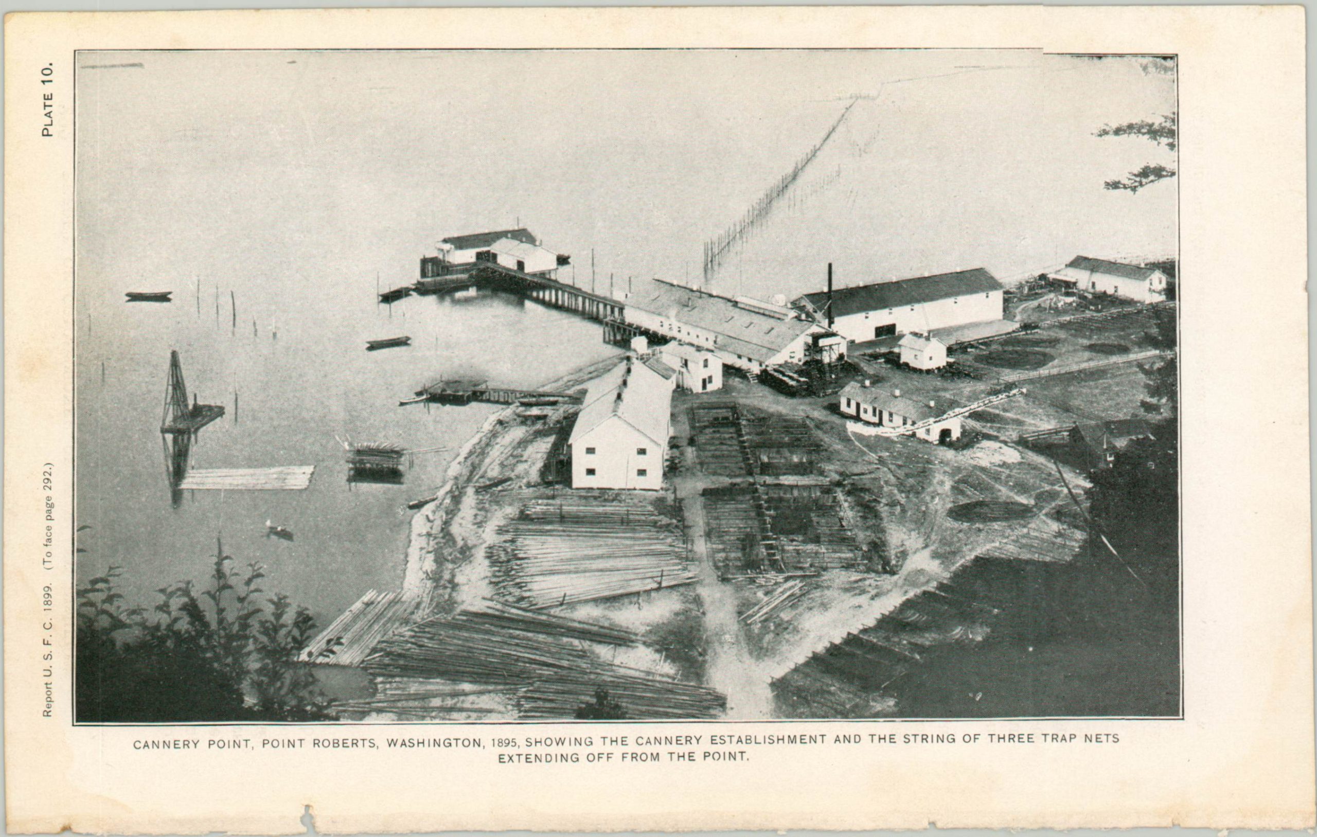
One folding map shows the location of the various salmon trap nets (an effective, yet destructive form of fishing) at Point Roberts, Washington, a U.S. enclave just south of Vancouver. Six other smaller maps show outlines of the Fish Commission properties at Nashua Station (New Hampshire), Erwin Station (Tennessee), Manchester Station (Iowa), San Marcos Station (Texas), Spearfish Station (South Dakota), and Bozeman Station (Montana). The two plates show images of Cannery Point at Point Roberts and the removal of salmon from a trap net.
Map Details
Publication Date: 1900
Author: United States Fish Commission
Sheet Width (in): See Description
Sheet Height (in): See Description
Condition: A-
Condition Description: Loose collection of two lithographic plates and seven folding maps rescued from a busted and incomplete Congressional volume. Very good condition overall, with a ragged binding edge and minor toning, consistent with age.
Out of stock


