Saigon
$275.00
Saigon the year after the Tet Offensive.
1 in stock
Description
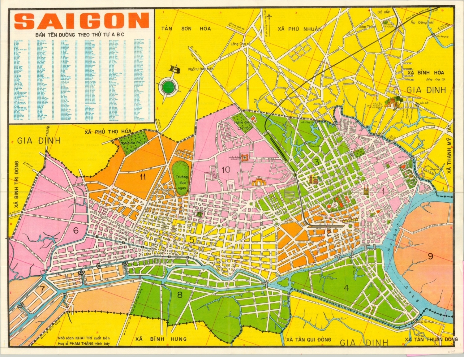
This colorful map of Saigon, known today as Ho Chi Minh City, was published near the height of the Vietnam War in 1969. The year prior, Viet Minh and North Vietnamese Armies launched the Tet Offensive, and United States troop counts were near their highest at any point during the entire duration of the war.
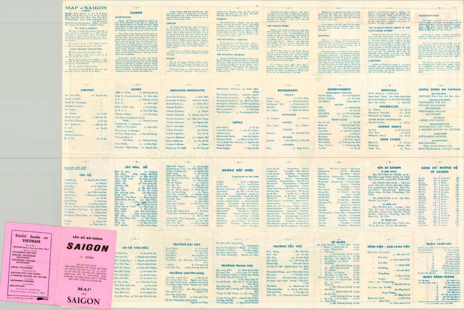
The image presents a clearly legible street plan that identifies local transportation routes, parks, and bridges. Notable landmarks are individually illustrated, and an alphabetical index of points of interest ranging from shops to churches is provided in the upper left. The verso includes useful information for travelers (and soldiers on leave) in both English and Vietnamese.
Dated 1966 in the lower right corner of the verso, but the covers show dated revisions to 1969. Created by Phan Thang and published in Saigon by the Khai-Tri Bookshop.
Map Details
Publication Date: 1969
Author: Pham Thang
Sheet Width (in): 25.20
Sheet Height (in): 19.60
Condition: A
Condition Description: Pocket map folded into 24 segments and affixed to bright pink paper covers. Creasing along fold lines and the wrappers are a bit worn, consistent with age. Very good to near fine overall.
$275.00
1 in stock


