
Russiae, Moscoviae et Tartariae descriptio
An early, striking map of Russia published in the first modern atlas.
Out of stock
Description
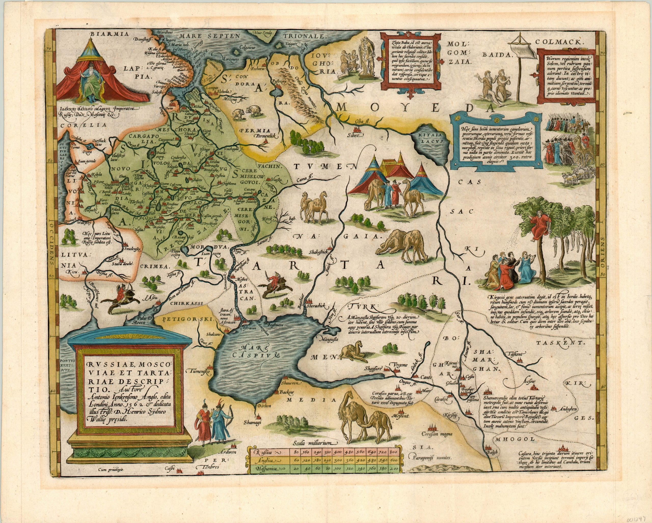
This eye-catching map of the Asian continent east of the Black Sea comes to us courtesy of Abraham Ortelius, the 16th century cartographer best known for creating what is considered the world’s first truly modern atlas, the Teatrum Orbis Terrarum. Ortelius based his work off an earlier map created by Anthony Jenkens, a trader with the Muscovy Company of London who was one of the first Europeans to travel extensively throughout Russia.
Despite his firsthand experience, the geographic information present is suspect at best, and the real focus of the image is on the numerous vignettes and illustrations lifted directly from Jenkens and based loosely on the works of Marco Polo. Galloping Cossacks, Mongol horsemen, herds of camels and costumed locals can be seen among more interesting scenes of Kirgessen priests ministering their flock (center right) and Ivan the Terrible seated at his throne (upper left).
The map was first issued in 1570, but this particular example appeared in the 1603 version of the Teatrum Orbis Terrarum, published in Antwerp. Latin text, including page # 107, on the verso.
Map Details
Publication Date: 1603
Author: Abraham Ortelius
Sheet Width (in): 20.25
Sheet Height (in): 16.10
Condition: A
Condition Description: In very good to near fine condition, with lovely hand color on a strong, clean sheet. Light matte burn around the outer edges confined to the margins. Very faint wear along the centerfold and one small spot of foxing above the second A in Tartaria.
Out of stock