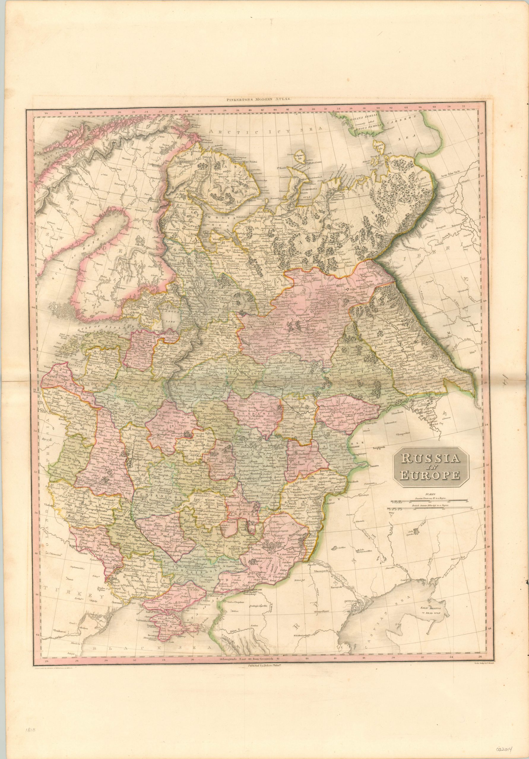
Russia in Europe
$250.00
Russia’s territorial claims in Europe after the Congress of Vienna.
1 in stock
Description
The threat of Napoleon loomed large over Europe in the opening years of the 19th century. It wasn’t until his retreat from Russia in 1812 that the political tides on the continent turned permanently against ‘The Little Corporal.’ After his final defeat in 1814, Russia received just compensation at the Congress of Vienna, which expanded its territory greatly in the west (at the expense of the former Duchy of Warsaw).
The resulting borders are shown in great detail on this hand colored copperplate engraved map issued from 1818. Russia’s Empire in Asia can be seen to the east, separated from Europe by the Ural Mountains, Volga River and Don River. To the west is the ever present threat of the Ottoman Empire, as well as the short lived Congress of Poland – yet another casualty to the Tsar’s imperial ambitions later in the century.
The map was originally designed by Scottish cartographer John Pinkerton. As part of the Edinburgh School of Cartography (which included the likes of John Cary and John Thomson), Pinkerton was responsible for creating some of the most highly detailed and precise atlas maps of the early 19th century. Today, his maps are prized for their size, color, and wealth of information. This particular example was included in the American edition of Pinkerton’s Modern Atlas, published in Philadelphia by Thomas Dobson in 1818.
Map Details
Publication Date: 1818
Author: John Pinkerton
Sheet Width (in): 22.50
Sheet Height (in): 32.00
Condition: A-
Condition Description: Faint discoloration along the vertical centerfold and minor offsetting and scattered spotting visible in the margins. Two small pinholes in the sheet near the bottom half. Very good overall, with original hand color.
$250.00
1 in stock

