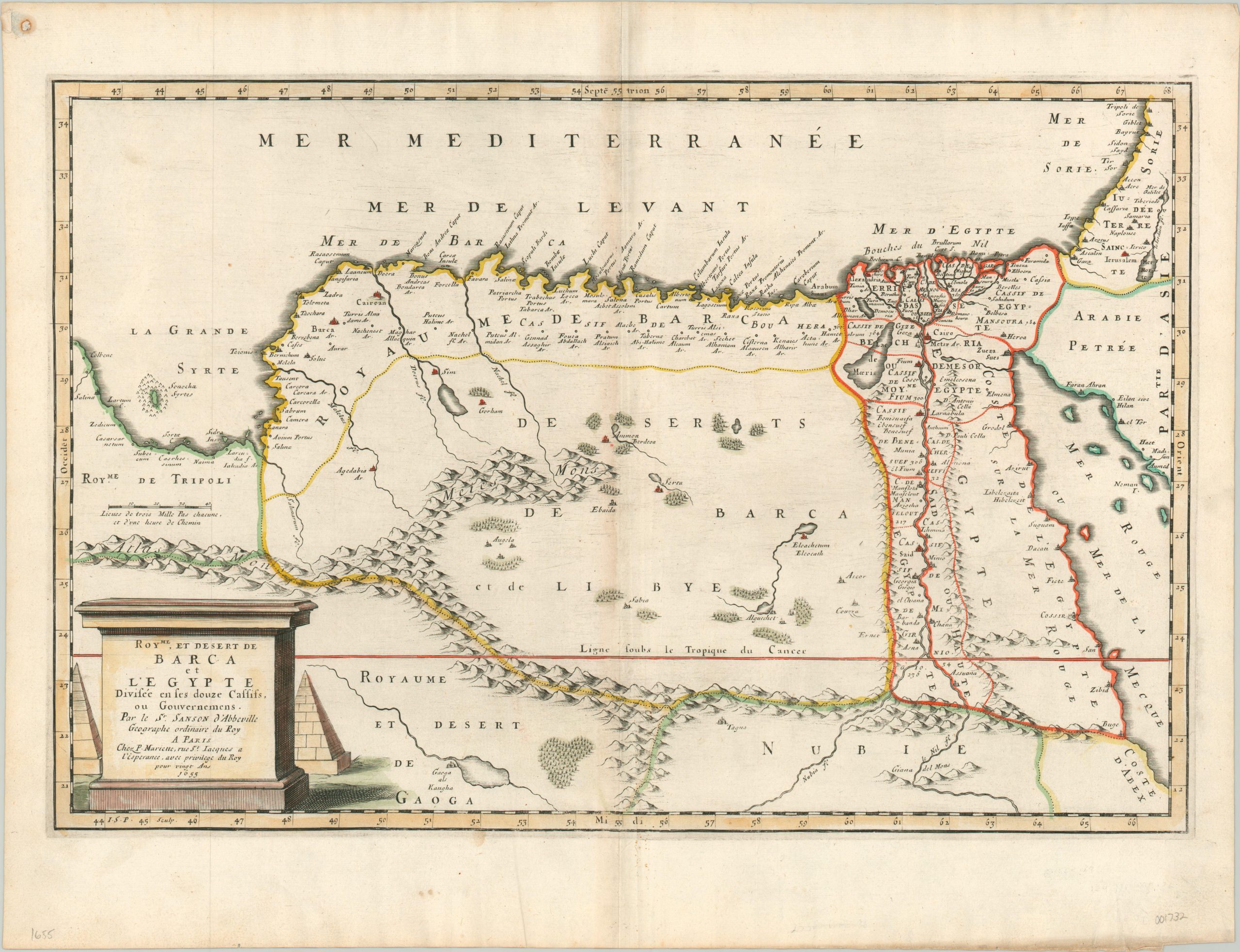
Royaume et Desert de Barca et L’Egypte
$200.00
Attractive mid-17th century map of Egypt issued by the ‘founder of French cartography.’
1 in stock
Description
This lovely copperplate engraved map of Ottoman Egypt was published in Paris by Nicholas Sanson in 1655. The Nile and its expansive delta is depicted in some detail, with cities and towns of various sizes dotting either bank. Hills and scattered forests are depicted pictorially, with the Atlas mountains prominently featured in the west. Portions of Arabia, the Red Sea, and the Holy Land are also included within the image.
A decorative cartouche in the lower right includes the date, cartographer, and title within an architectural base (plinth) and includes two pyramids in the background. These iconic Egyptian landmarks are also noted with small symbols on the map, near Giza.
Map Details
Publication Date: 1655
Author: Nicholas Sanson
Sheet Width (in): 22.00
Sheet Height (in): 16.80
Condition: A-
Condition Description: Minor discoloration and wear along centerfold and issue on somewhat thin paper. Otherwise in excellent condition, with attractive hand color.
$200.00
1 in stock

