
Routes to Death Valley and Grand Canyon
$95.00
The roads around Las Vegas during the early 1940s.
1 in stock

Description
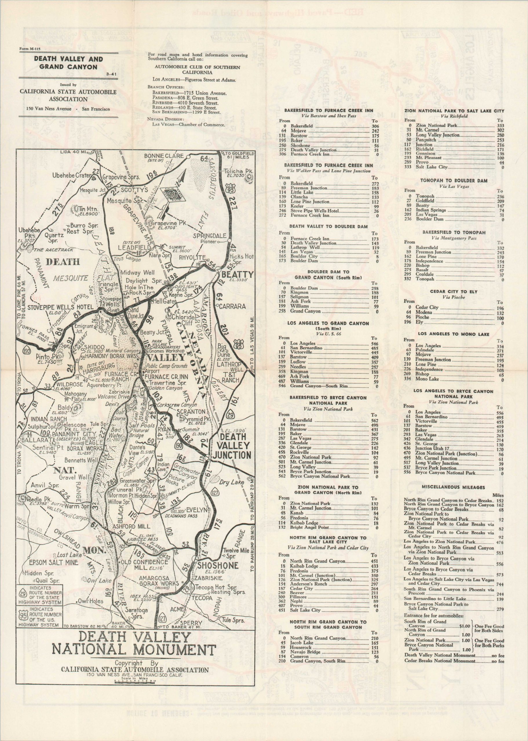
This effective road map of a large area around Las Vegas was published in 1941 by the California State Automobile Association. Numerous attractions including Lake Mead, Death Valley, Joshua Tree, and the Grand Canyon are labeled amid a robust network of available driving routes. Paved highways and oiled roads – comfortable and reliable surfaces for most automobiles – are highlighted in red. Distances between points are noted, along with local time changes, elevation data, and more.
The verso presents several different itineraries with accompanying mileage, as well as a large-scale map of Death Valley National Monument. The map was one of numerous references published and distributed by the CSAA. A rubberstamp in the lower right indicates this example was issued by the San Francisco office.
Map Details
Publication Date: 1941
Author: California State Automobile Association
Sheet Width (in): 18.4
Sheet Height (in): 13.1
Condition: A-
Condition Description: Double-sided map, creased along originally issued fold lines. Manuscript annotations in pencil and blue ink. Rubberstamp in the lower right. Very good condition overall.
$95.00
1 in stock