
Romer and Flynn’s Shoals New York Bay
$75.00
The shifting front door to New York Harbor in the mid 1850s.
1 in stock
Description
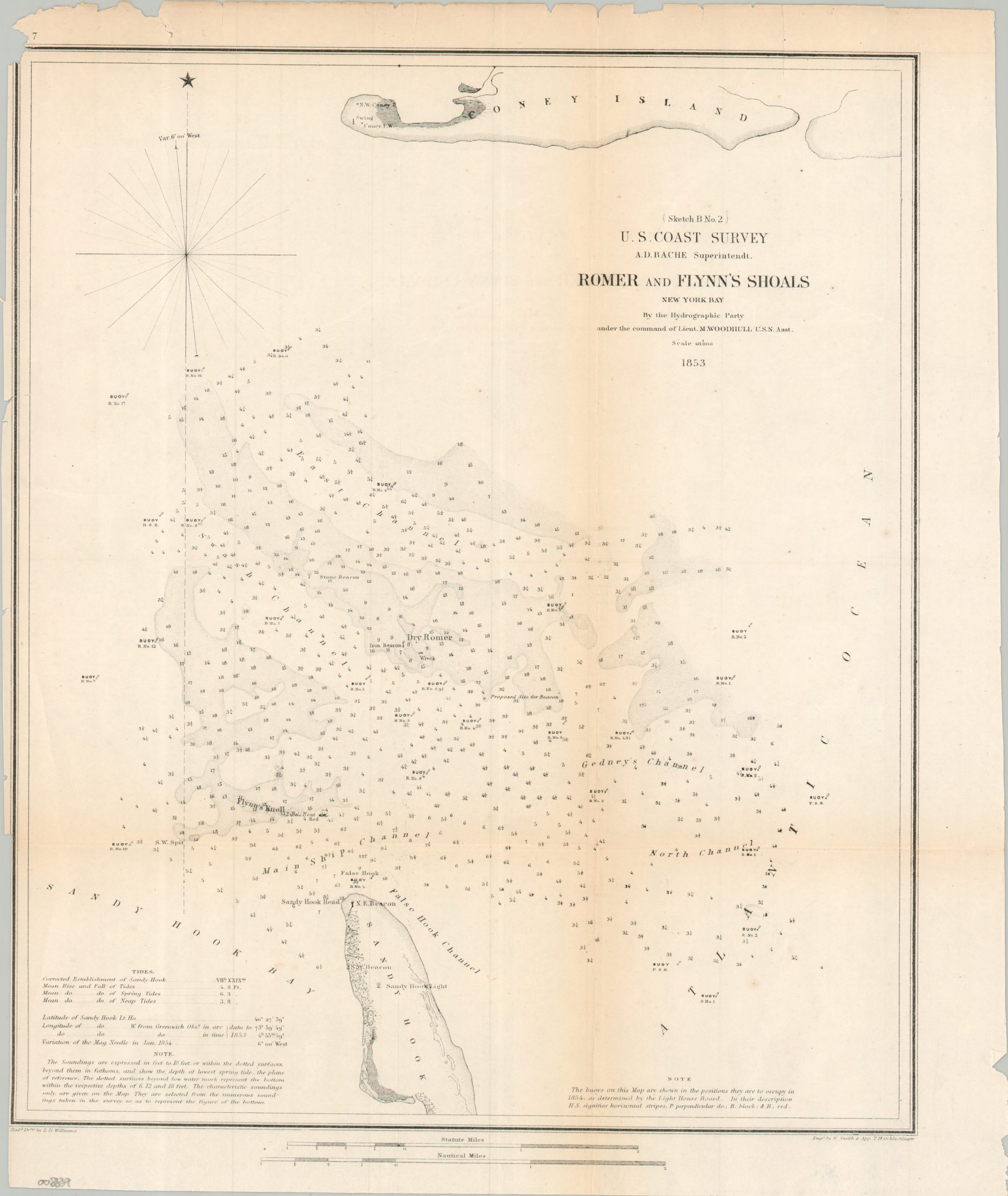
This uncommon nautical chart highlights two of the most treacherous navigational hazards on the approaches to New York Harbor – Romer and Flynn’s Shoals. The safe passages amid the constantly shifting sandbars are marked with buoys and at least one lightship, though the proposed site for a beacon indicates further maritime guidance may be necessary. Depth soundings are noted throughout, emphasizing the deeper shipping channels amid the shallow shoals.
The map was published by the U.S. Coast Survey in 1854, under the influential leadership of Alexander Dallas Bache. Drawing by L.D. Williams, with engraving performed by W. Smith and his apprentice, T.H. Oehlschlager.
Map Details
Publication Date: 1854
Author: U.S. Coast Survey
Sheet Width (in): 13.40
Sheet Height (in): 15.90
Condition: B
Condition Description: Trimmed margins and moderate wear/creasing along old folds, including some toning and a few splits along the edges of the sheet. About good condition overall.
$75.00
1 in stock