
Roman Empire in Europe and Asia Showing the Travels of St. Paul Map of Bible Lands from Egypt to Persian Gulf
$145.00
Mapping the Biblical history of the First Century.
1 in stock
Description
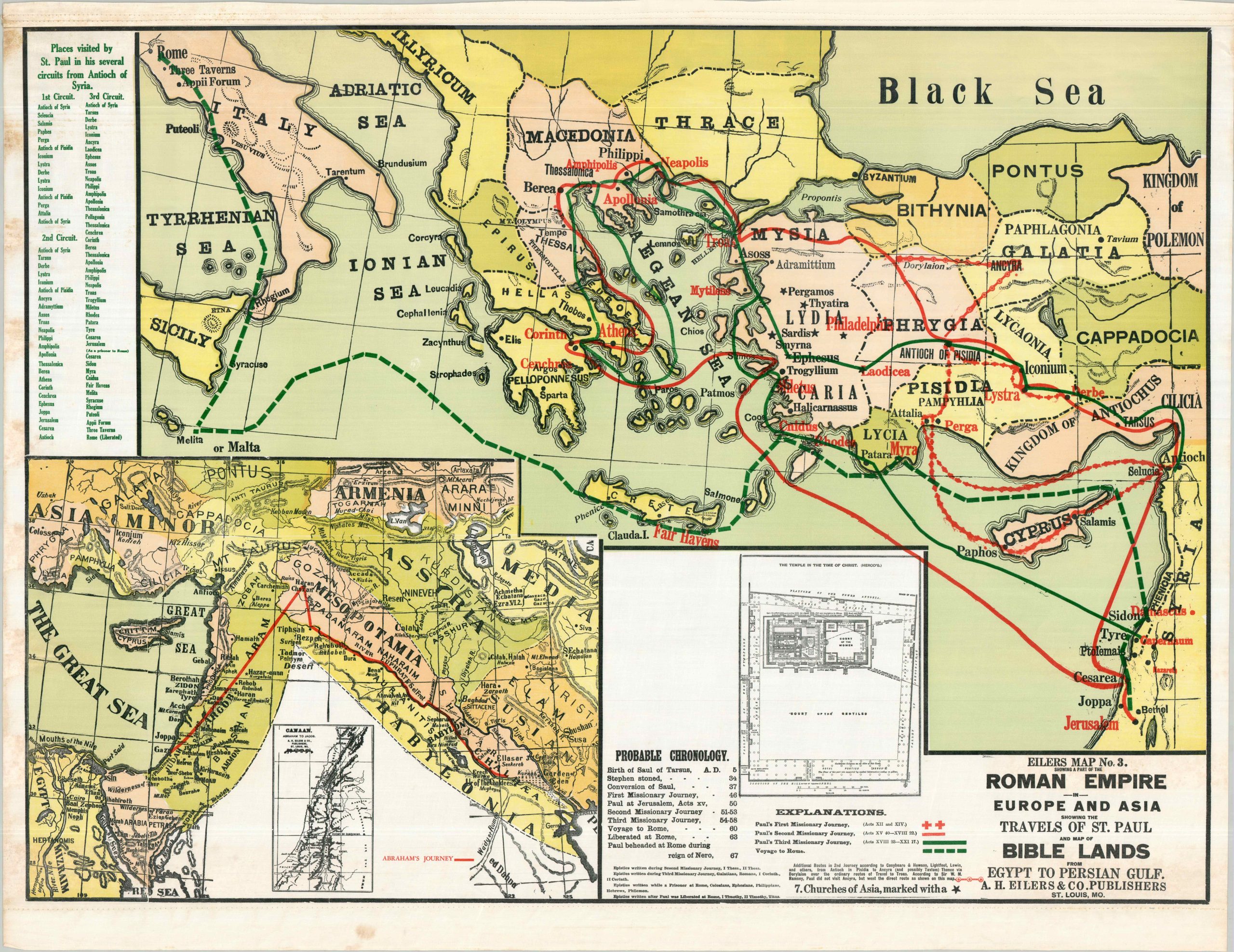
This large and brightly colored composition was designed and issued as a teaching aid for juvenile education on Biblical subjects. The image highlights the extensive evangelical travels of Saint Paul during the first century A.D. According to Biblical sources, the famed apostle traveled approximately 10,000 miles across the Eastern Mediterranean, spreading the word of Jesus Christ everywhere he went.
His three missionary journeys, plus the ‘voyage to Rome’ (i.e., captivity), are shown with different lines and a chronology of his life is presented in the lower center. The map also includes insets showing the travels of Abraham, the Promised Land, and a floor plan of the Temple at the time of Christ.
The undated sheet was published around 1930 by A.H. Eilers & Co. as Map Number 3 in the Eilers Sunday School Wall Map Series. The company was originally established in St. Louis during the early 1870s as a bookseller and stationer, but soon transitioned to the production of material related to Sunday School education in the United States. Eilers produced a number of religiously themed materials, including collection envelopes, marriage certificates, ledgers, and wall maps in a variety of sizes and formats.
Map Details
Publication Date: c. 1930
Author: A.H. Eilers
Sheet Width (in): 36
Sheet Height (in): 46.75
Condition: B+
Condition Description: Color printed map (probably silkscreened) on treated linen. Formerly on wooden rollers, now removed, with binding holes along the upper and lower margins as a result. Moderate toning on the left side, from where previously rolled, and moderate wrinkling and spotting in the lower margin. Good condition overall.
$145.00
1 in stock