Road Maps of America
$90.00
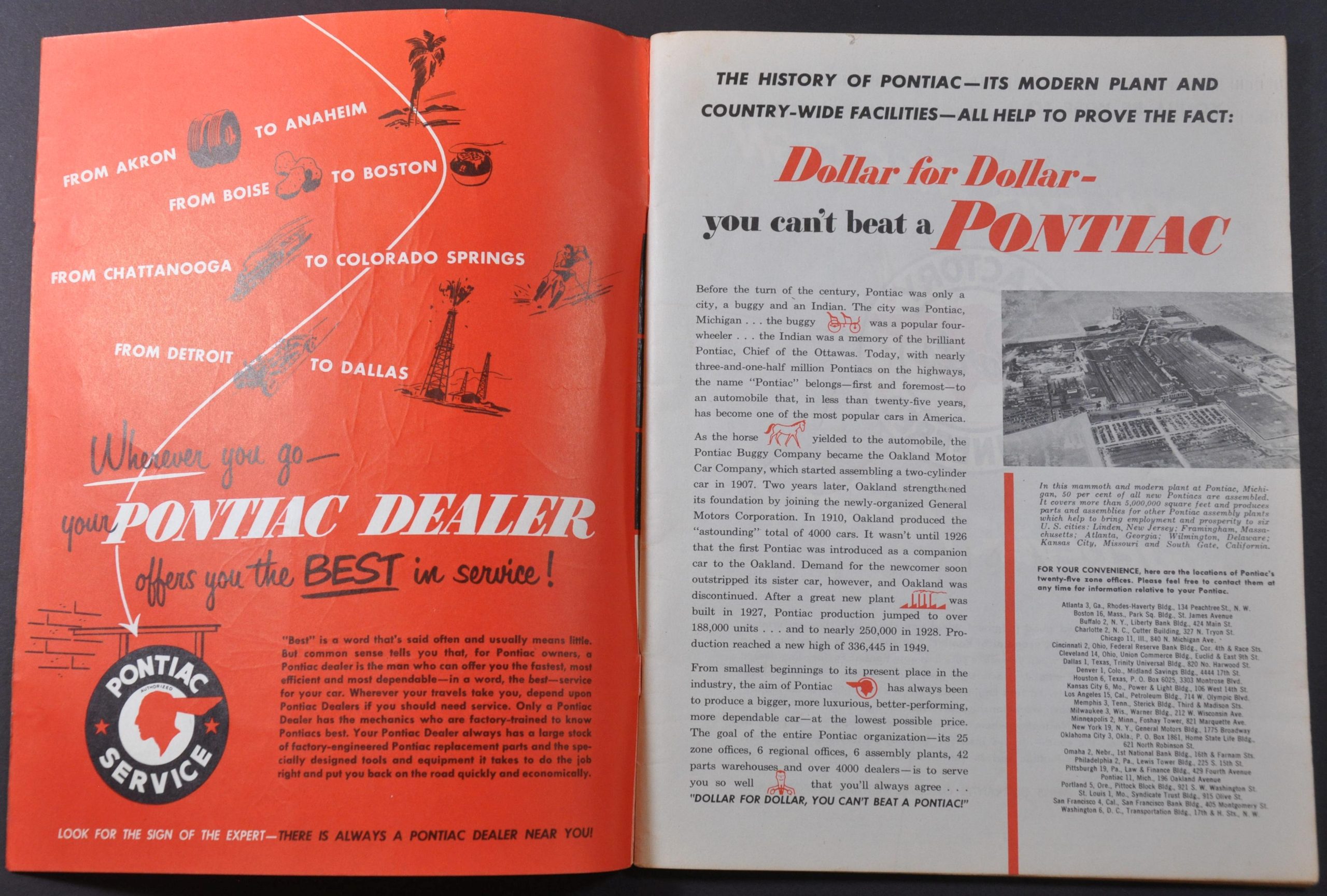
“Before the turn of the century, Pontiac was only a city, a buggy, and an Indian.” [pg. 2]
1 in stock
Description
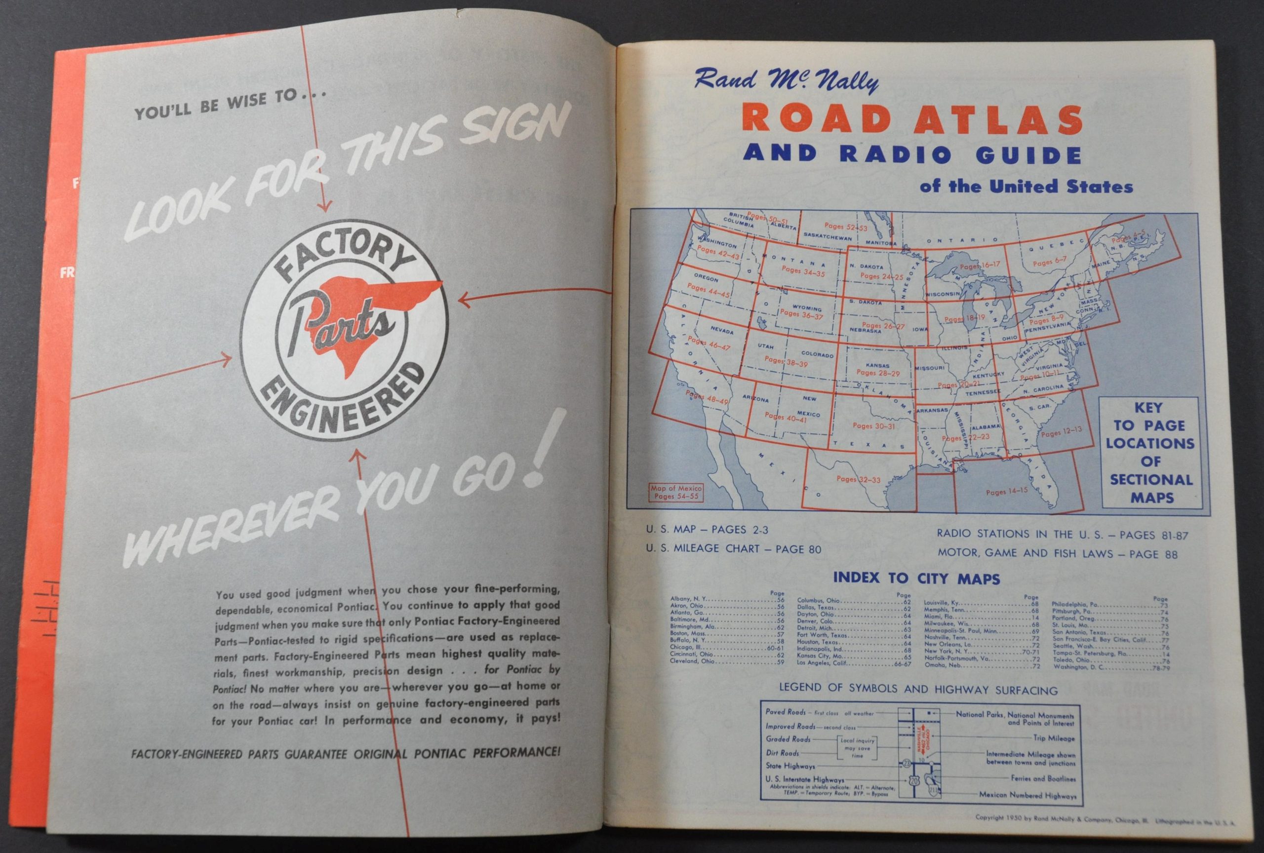
This detailed mid-century road atlas of the United States was published in Chicago in 1950 by Rand McNally on behalf of the Pontiac Corporation. An image of the famous Ottawa chief after which both the company and its origin city in Michigan are named can be seen on the front cover, with additional history of the firm (and the individual) available on the second page.
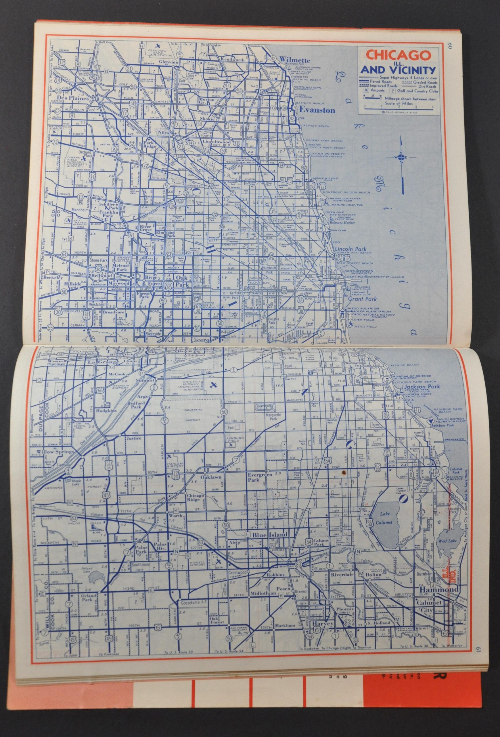
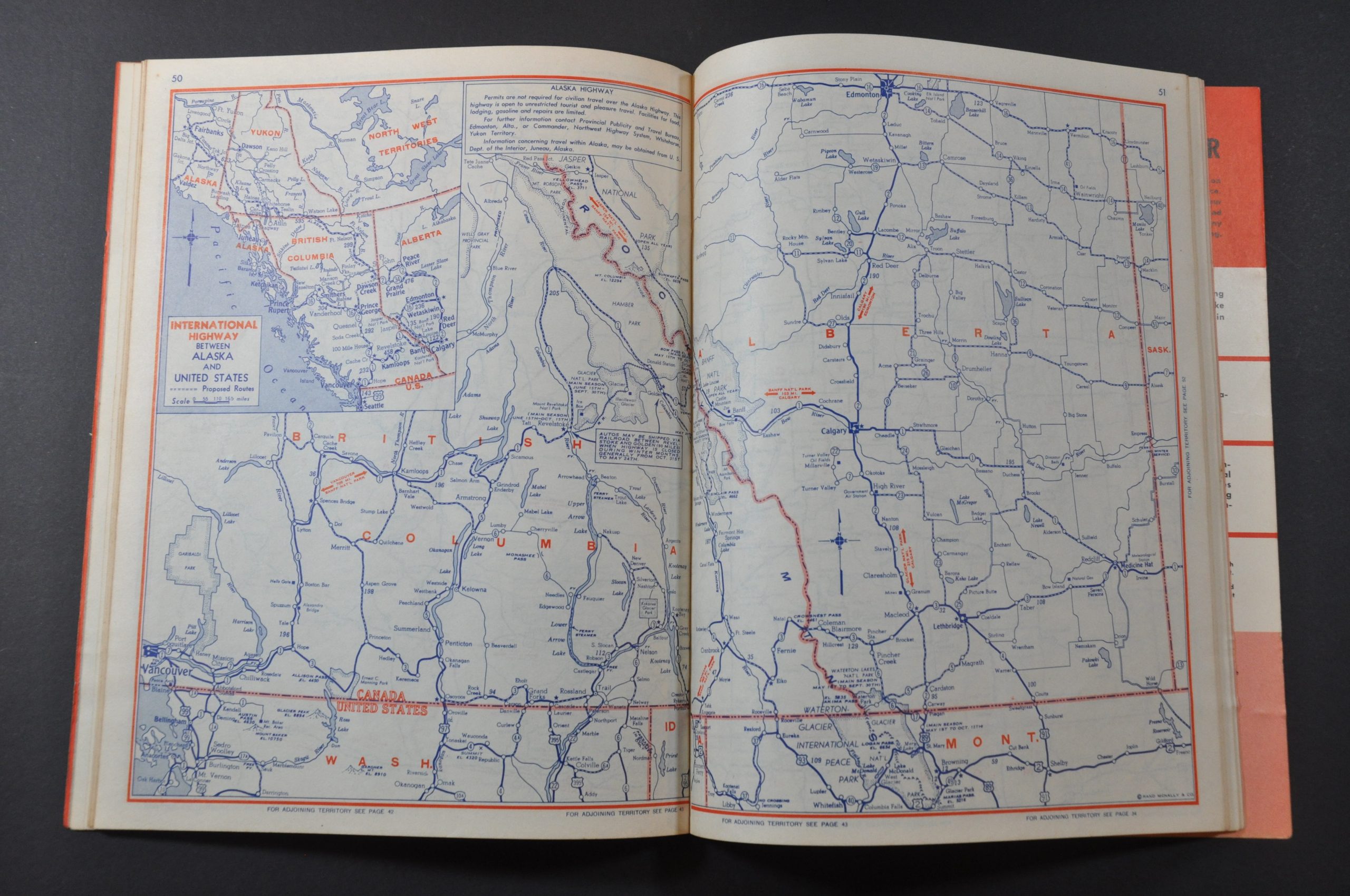
The volume’s 88 pages include road maps of the 48 contiguous states and portions of Canada and Mexico (plus numerous inset city plans), a mileage chart, an index of radio stations, and summaries of motor, fish, and game laws. Advertisements for Pontiac automobiles, authorized parts, and approved optional accessories are also included. Of particular interest in the last category are the in-car electric razor, illuminated compass, turn signals, and windshield wipers!
Map Details
Publication Date: 1950
Author: Rand McNally
Sheet Width (in): 8
Sheet Height (in): 10.5
Condition: A
Condition Description: Complete 88 pp. road atlas with original illustrated paper covers. Light wear on the front and back, including some toning and a small tear. Contents in very good condition. Near fine overall.
$90.00
1 in stock


