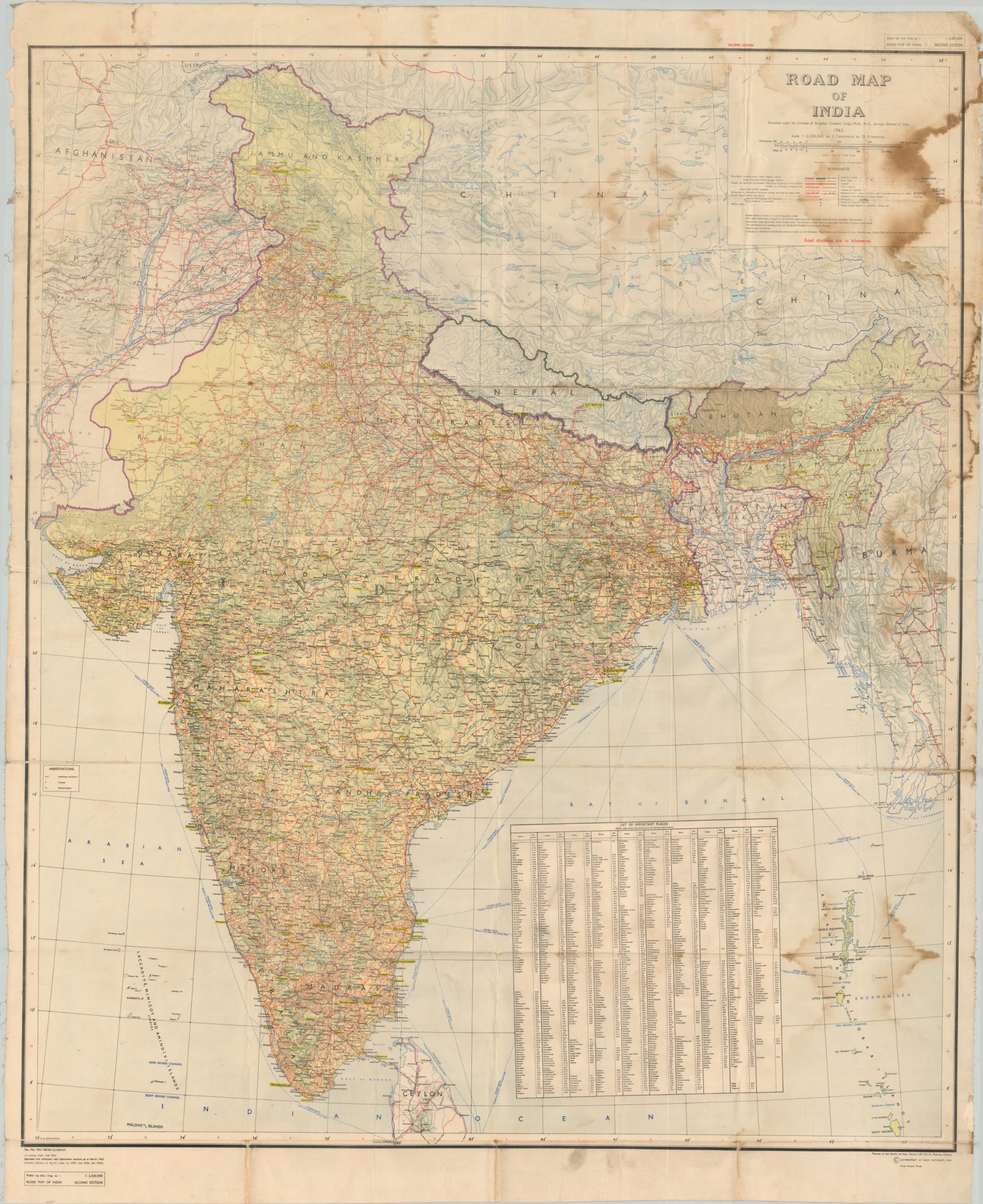
Road Map of India
Developing India’s early national road infrastructure.
Out of stock
Description
This large road map of India is the second edition to be published by the National Surveyor’s Office and shows updates dating to March of 1965, according to the revision table in the lower left. The timing is notable considering the following month, military skirmishes with Pakistan would outbreak, resulting in the Second Kashmir War.
Important routes are highlighted in red, with highways defined between all-weather and fair-weather. Information relevant to motorists like petroleum depots, lodging, and distance markers is also identified by the legend in the upper right. Geographic features, historic sites, steamer routes, and other ‘Tourist Places of Interest’ are also identified.
Map Details
Publication Date: 1965
Author: Gambhir Singh
Sheet Width (in): 47
Sheet Height (in): 57
Condition: C+
Condition Description: Two printed sheets mounted on linen and affixed along a horizontal seam. Moderate wear along fold lines and heavy soiling visible on the verso that affects the image in the upper corners and along the sides. Minor image loss at fold intersections and along fold lines. Fair condition overall.
Out of stock

