
Road Map Nevada Utah
$75.00
The roads of Utah and Nevada during the Great Depression.
1 in stock
Description
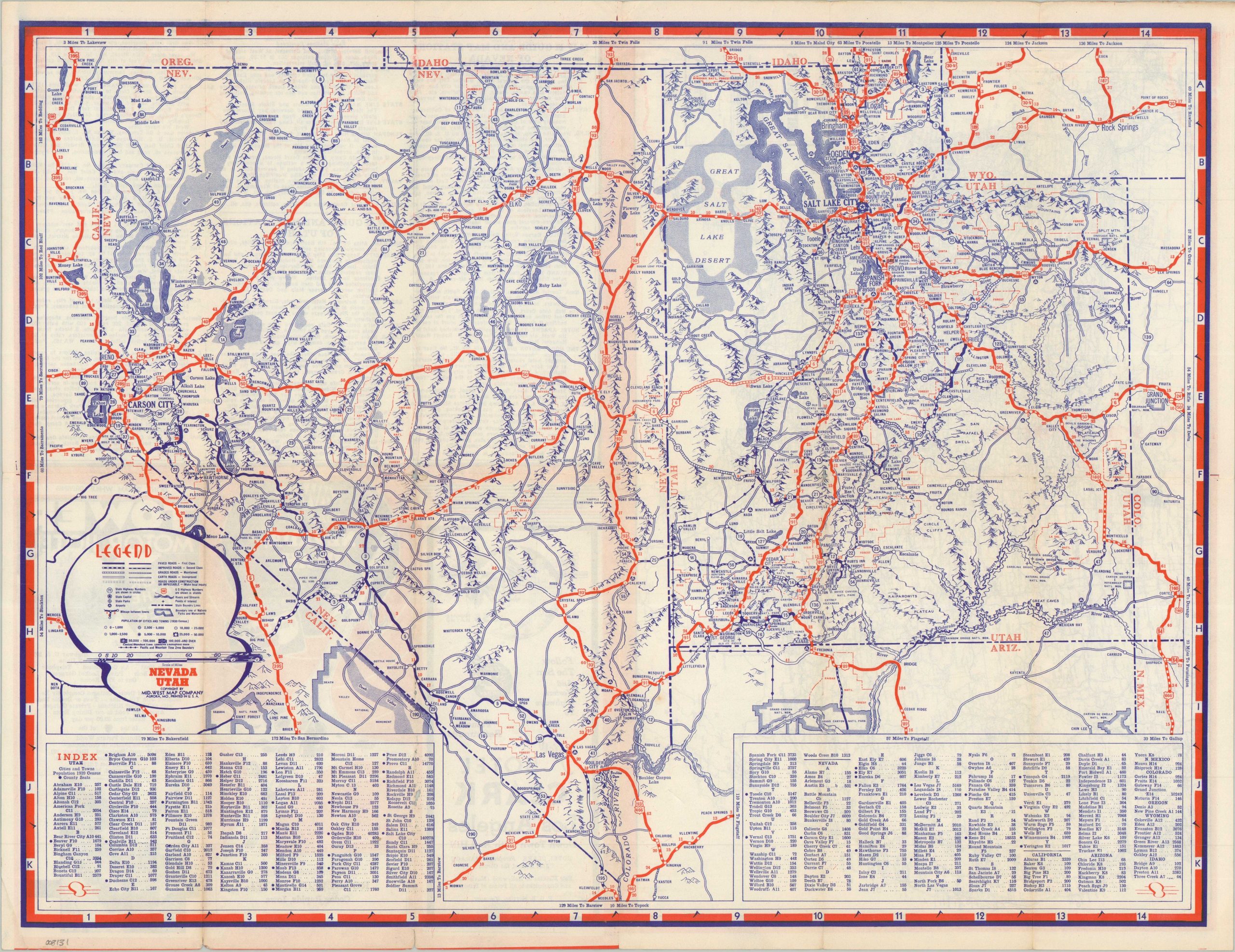
This delightful road map of Utah and Nevada was published by the Aurora-based Mid-West Map Company in the 1930s, based on the census data given in the accompanying index. The image uses bright red to highlight the primary highways serving the western region, which was a popular destination for Midwestern travelers at the time of publication. Pictorial topography, somewhat exaggerated, gives an impression of the rugged landscape while various attractions, settlements, and geographic features are labeled throughout.
The verso offers a highway map of the United States, a list of MWM Guide and Map Stations, and advertisements for hotels in Los Angeles – the Tower Motor Hotel and the ‘new’ Hotel Clark (by the time of publication, at least 15 years old).
Map Details
Publication Date: c. 1935
Author: Midwest Map Company
Sheet Width (in): 21.75
Sheet Height (in): 16.90
Condition: B
Condition Description: Double-sided brochure with moderate wear along folds, including faint toning and a few small spots of separation. Some abrasion on the front cover results in minor paper loss along folds. Light marginal wear, including a few tiny tears. About good condition overall.
$75.00
1 in stock