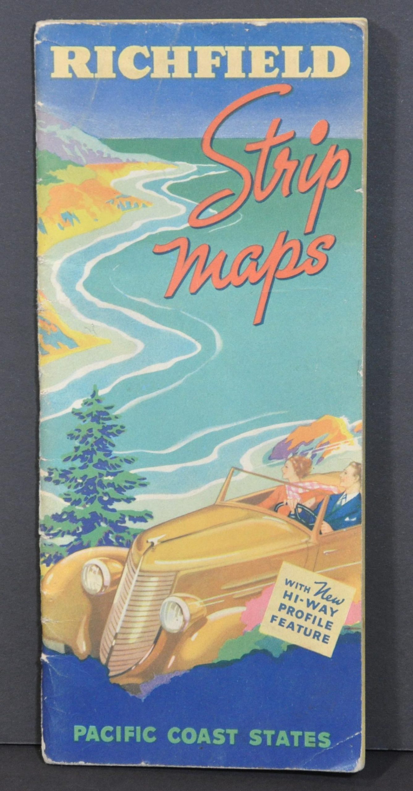
Richfield Strip Maps Pacific Coast States
$85.00
“Let’s Go Places with Richfield” [back cover]
1 in stock
Description
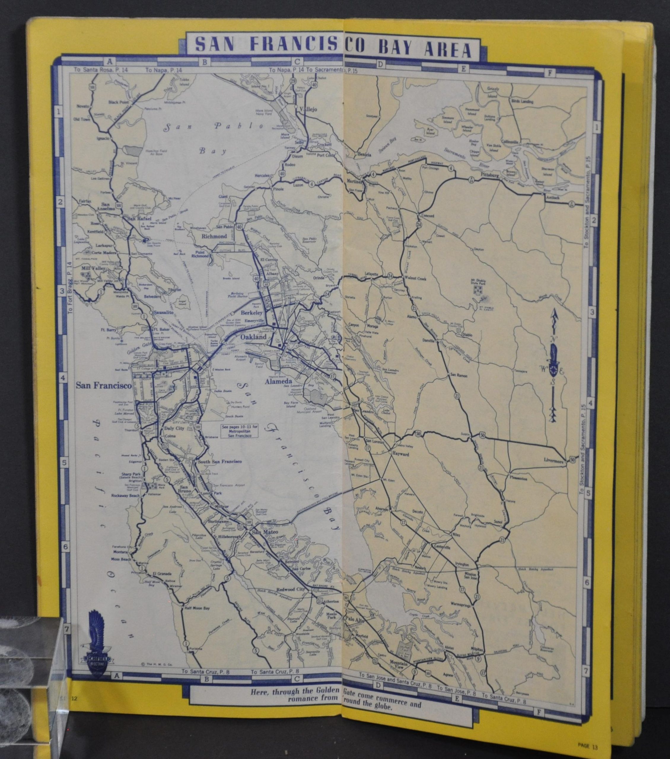
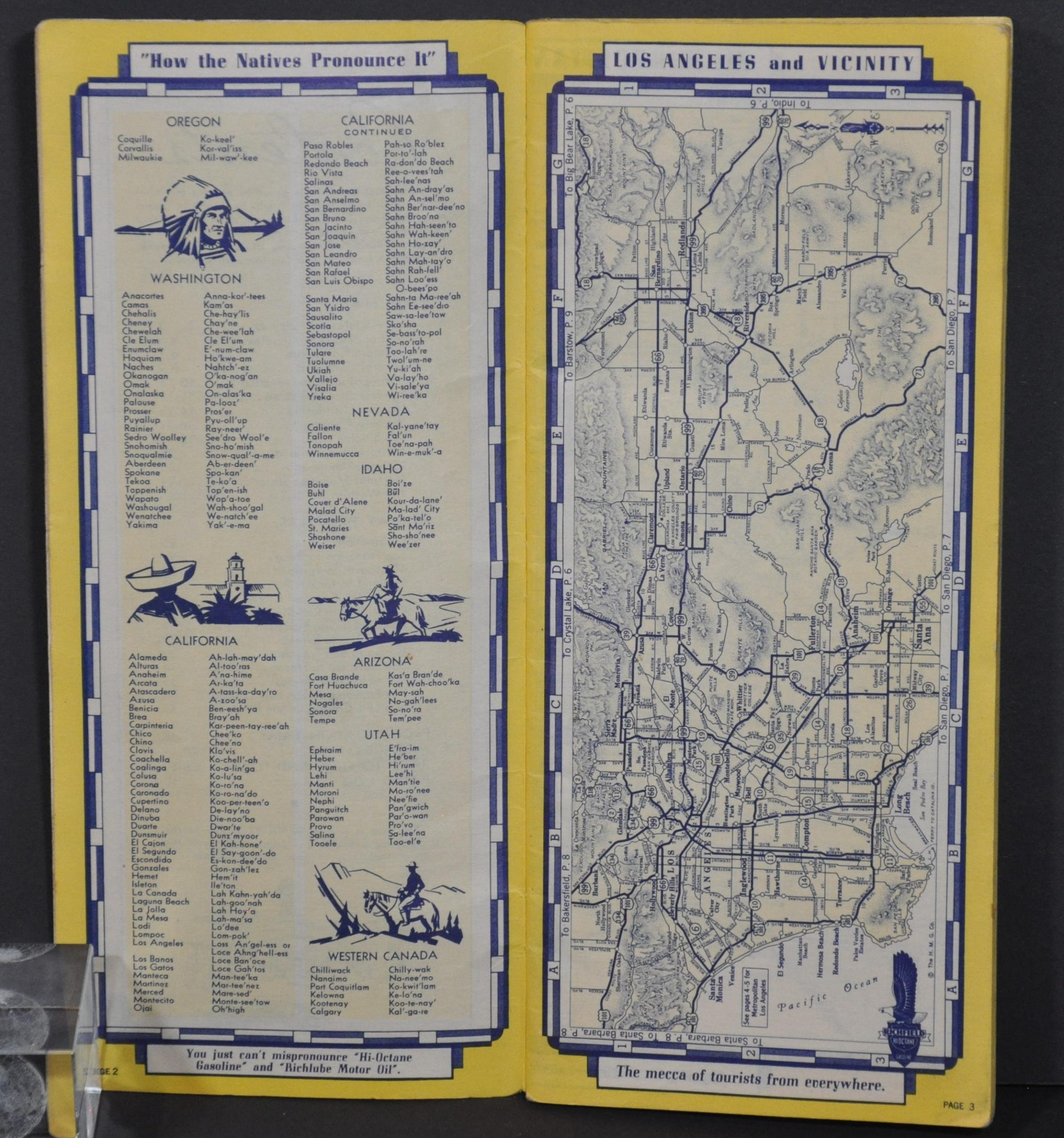
This neat little atlas of road maps and highway profiles was designed exclusively for the Richfield Oil Corporation by the H.M. Gousha Company in 1937. It’s 40 pages cover the road network across the Pacific Coast states of Washington, Oregon, and California, as well as portions of Nevada, Mexico, and Arizona.
City plans show Los Angeles, San Francisco, Portland, and Seattle, while elevation diagrams provide valuable information on the route’s terrain. Additional articles contained within the booklet are; a mileage chart providing distances between major urban areas, a radio log of Pacific Coast stations, and an index to all cities and towns. Advertisements for Richfield Oil products, dealers, and service stations are also scattered throughout.
Map Details
Publication Date: 1937
Author: H.M. Gousha
Sheet Width (in): 4.1
Sheet Height (in): 9.1
Condition: A-
Condition Description: 40 pp. atlas with illustrated wraps and stapled binding. Covers are moderately worn but contents are in very good condition. Minor wear and soiling and creased corners, consistent with age and use.
$85.00
1 in stock


