
Republica Argentina Red Caminera Principal
Detailed mid-century transportation map of Argentina.
Out of stock

Description
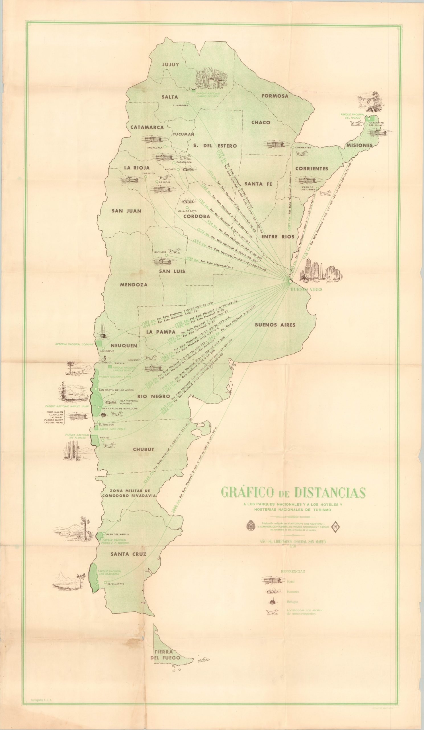
This interesting road map of Argentina was published in Buenos Aires in 1950 by the Argentinian Automobile Club and the General Administration of National Parks and Tourism. Various shades of color and styles of line identify the types of roads in operation and under construction across the country, labeled according to the legend immediately below the title block.
International boundaries, national parks, distances (in kilometers), service stations, and towns are also outlined in the key. The image is careful to include the Falkland Islands (Islas Malvinas) within Argentinian borders – territorial disputes with Britain were re-ignited with the presidency of Juan Perron. Inset maps show the region around Buenos Aires, Argentinian claims in the Antarctic, South Georgia Island, the South Orkney Islands, and the South Sandwich Islands.
The verso presents a simplified aviation map of the country that shows primary air transportation routes and distances, hotels, hosterias, and campgrounds. The same year the map was published, the government established Aerolíneas Argentinas as the state-sponsored airways for domestic and international travel.
Source: History of Aerolinas Argentinas
Map Details
Publication Date: 1950
Author: Automovil Club Argentino
Sheet Width (in): 27
Sheet Height (in): 46.75
Condition: B+
Condition Description: Moderate wear along former fold lines, including several small holes at fold intersections, wrinkling, and faint discoloration. Several spots of wear and small tears visible along the outer edges and one tear, about 2", has been repaired with archival tape. Heavy red marking visible along one route within the image.
Out of stock