Report Upon an Investigation On the Fishing Grounds Off the West Coast of Florida
Searching for grouper and red snapper in the Gulf of Mexico.
Out of stock
Description
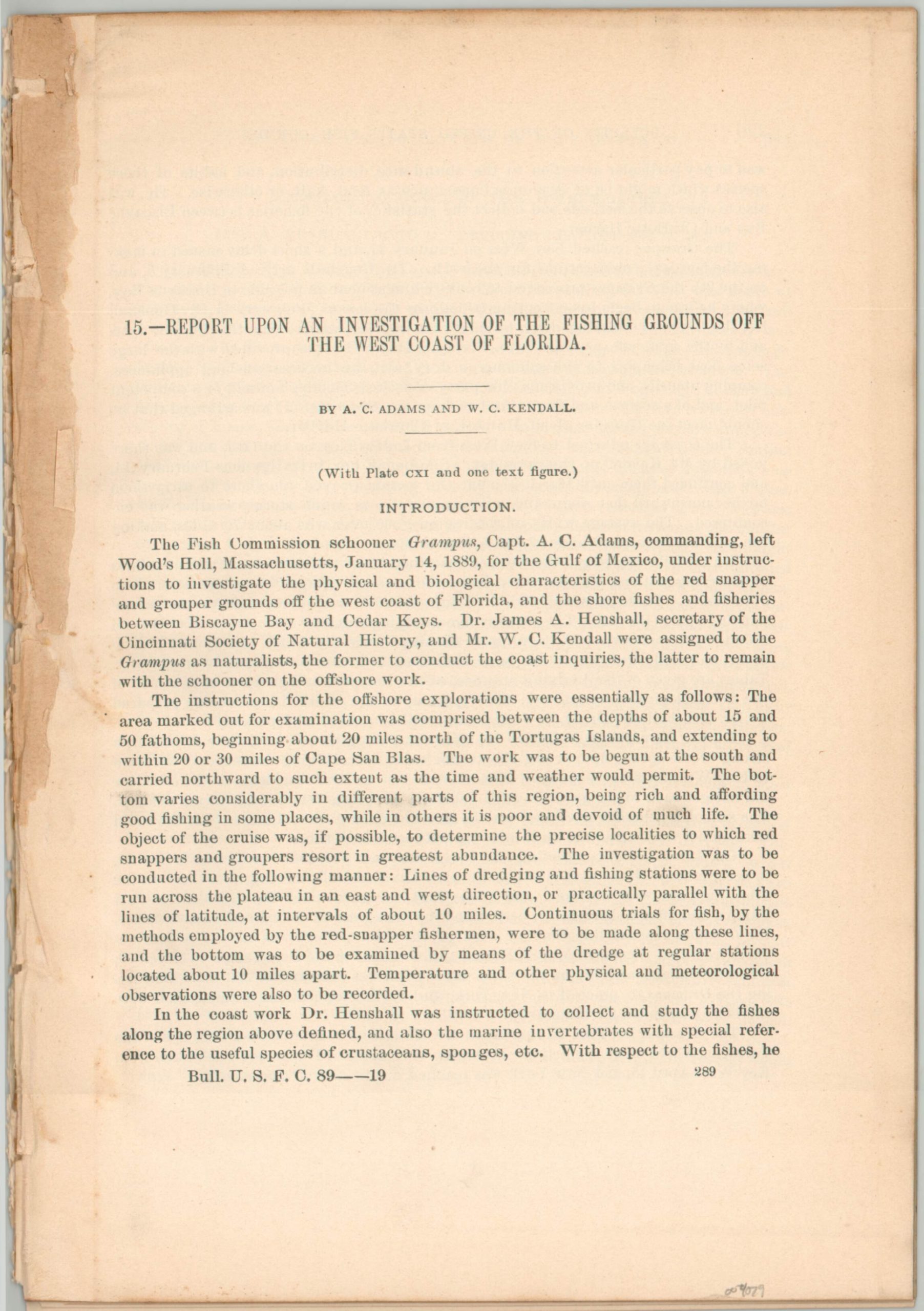
“The Fish Commission schooner Grampus, Capt. A.C. Adams, commanding, left Wood’s Holl, Massachusetts, January 14, 1889, for the Gulf of Mexico, under instructions to investigate the physical and biological characteristics of the red snapper and group grounds off the west coast of Florida, and the shore fishes and fisheries between Biscayne Bay and Cedar Keys. Dr. James A. Henshall, secretary of the Cincinnati Society of Natural History, and Mr. W.C. Kendall were assigned to the Grampus as naturalists, the former to conduct the coast inquiries, the latter to remain with the schooner on the offshore work…
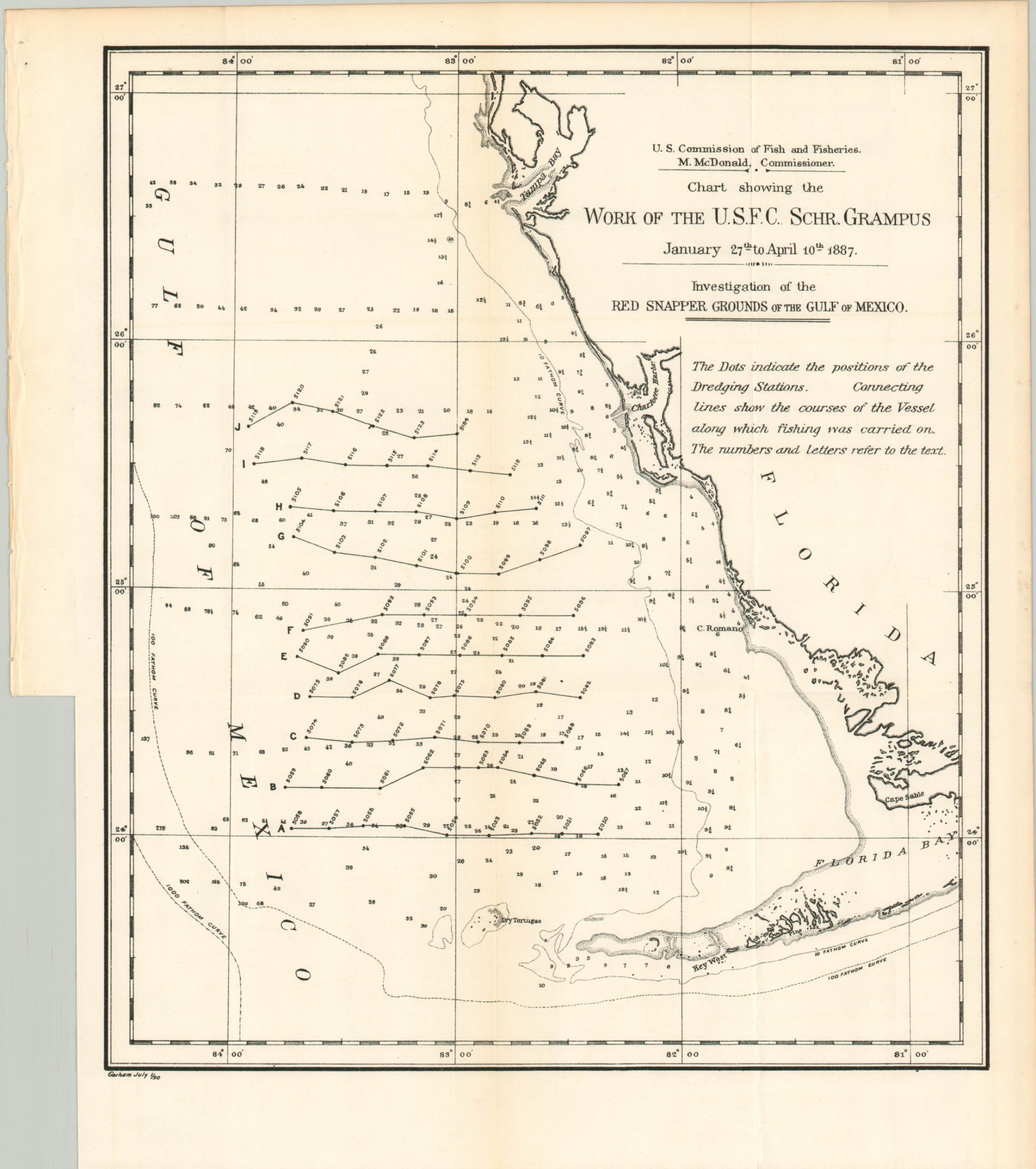
On the following pages the work is described under the several east and west lines of observing stations, which are ten in number and are designated by the letters A to J, inclusive. These lines and the dredging stations are represented on the accompanying chart (pl. CXI). The seventy-five dredging stations are numbered from 5050 to 5124, inclusive.” [pg. 289-290]
This engaging report details the surveying and research efforts of the wooden two-masted schooner Grampus between February and March of 1889 as it operated on behalf of the United States Fish Commission. The crew was tasked with cruising the waters of the Gulf of Mexico off the western coast of Florida, making observations on wildlife, weather conditions, and the status of the local fish industry.
A detailed overview of the mission is accompanied by a comprehensive list of the various species collected, a table of measurements, and a folding map. The last, titled ‘Chart showing the Work of the U.S.F.C. Schr. Grampus’, measures approximately 13.75″ x 16.5″ and shows the coast of Florida between Tampa Bay and the Florida Keys. The cruising routes of the Grampus are noted, with annotations corresponding to the charts in the accompanying report.
Map Details
Publication Date: 1891
Author: W.C. Adams and W.C. Kendall
Sheet Width (in): See Description
Sheet Height (in): See Description
Condition: A-
Condition Description: 24 pp. printed report and folding map extracted from a busted and incomplete Congressional volume. Wear and remnants of the former binding on the left edge, but otherwise in near fine condition.
Out of stock


