
Report on the Mineral Wealth, Climate, and Rain-Fall, and Natural Resources of the Black Hills of Dakota
$425.00
Sparking the Black Hills Gold Rush.
1 in stock
Description
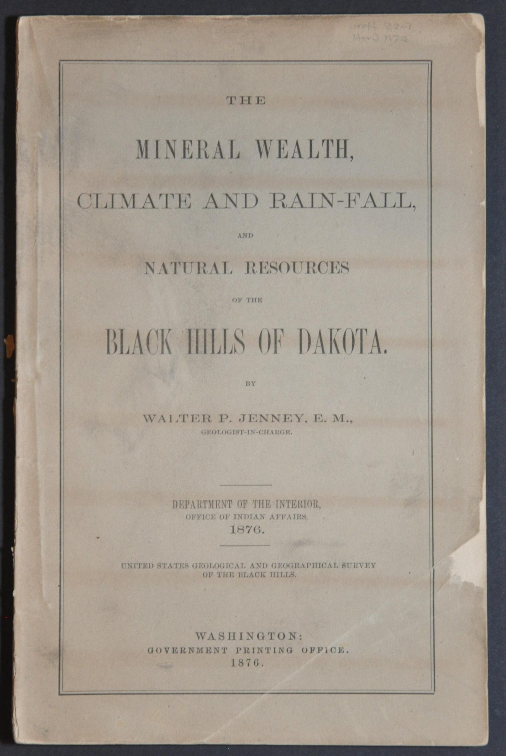
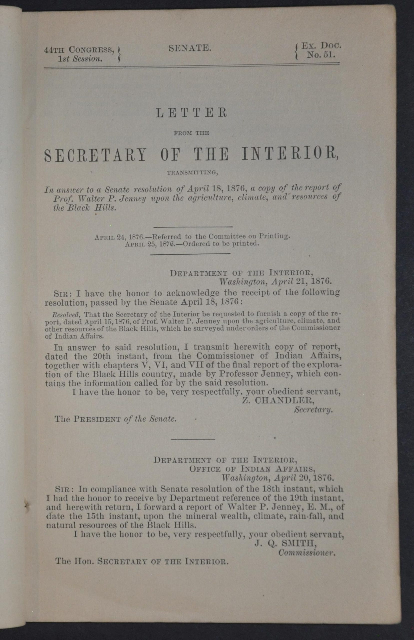
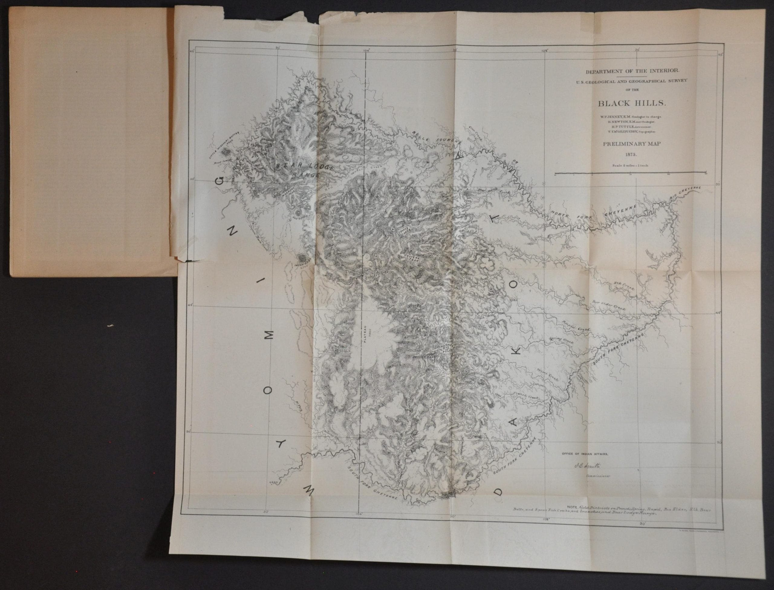
The Custer Expedition of 1874 into the Black Hills returned with reports of gold in paying quantities, igniting a rush of prospectors and speculators to the region. The reports came from practical miners, and the following year Congress dispatched trained geologists to the area for a more detailed examination. Professor Walter P. Jenny, assisted by Henry Newton and a staff of scientists, was accompanied by 75 wagons and 400 soldiers and completed their work in the summer of 1875. Congress wanted information (especially pertaining to gold) immediately, resulting in this 1876 report and preliminary map published by the Government Printing Office. The text includes chapters on local mineral deposits, climate, and other natural resources in the region.
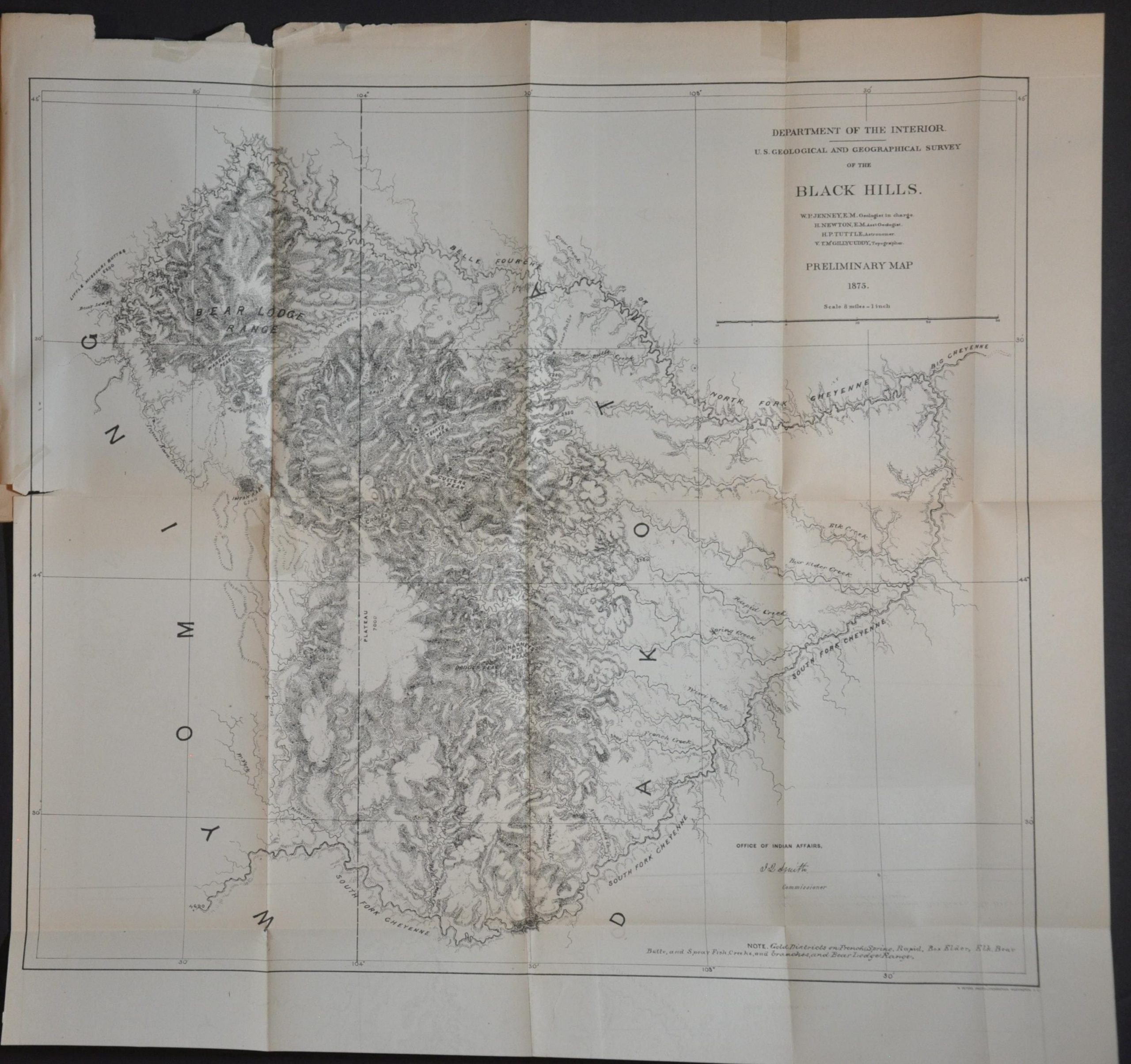
The somewhat sparse folding map is titled U.S. Geological and Geographical Survey of the Black Hills. No towns are named (Deadwood was founded in 1876) and only a handful of geographic features are labeled. The image shows only the area between the two principal forks of the Cheyenne and displays neither itinerary nor mining activities, but there is a note stating “Gold Districts on French, Spring, Rapid, Box Elder, Elk, Bear, Butte, and Spear Fish Creeks, and branches, and Bear Lodge Range.” Quite the selection to choose from!
Map Details
Publication Date: 1876
Author: Walter P. Jenney
Sheet Width (in): 5.9
Sheet Height (in): 9.1
Condition: B+
Condition Description: First edition, 8vo. 71 pp. booklet with string binding. Lacking back paper cover and the printed front wrapper is soiled and creased in the corner. Includes the fold-out map, about 16" x 18", which displays brightly and has a few small edge tears and chips. Ov
$425.00
1 in stock