Report of the Exploring Expedition to the Rocky Mountains
Landmark Senate report of Fremont’s first and second expeditions through America’s western frontier.
Out of stock
Description
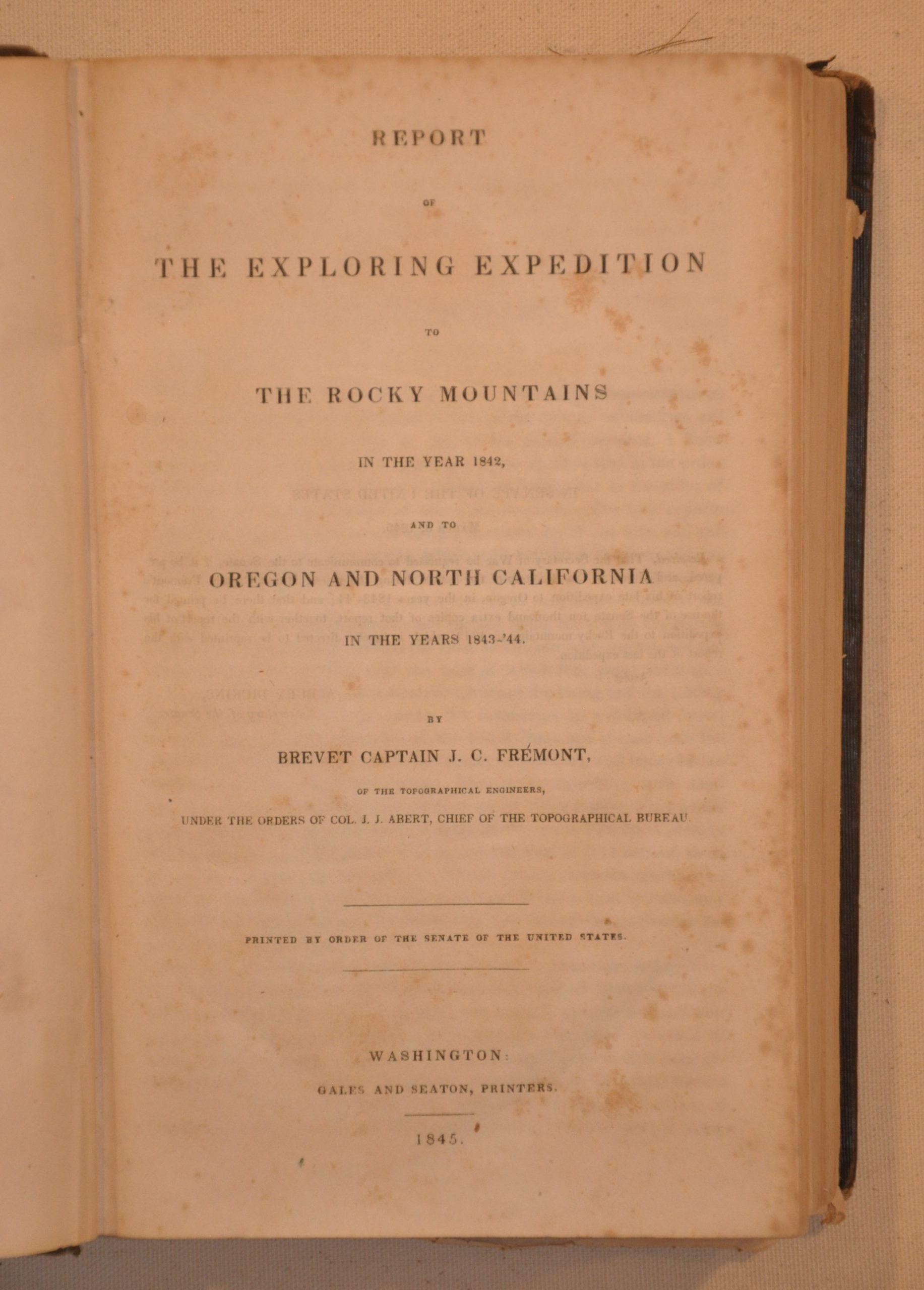
One of the foundational publications of the exploration of the American west, John C. Fremont’s report on his first two exploring expeditions, along with the maps created by topographer Charles Preuss, provided a comprehensive and updated perspective of the frontier when first published in 1845.
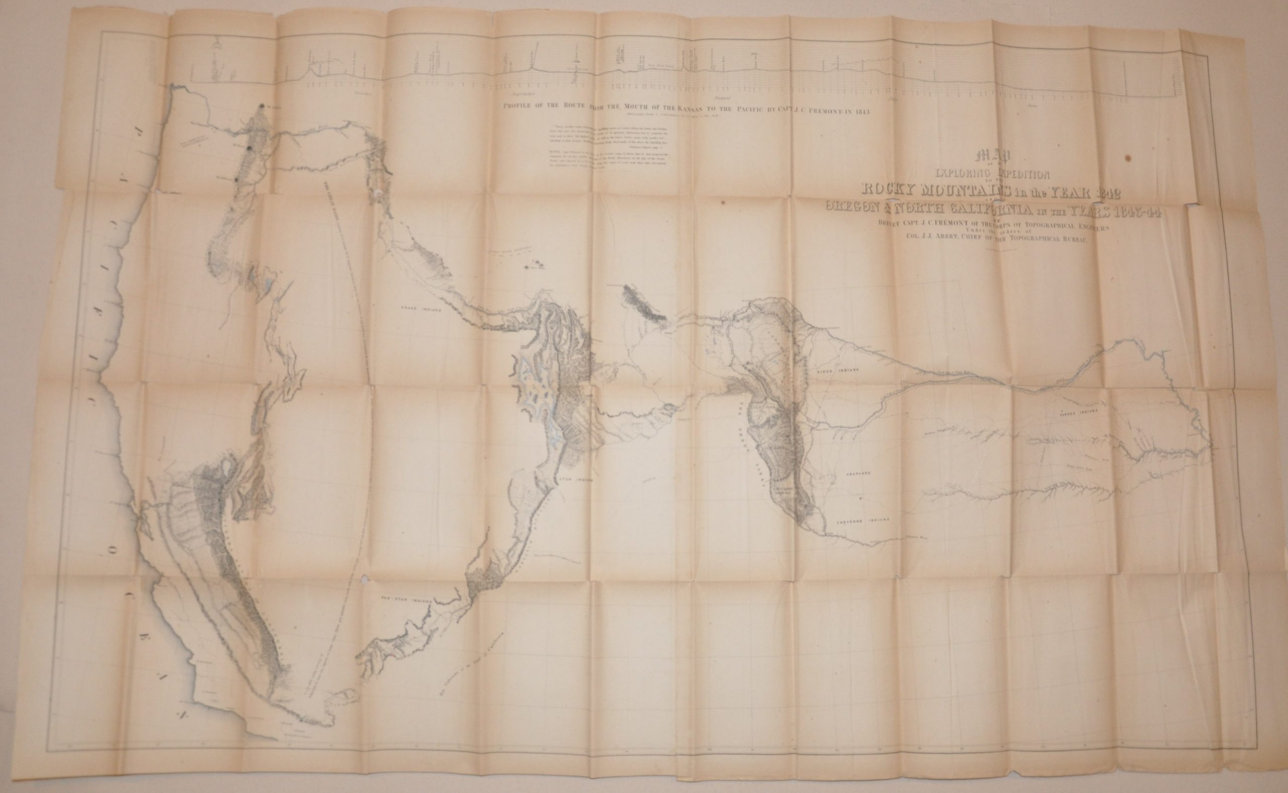
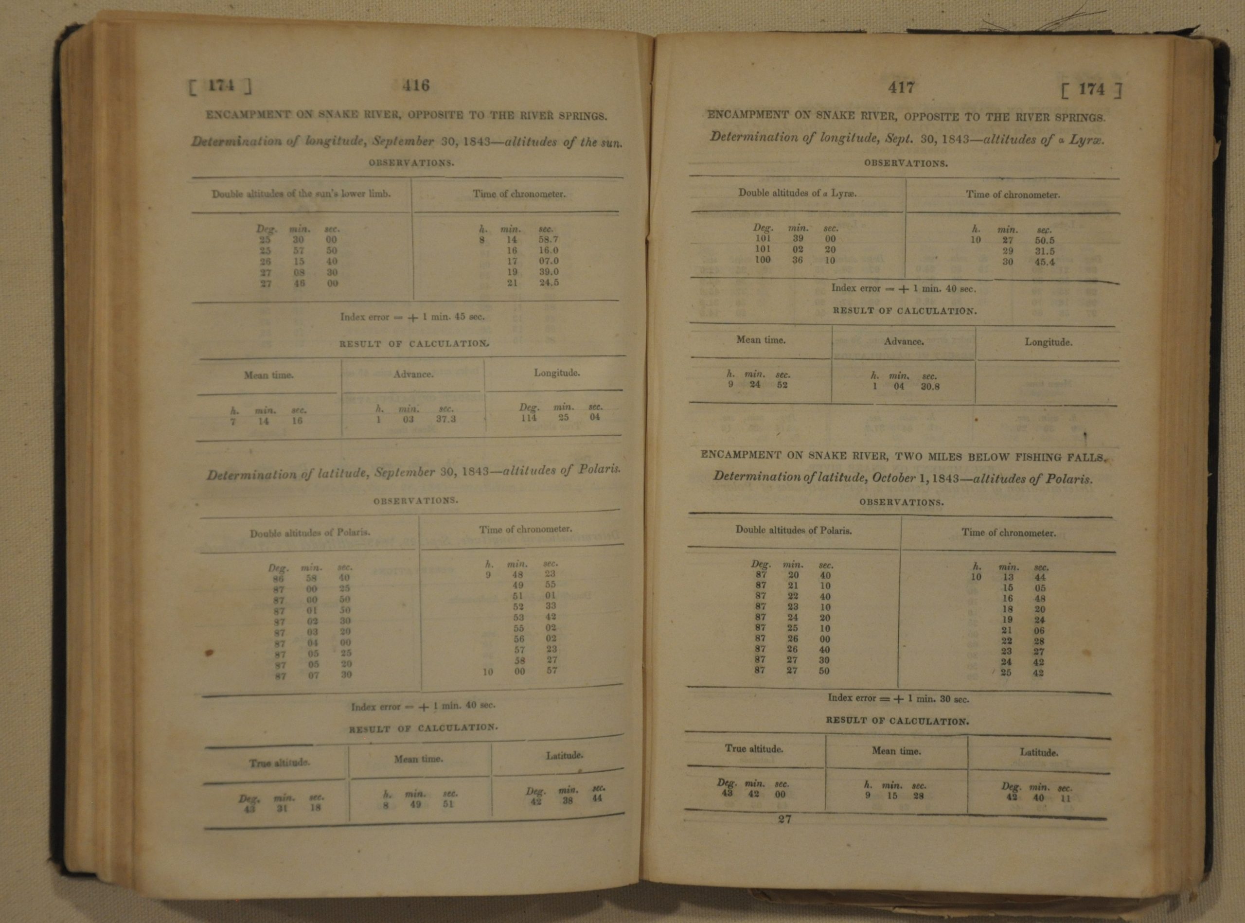
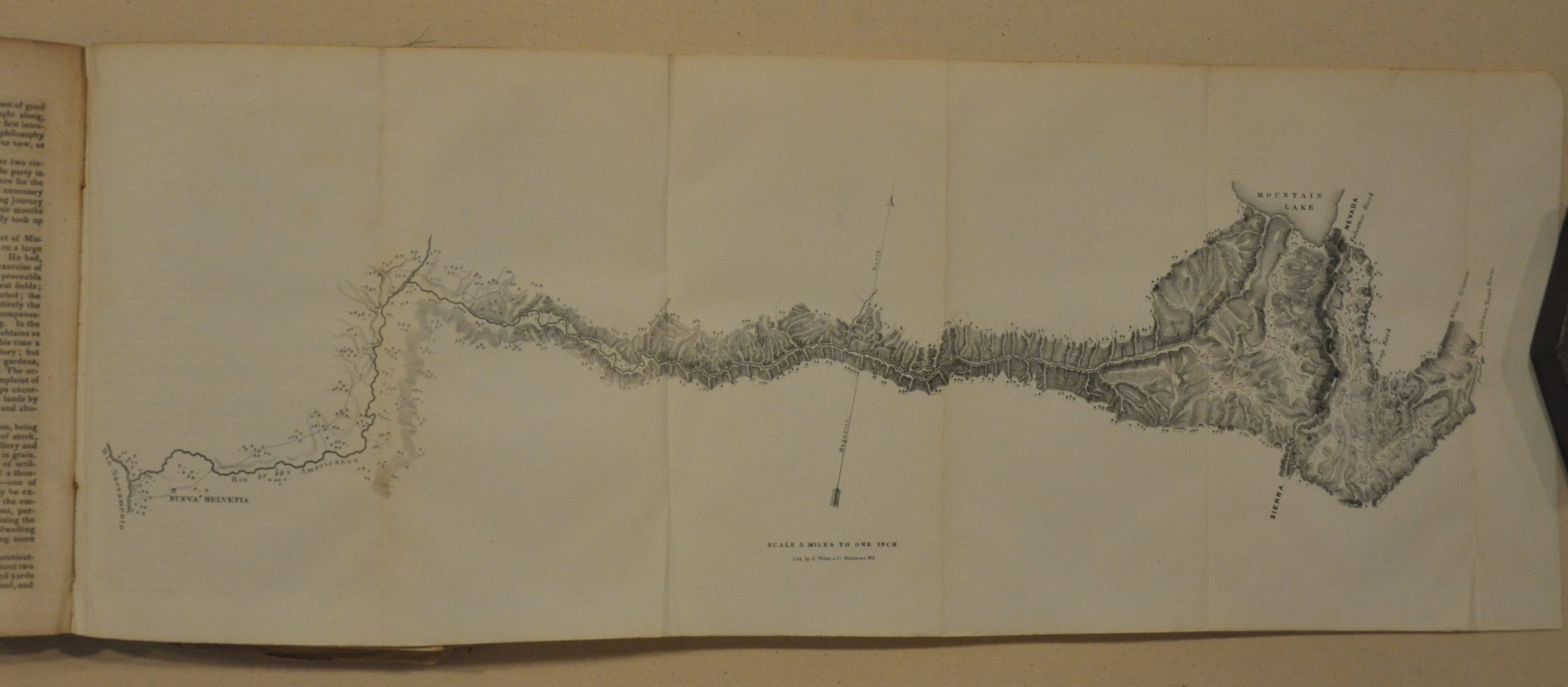
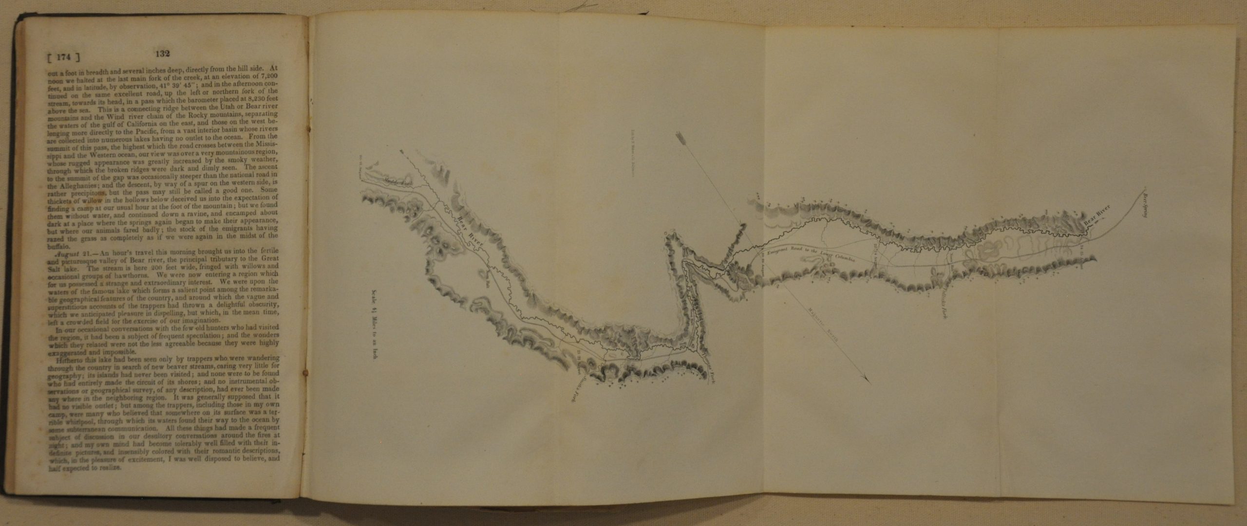
This particular example was printed in Washington by Gales & Seaton on behalf of the United States Senate and contains 22 engraved plates ranging from spectacular panoramas of Pike’s Peak to detailed illustrations of fossils and regional plant life. The Senate version also contains dozens of pages meteorological data and weather observations not otherwise available in the version designed for the House of Representatives. In addition, the publication contains 5 maps; including two fold out charts showing the course of the Bear and American Rivers. The most important, and largest map, in the publication was issued as a fold out in a separate pocket at the back of the volume.
This folding map, measuring 53.5″ x 32.5″, outlines Fremont’s course between Fort Leavenworth and California in great detail and was drawn by the German cartographer Charles Preuss. It filled huge gaps in the collective American understanding of the geography of the west, and was enormously influential in influencing emigration patterns in the years leading up to the Gold Rush.
Map Details
Publication Date: 1845
Author: John C. Fremont
Sheet Width (in): 6.00
Sheet Height (in): 9.00
Condition: B+
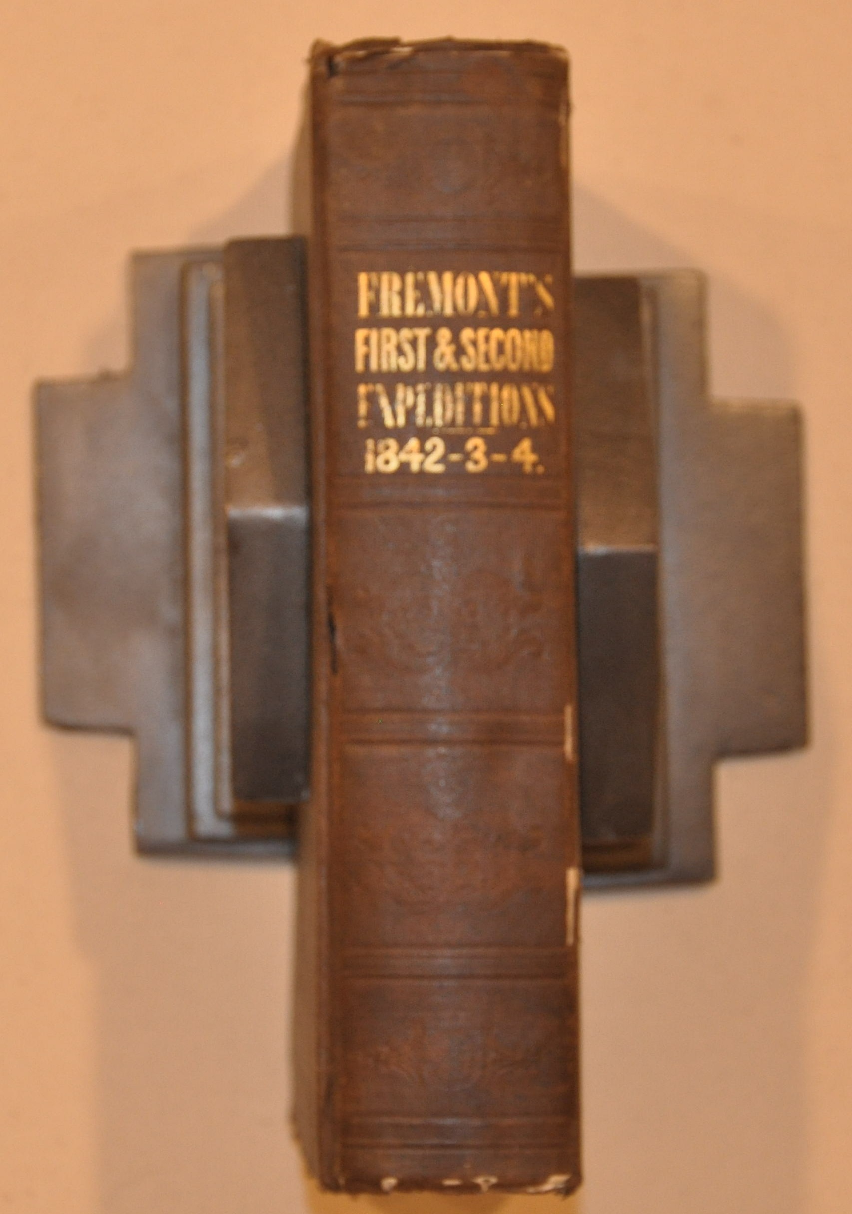
Condition Description: Bound in original full brown cloth boards with title printed in gold on the spine. Binding and covers are strong, but worn and frayed in a few places. The volume is complete, 693 pages including 22 engraved plates and 5 maps, including the large folding map in the back pocket. Overall, the pages are clean and in good condition and exhibit minor foxing and toning associated with age. The maps are in similarly good condition, though the folding map at the back exhibits moderate discoloration and wear along the fold lines, including minor image loss at fold intersections.
Out of stock

