Regional Aeronautical Chart [Pacific Northwest]
$195.00
WWII-era aeronautical chart and related ephemera covering the Pacific Northwest.
1 in stock
Description
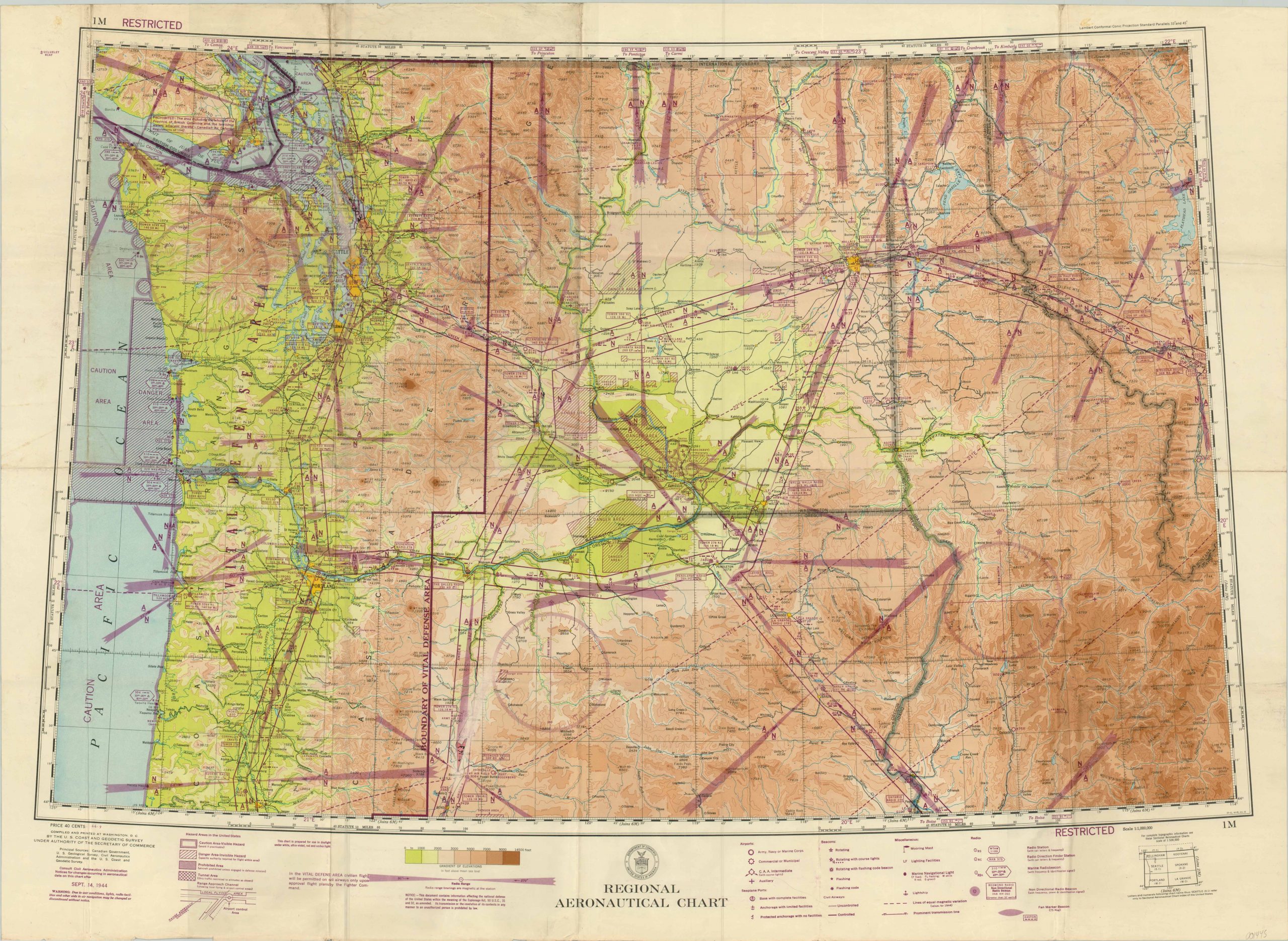
This aerial navigation chart was published in September of 1944 by the United States Coast & Geodetic Survey. The sheet covers a broad area across the states of Washington, Oregon, Idaho and Montana between Puget Sound and the western portions of Yellowstone.
Conspicuously marked Restricted in the upper left and lower right, the image is filled with sensitive military information on radio frequency, flight traffic patterns, prominent navigational beacons, and prohibited areas. Color is used to reflect the elevation of the terrain, and topographic detail is shown in contours.
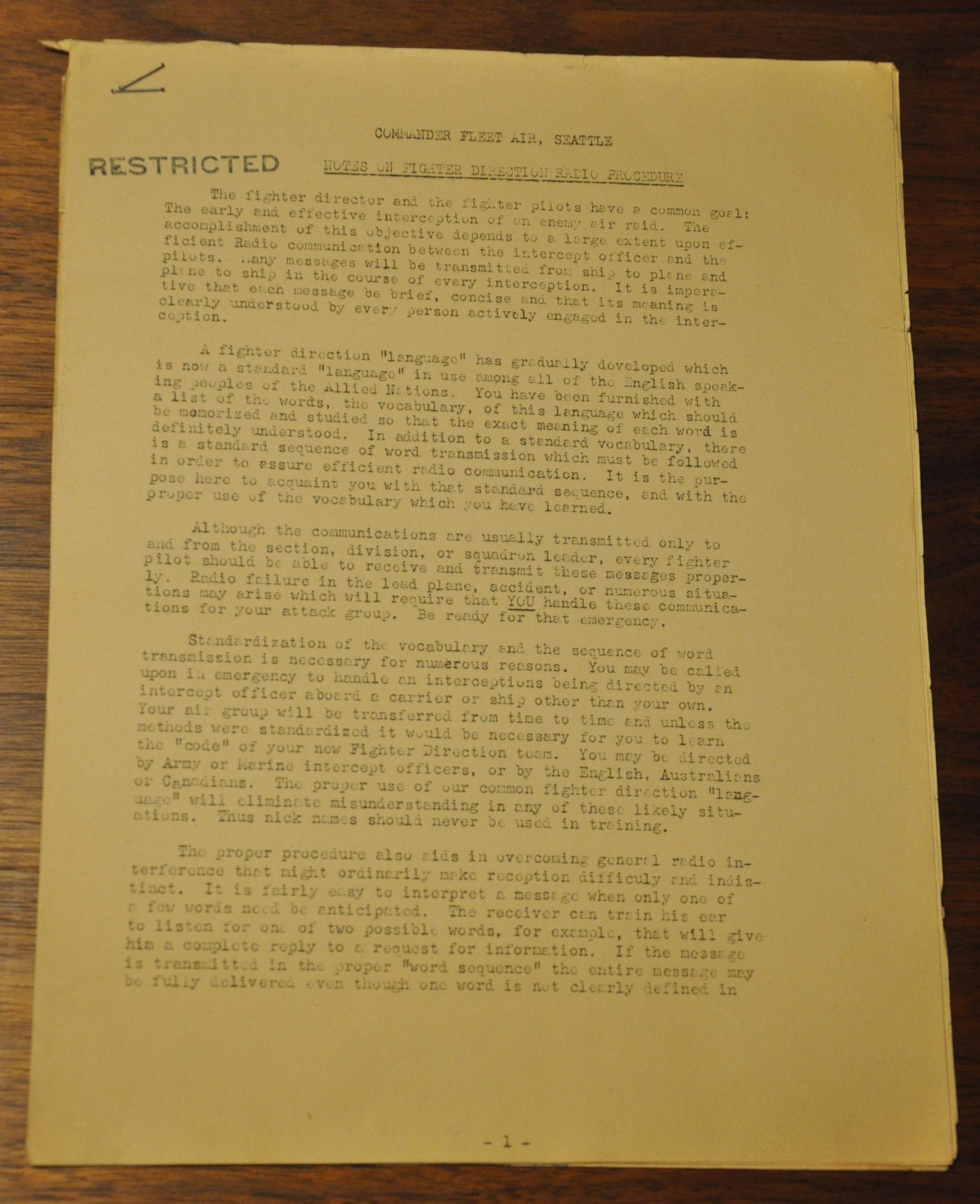
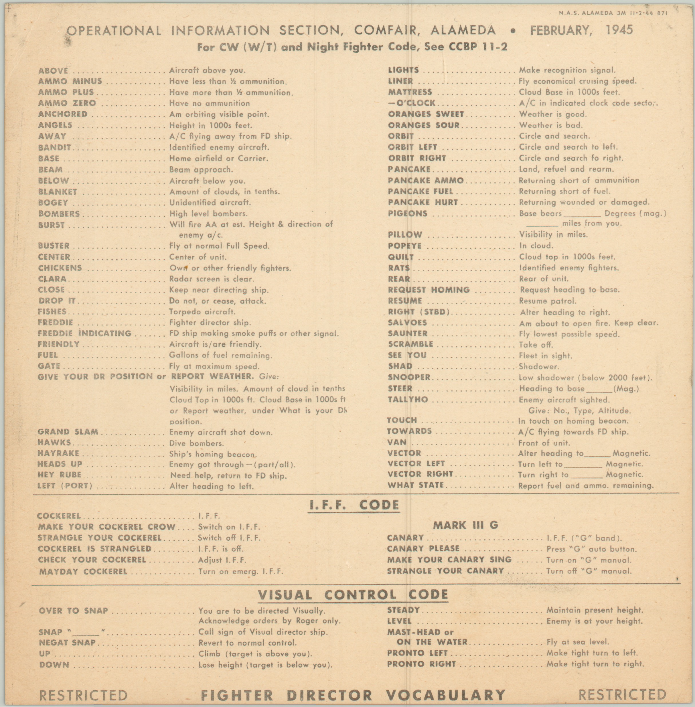
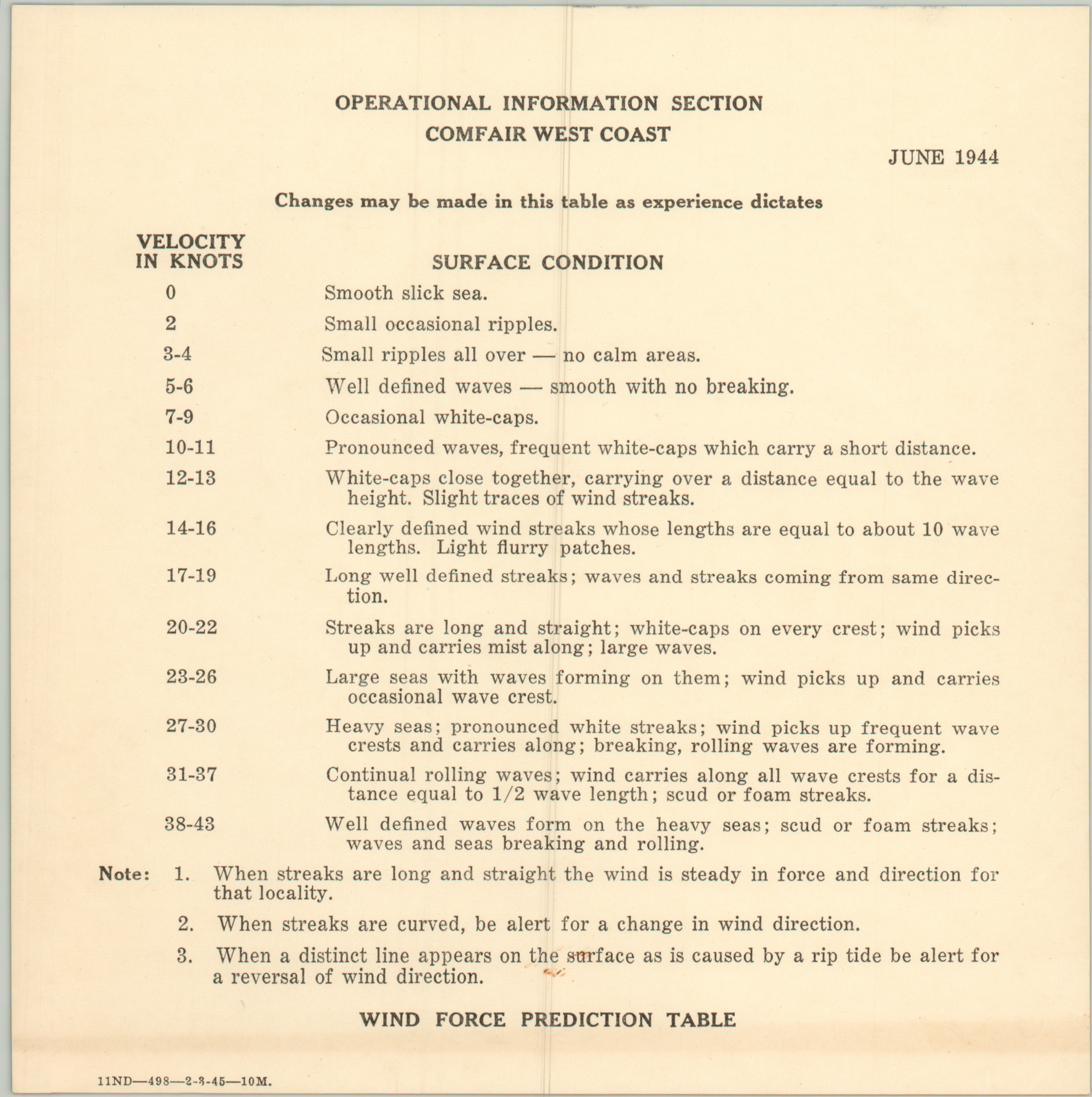
These charts were produced in significant quantities throughout the Second World War, but this particular example comes with several pieces of related ephemera. Restricted instruction cards from early 1945 provide direction on air-sea rescue, the wind force prediction table, lost plane procedures and fighter director vocabulary. Additionally, a six page hand-typed report (also marked Restricted) details extensive information on Fighter Direction Radio Procedure, including the use of key phrases (Over — Out), weather reporting and more.
Map Details
Publication Date: 1944
Author: U.S. Coast and Geodetic Survey
Sheet Width (in): 37.50
Sheet Height (in): 26.75
Condition: B
Condition Description: Moderate wear and creasing along fold lines, most heavily visible in the upper left corner, which also features marginal soiling and some abrasion to the image near Seattle. Additional soiling visible on the left side of the sheet, but the accompanying reference cards and notes on radio procedure are in fine condition.
$195.00
1 in stock


