Reduced Ordnance Map of London
$500.00
A handy guide to London during the mid-19th century.
1 in stock
Description
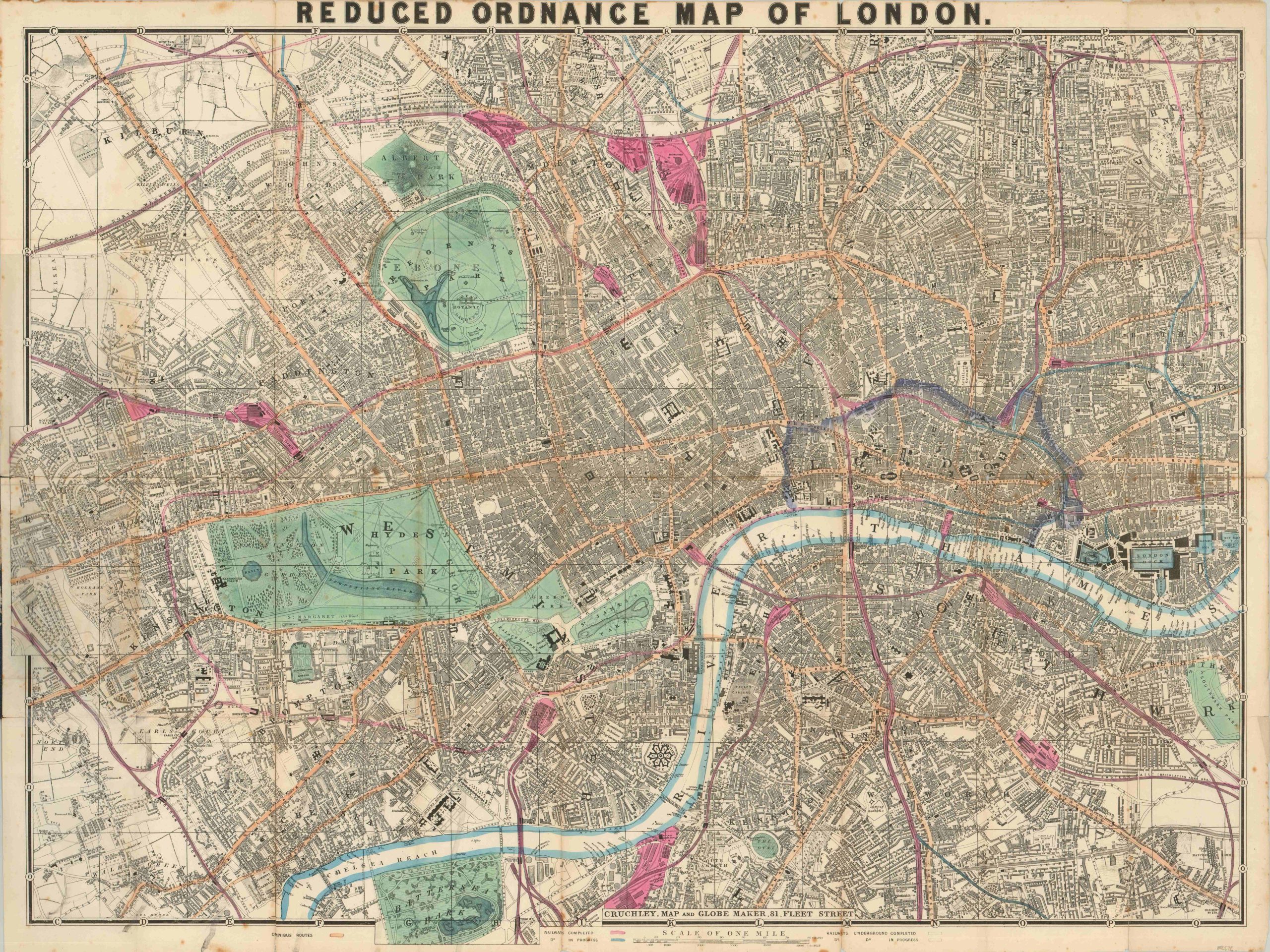
Victorian-era London represents a time, place and culture that continues to enrapture the modern day audience. One can just imagine Sherlock Holmes receiving visitor’s on Baker Street or the Artful Dodger picking pockets in a crowded square when looking at this map, published around 1868 by G.F. Cruchley.
Completed railways, one of the numerous sources of the unending soot that gave London the nickname “The Big Smoke”, are highlighted in pink, while those under construction are shown in blue. Omnibus routes (horse drawn wagons capable of accommodating multiple passengers and frequent stops) are orange, while the few available areas available outdoors to the public are green.
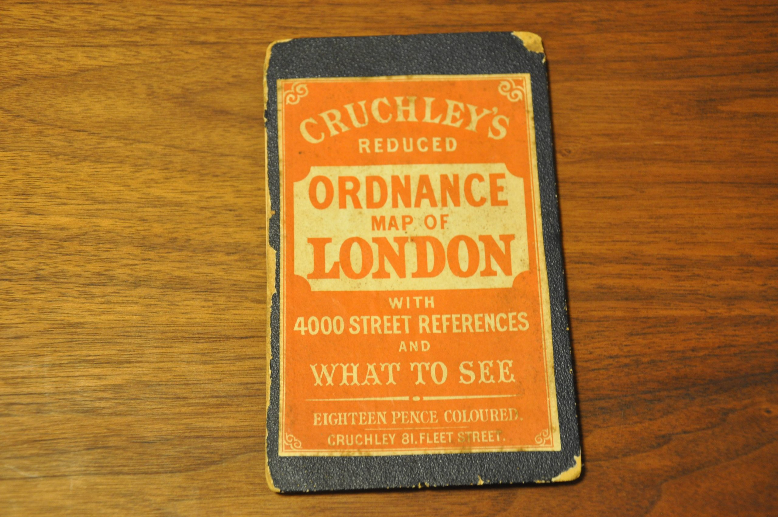
Across the map, prominent transportation routes, important buildings and other landmarks are individually labeled. The front cover includes a street index that references the alphabetical grid that comprises the map’s border. It also contains several pages listing various attractions across London; providing brief summaries for locations ranging from the Adelphi Theatre to the Zoological Gardens.
Map Details
Publication Date: 1868
Author: G.F. Cruchley
Sheet Width (in): 35.20
Sheet Height (in): 26.60
Condition: B+
Condition Description: Moderate to heavy wear along originally issued fold lines, including several areas of separation and spotting. Three tears along fold lines have been repaired on the verso with archival tape. Small tears and scattered soiling also visible in the outer margins. The map remains affixed to the original back cover. The front is detached, but present and retains its original publisher's stamp. Good condition, given the age and use.
$500.00
1 in stock


