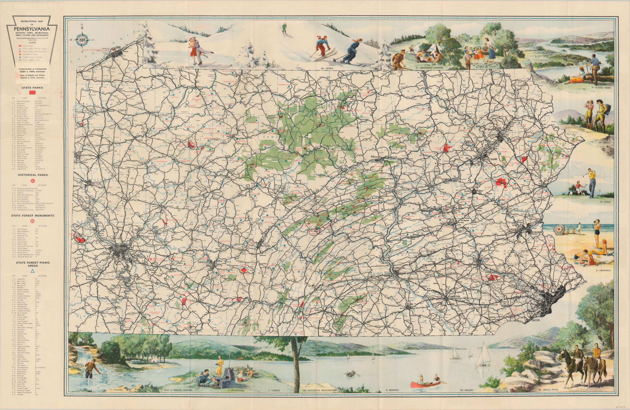
Recreational Map of Pennsylvania
$55.00
Quaint pictorial overview of Pennsylvania’s recreational opportunities in the early 1950’s.
1 in stock
Description
This lovely color pictorial map of Pennsylvania was issued by the state’s Department of Forest and Water under governor John S. Fine (1951 – 1955). State parks, historic sites, recreation and picnic areas are all identified according to the accompanying legend on the left side, while abbreviations for individual outdoor activities can be seen within the map and are explained by the various illustrated scenes in the border.
The verso features summaries of many of the most popular attractions, as well as rules and regulations for facilities across the state.
Map Details
Publication Date: c. 1952
Author: Pennsylvania Department of Forests and Water
Sheet Width (in): 36.50
Sheet Height (in): 23.60
Condition: A-
Condition Description: Originally issued folded into 30 panels. Faint creasing and wear along fold lines and minor spotting visible near the title in the upper left corner. Several locations circled in old pencil within the image. Very good overall.
$55.00
1 in stock

