
Ranger VII Lunar Charts RLC 1 Through 5
Original price was: $250.00.$200.00Current price is: $200.00.
Some of the first publicly available close up images of the moon’s surface.
1 in stock



Description
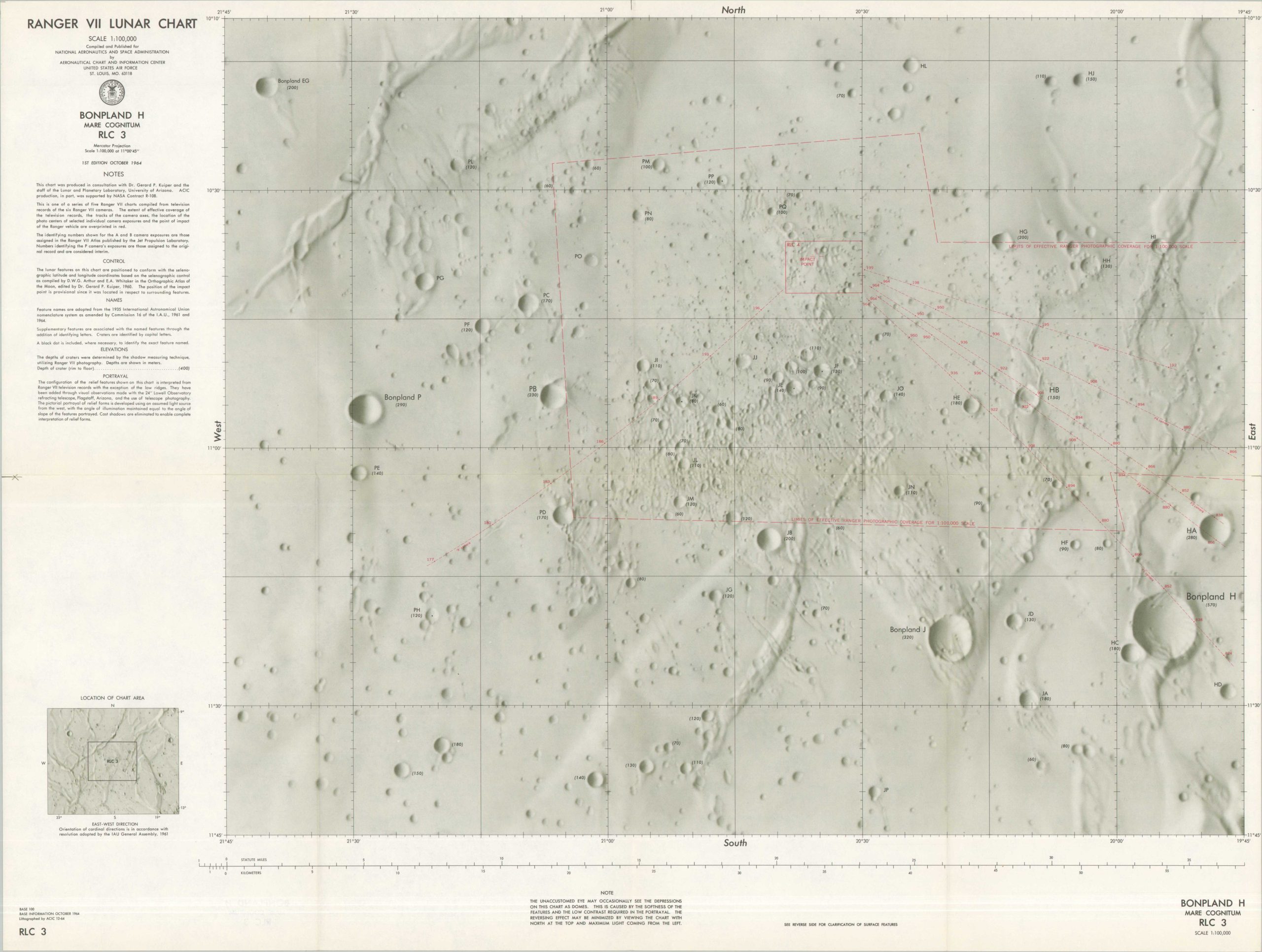
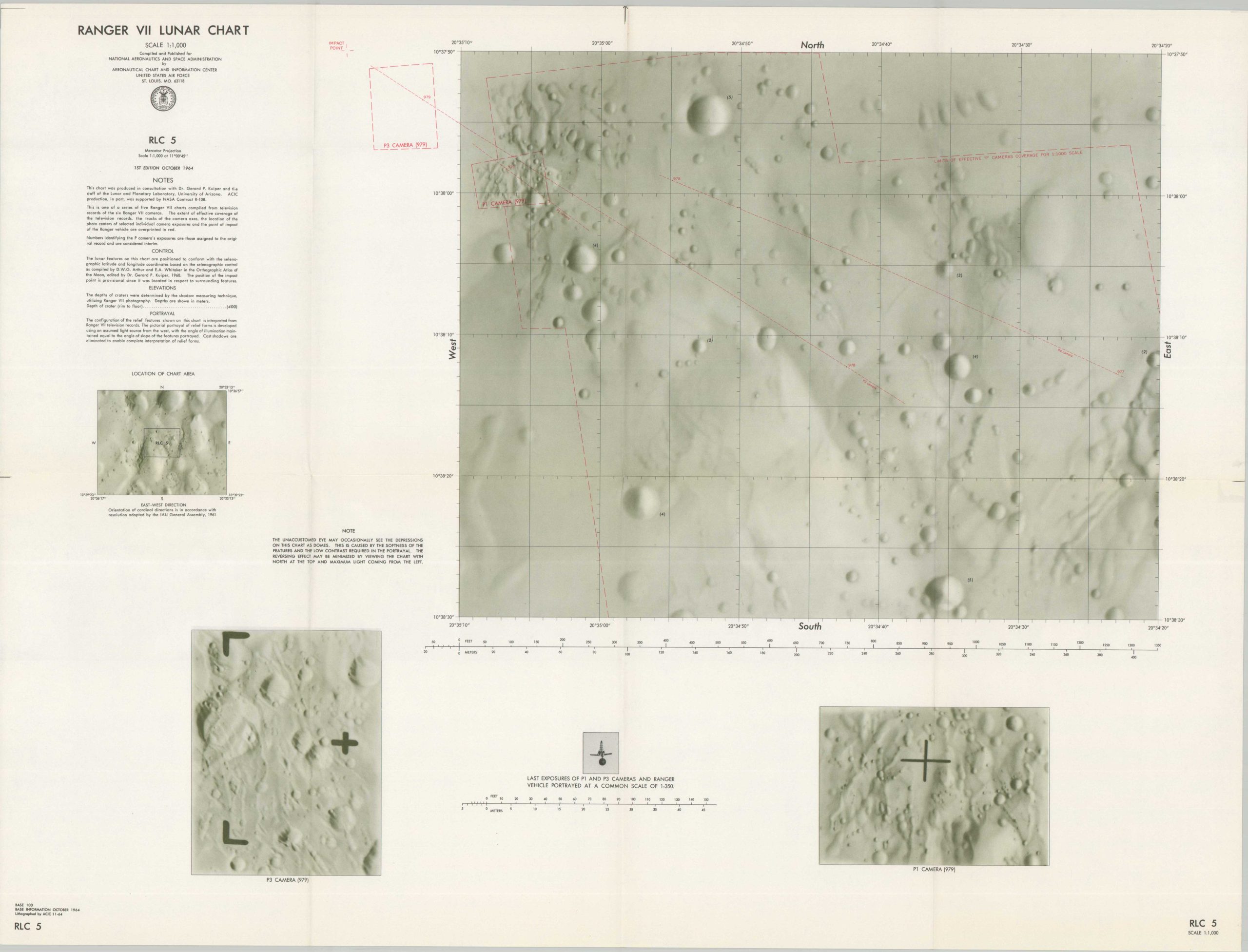
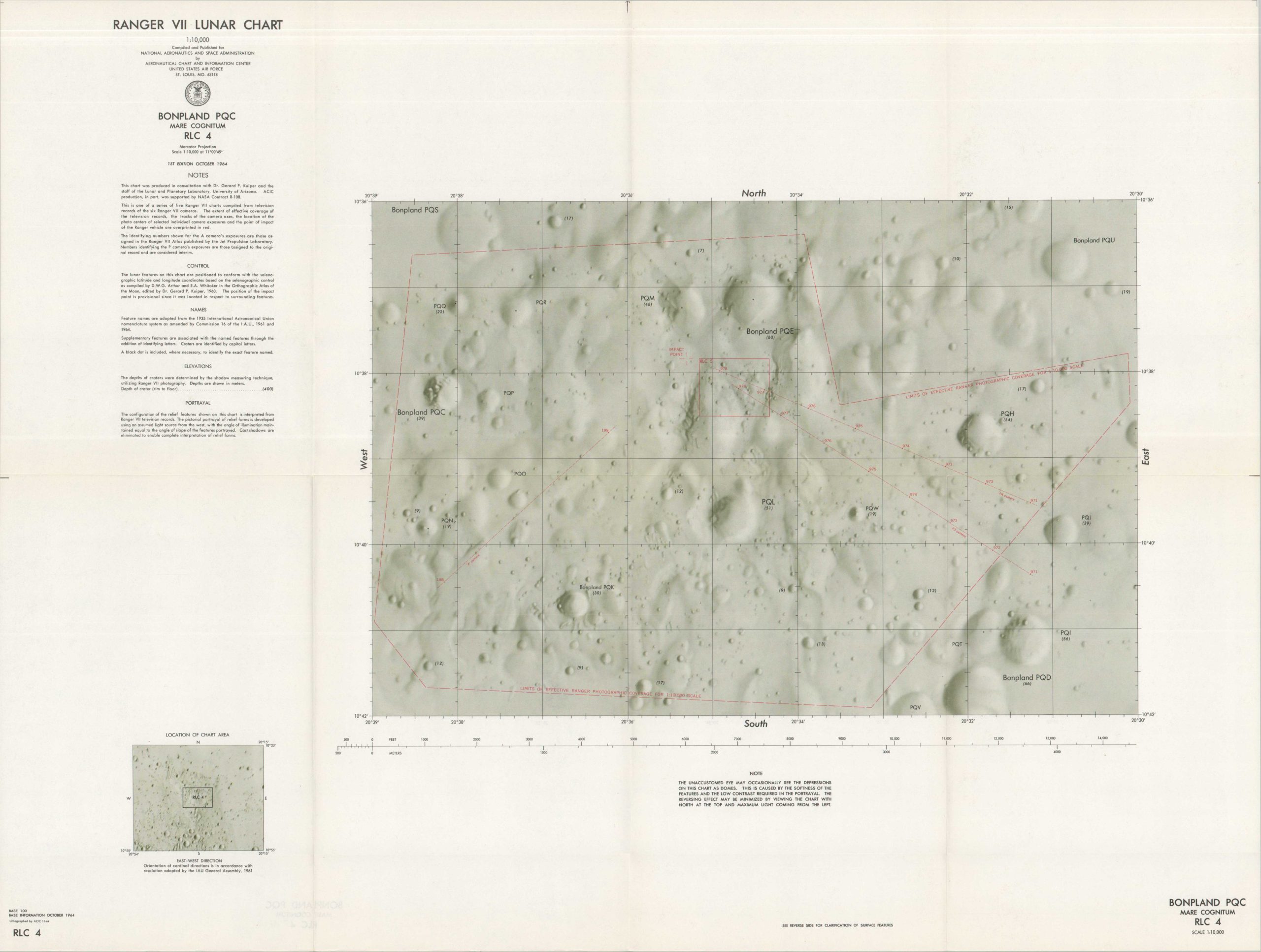
“This is one of a series of five Ranger VII charts compiled from television records of the six Ranger VII cameras. The extent of the effective coverage of the television records, the tracks of the camera areas, the location of the photos centers of selected individual camera axes, the location of the photo centers of selected individual camera exposures and the point of impact of the Ranger vehicle are overprinted in red.” – Notes.
Ranger 7 was America’s first spacecraft to successfully transmit high-resolution images of the surface of the moon. The probe was launched in July 1964 on a lunar impact trajectory – a one-way trip designed to capture a fine level of detail until the last possible moment. The impressive results can be seen on this group of five charts, published in October 1964 by the Aeronautics Chart and Information Center of the USAF on behalf of the National Aeronautics and Space Administration. Each double-sided sheet labels a number of lunar features and their respective elevation, in addition to the aforementioned data captured by Ranger 7.
Sources: David Rumsey Map Collection
Map Details
Publication Date: 1964
Author: United States Air Force
Sheet Width (in): See Description
Sheet Height (in): See Description
Condition: A
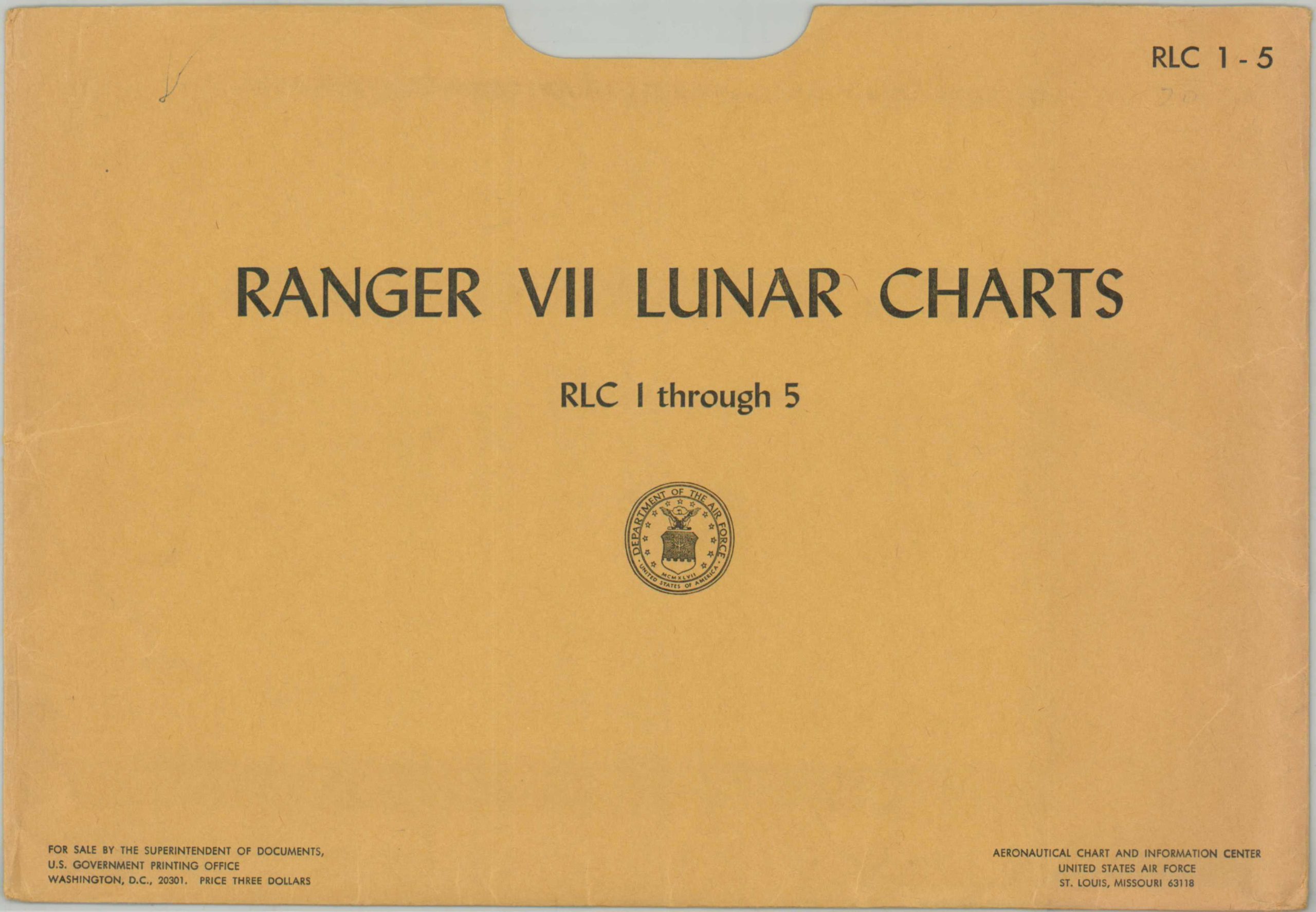
Condition Description: Collection of five large folding maps (each about 28.75" x 21.75") with original manila envelope. Light wear and faint toning along original folds, consistent with age and use. Very good to near fine condition overall.
Original price was: $250.00.$200.00Current price is: $200.00.
1 in stock