Rand McNally’s Pioneer Atlas of the American West
Unique edition of a charming atlas focused on the American West.
Out of stock


Description
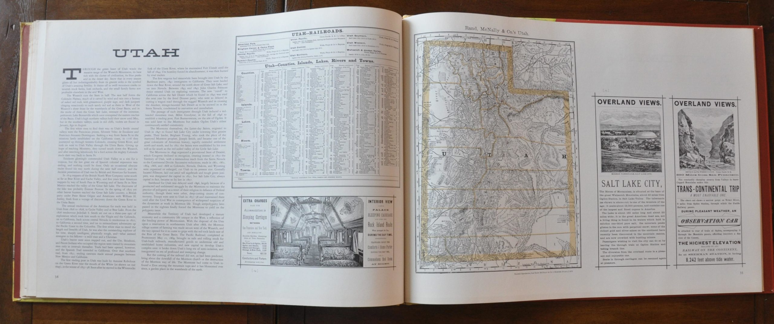
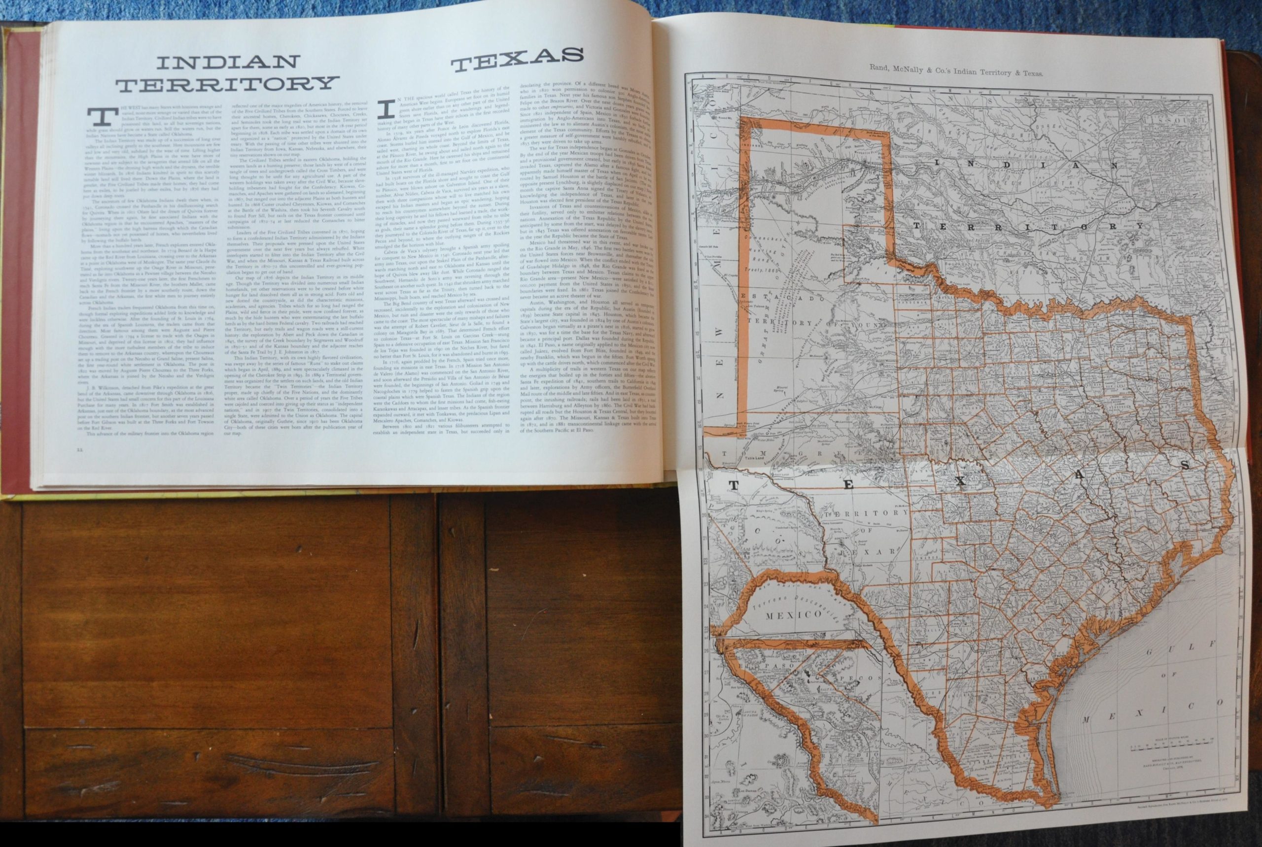
This atlas was released in 1956 to celebrate the 100th anniversary of the founding of the Rand McNally publishing house, who would become world renowned as producers of road, railway, and textbook maps. Partners William Rand and Andrew McNally got off to a humble start working for the Chicago Tribune, and eventually bought the newspaper’s printing equipment to focus on publishing timetables and tickets for the railway industry. The company moved into producing railway guides in the early 1870’s and their first business atlas was published in 1876.
It is from that atlas that the reproduction maps of states west of the Missouri River are included here. In addition to the sixteen state and territory maps, there are also railroad maps and contemporary advertisements from other Rand McNally publications to provide a comprehensive perspective on the social, economic and industrial energy driving westward expansion through the 19th century. Accompanying text with each map provides additional context on these forces, along with a brief cartographic history of the area.
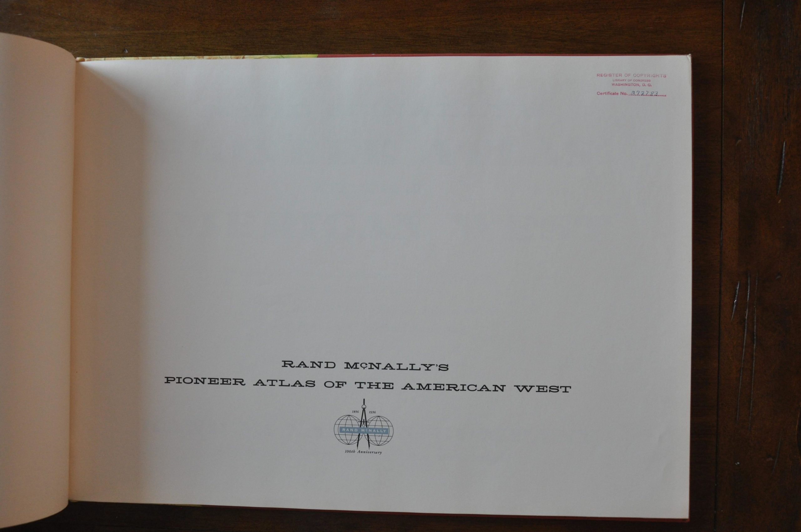
This edition of the atlas was purchased from a former Rand McNally executive and includes the original copyright stamp on the title page.
Map Details
Publication Date: 1959
Author: Rand McNally
Sheet Width (in): 21
Sheet Height (in): 15.25
Condition: A
Condition Description: The atlas is in superb condition, with one small smudge on the front cover.
Out of stock