
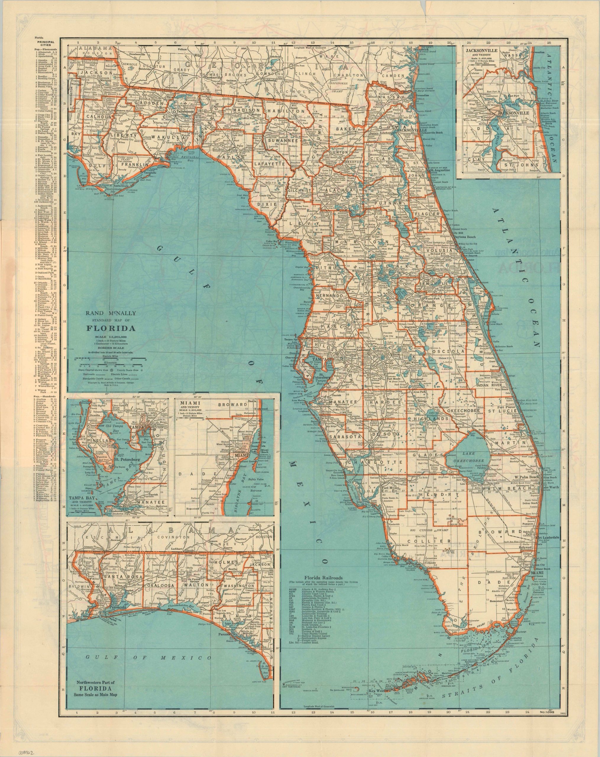
Rand McNally Standard Map of Florida
$100.00
A detailed transportation guide to Florida from the Interwar Period.
1 in stock

Description
Billed as an indispensable guide “for Tourists, Travelers, Shippers, General Commercial and Business Reference,” this is the 1931 Florida edition of Rand McNally’s popular Pocket Maps series. Issued during the early years of the Great Depression, its contents reflect the growing importance of highway travel and automobile tourism even amid a period of profound economic uncertainty.
The 48-page booklet provides a brief history and geographic overview of the Sunshine State, a comprehensive index of places and geographic features, and numerous contemporary advertisements for the publisher. Street maps of Tampa, Orlando, Miami, Daytona Beach, and many other cities are included, along with a hotel directory and additional travel information.
The accompanying fold-out sheet presents two complementary views of Florida, capturing the state’s transportation network in transition. One side features Rand McNally’s traditional “Standard” map, emphasizing county boundaries, railroad lines, and physical geography. The reverse is devoted entirely to the motorist, presenting a detailed “Auto Road Map” that highlights Florida’s rapidly expanding highway system as improved roads increasingly supplanted the railroads as the preferred means of exploring the state.
Map Details
Publication Date: 1931
Author: Rand McNally & Company
Sheet Width (in): 22.25
Sheet Height (in): 28.25
Condition: A-
Condition Description: Color printed folding map (size given) affixed to the back cover of a 48 pp. guidebook with stapled binding and illustrated covers. Creasing along folds and a few small tears in the margins, including one 1" split in the upper right (repaired with archival tape). Very good condition overall.
$100.00
1 in stock