
Rand McNally Standard Map of Cuba
$100.00
Colorful dual-language map of Cuba.
1 in stock
Description
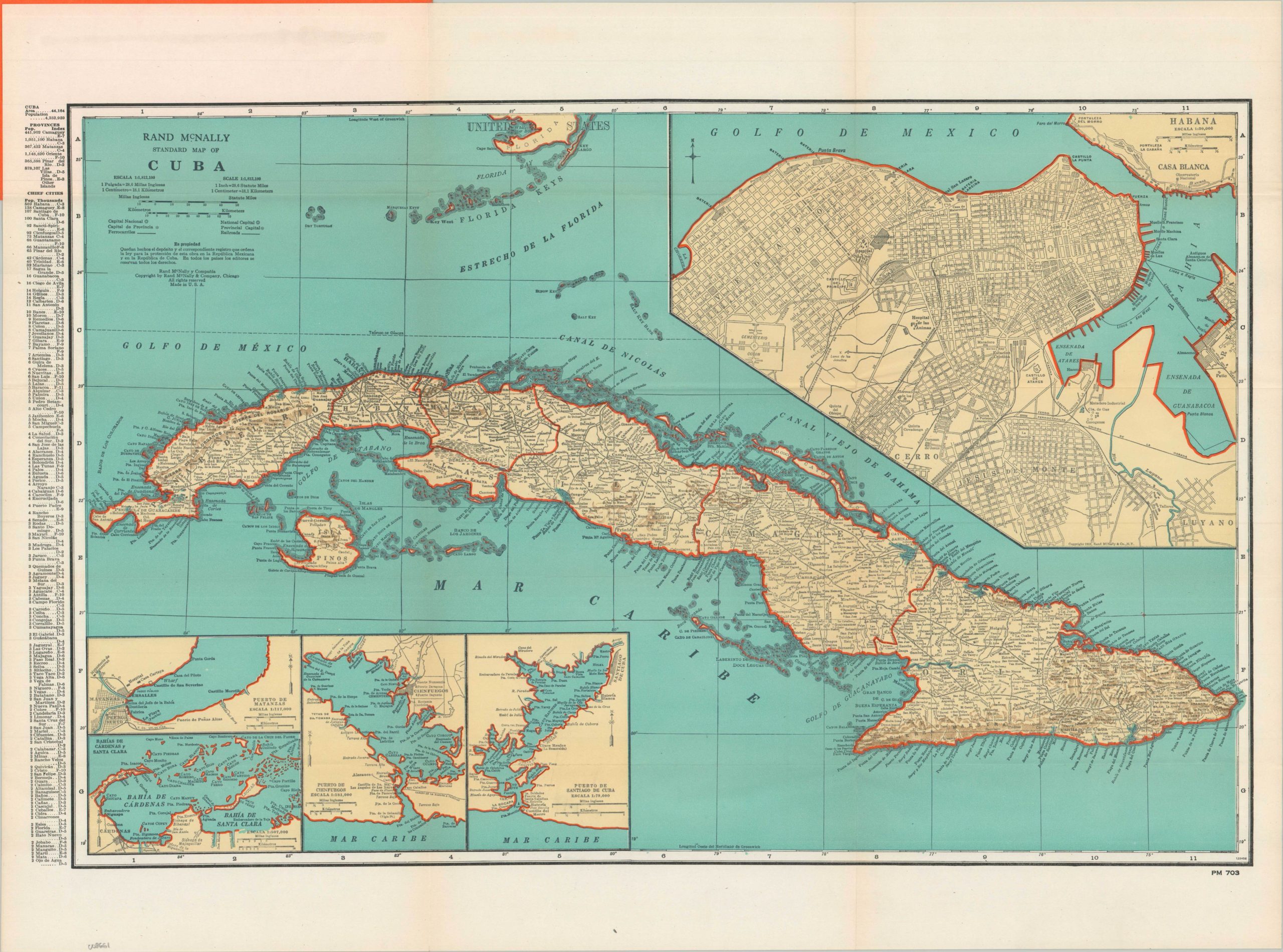
This c. 1947 map of Cuba by Rand McNally is a clean, mid-century example of commercial cartography produced at a time when the island was a primary destination for American tourism and trade (notice the inclusion of the Florida Keys). Featuring dual-language English and Spanish text, the map is designed for a broad audience, serving as both a navigational aid and a business tool. The island’s topography is depicted using rudimentary hachures, providing a visual sense of the mountainous terrain without the clutter of modern contour lines.
A key highlight of the map is its detailed representation of the island’s railroad network. These lines reflect the vital infrastructure used for transporting the sugar and tobacco that dominated Cuba’s economy during the pre-revolutionary era. The upper right presents a large, prominent inset map of Havana and the Bay, offering a detailed look at the capital’s urban layout. Additional smaller insets provide specialized views of crucial maritime hubs, including Puerto de Matanzas, Puerto de Cienfuegos, and Puerto de Santiago de Cuba, as well as the Bahías de Cárdenas and Santa Clara.
Map Details
Publication Date: c. 1947
Author: Rand McNally
Sheet Width (in): 26.9
Sheet Height (in): 19.9
Condition: A-
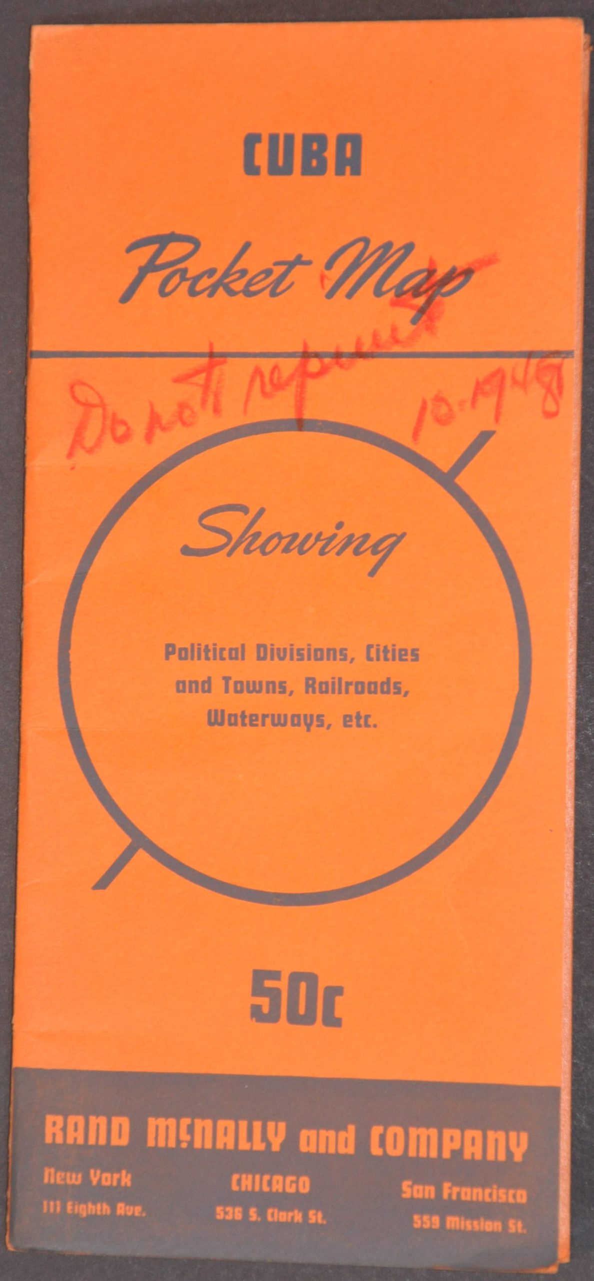
Condition Description: Color printed sheet folded and affixed to original orange paper wraps with red writing on front. A bit of pull away from where attached (upper left), but overall in very good to near fine condition.
$100.00
1 in stock